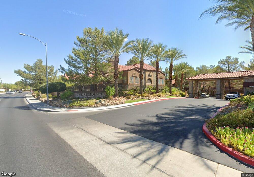
2200 S Fort Apache Rd Unit 1227 Las Vegas, NV 89117
Canyon Gate NeighborhoodEstimated Value: $262,000 - $269,000
3
Beds
2
Baths
1,183
Sq Ft
$225/Sq Ft
Est. Value
About This Home
This home is located at 2200 S Fort Apache Rd Unit 1227, Las Vegas, NV 89117 and is currently estimated at $266,035, approximately $224 per square foot. 2200 S Fort Apache Rd Unit 1227 is a home located in Clark County with nearby schools including Clarence A. Piggott Academy of International Studies, D'Vorre & Hal Ober Elementary School, and Walter Johnson Junior High School Academy of International Studies.
Ownership History
Date
Name
Owned For
Owner Type
Purchase Details
Closed on
Sep 4, 2012
Sold by
Spring Homes Llc
Bought by
Maydan Holdings Llc
Current Estimated Value
Purchase Details
Closed on
May 15, 2012
Sold by
Halleran Joseph K and Halleran Gina M
Bought by
Spring Homes Llc #180
Purchase Details
Closed on
Dec 5, 2005
Sold by
The Residence Las Vegas Llc
Bought by
Halleran Joseph K and Halleran Gina M
Home Financials for this Owner
Home Financials are based on the most recent Mortgage that was taken out on this home.
Original Mortgage
$183,920
Interest Rate
7.5%
Create a Home Valuation Report for This Property
The Home Valuation Report is an in-depth analysis detailing your home's value as well as a comparison with similar homes in the area
Home Values in the Area
Average Home Value in this Area
Purchase History
| Date | Buyer | Sale Price | Title Company |
|---|---|---|---|
| Maydan Holdings Llc | $106,500 | Ticor Title Las Vegas | |
| Spring Homes Llc #180 | $53,250 | Ticor Title Las Vegas | |
| Halleran Joseph K | $229,900 | Nevada Title Company |
Source: Public Records
Mortgage History
| Date | Status | Borrower | Loan Amount |
|---|---|---|---|
| Previous Owner | Halleran Joseph K | $183,920 |
Source: Public Records
Tax History Compared to Growth
Tax History
| Year | Tax Paid | Tax Assessment Tax Assessment Total Assessment is a certain percentage of the fair market value that is determined by local assessors to be the total taxable value of land and additions on the property. | Land | Improvement |
|---|---|---|---|---|
| 2025 | $1,110 | $52,128 | $21,350 | $30,778 |
| 2024 | $960 | $52,128 | $21,350 | $30,778 |
| 2023 | $960 | $50,768 | $22,050 | $28,718 |
| 2022 | $889 | $44,195 | $17,500 | $26,695 |
| 2021 | $823 | $42,266 | $16,450 | $25,816 |
| 2020 | $761 | $42,256 | $16,450 | $25,806 |
| 2019 | $714 | $39,346 | $13,650 | $25,696 |
| 2018 | $681 | $32,548 | $7,350 | $25,198 |
| 2017 | $1,069 | $32,585 | $6,650 | $25,935 |
| 2016 | $639 | $32,193 | $5,950 | $26,243 |
| 2015 | $636 | $24,374 | $4,200 | $20,174 |
| 2014 | $616 | $18,455 | $4,200 | $14,255 |
Source: Public Records
Map
Nearby Homes
- 2200 S Fort Apache Rd Unit 2133
- 2200 S Fort Apache Rd Unit 2044
- 2200 S Fort Apache Rd Unit 2017
- 2200 S Fort Apache Rd Unit 2073
- 2200 S Fort Apache Rd Unit 2202
- 2200 S Fort Apache Rd Unit 2209
- 2200 S Fort Apache Rd Unit 1025
- 2200 S Fort Apache Rd Unit 1101
- 2200 S Fort Apache Rd Unit 2041
- 2200 S Fort Apache Rd Unit 2062
- 2200 S Fort Apache Rd Unit 2113
- 2200 S Fort Apache Rd Unit 1038
- 2200 S Fort Apache Rd Unit 2228
- 2200 S Fort Apache Rd Unit 2123
- 2024 Bay Hill Dr
- 2017 Eagle Trace Way
- 1824 Glenwillow Dr
- 1840 Shirewick Dr
- 9008 Emerald Hill Way
- 9204 Vosburgh Dr
- 2200 S Fort Apache Rd Unit 1085
- 2200 S Fort Apache Rd Unit 2173
- 2200 S Fort Apache Rd Unit 1207
- 2200 S Fort Apache Rd
- 2200 S Fort Apache Rd Unit 1200
- 2200 S Fort Apache Rd Unit 2058
- 2200 S Fort Apache Rd Unit 2241
- 2200 S Fort Apache Rd Unit 2135
- 2200 S Fort Apache Rd Unit 1052
- 2200 S Fort Apache Rd Unit 2194
- 2200 S Fort Apache Rd Unit 2065
- 2200 S Fort Apache Rd Unit 1161
- 2200 S Fort Apache Rd Unit 2237
- 2200 S Fort Apache Rd Unit 1023
- 2200 S Fort Apache Rd Unit 2177
- 2200 S Fort Apache Rd Unit 2193
- 2200 S Fort Apache Rd Unit 2226