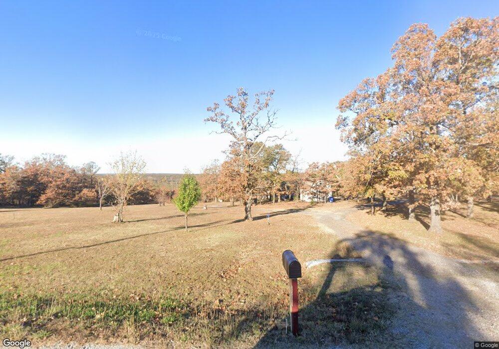
2200 Speck Wright Rd Mannford, OK 74044
Estimated Value: $273,123 - $406,000
--
Bed
--
Bath
1,712
Sq Ft
$188/Sq Ft
Est. Value
About This Home
This home is located at 2200 Speck Wright Rd, Mannford, OK 74044 and is currently estimated at $321,031, approximately $187 per square foot. 2200 Speck Wright Rd is a home with nearby schools including Mannford Upper Elementary School, Mannford Lower Elementary School, and Mannford Middle School.
Ownership History
Date
Name
Owned For
Owner Type
Purchase Details
Closed on
Apr 25, 2008
Sold by
Mulholland James B
Bought by
Biggs Greogry Thomas and Biggs Debora Jo
Current Estimated Value
Purchase Details
Closed on
Apr 21, 2008
Sold by
Mulholland James B
Bought by
Biggs Gregory Thomas and Biggs Debora Jo
Purchase Details
Closed on
Dec 13, 2006
Sold by
Jones Carolyn A and Jones Richard L
Bought by
Mulholland James B
Create a Home Valuation Report for This Property
The Home Valuation Report is an in-depth analysis detailing your home's value as well as a comparison with similar homes in the area
Home Values in the Area
Average Home Value in this Area
Purchase History
| Date | Buyer | Sale Price | Title Company |
|---|---|---|---|
| Biggs Greogry Thomas | -- | None Available | |
| Biggs Gregory Thomas | $10,000 | None Available | |
| Mulholland James B | $8,500 | None Available |
Source: Public Records
Tax History Compared to Growth
Tax History
| Year | Tax Paid | Tax Assessment Tax Assessment Total Assessment is a certain percentage of the fair market value that is determined by local assessors to be the total taxable value of land and additions on the property. | Land | Improvement |
|---|---|---|---|---|
| 2024 | $2,470 | $26,041 | $1,535 | $24,506 |
| 2023 | $2,470 | $24,801 | $1,535 | $23,266 |
| 2022 | $2,164 | $23,620 | $1,535 | $22,085 |
| 2021 | $2,042 | $22,496 | $1,535 | $20,961 |
| 2020 | $2,190 | $23,427 | $1,535 | $21,892 |
| 2019 | $2,271 | $24,055 | $1,387 | $22,668 |
| 2018 | $2,231 | $22,909 | $767 | $22,142 |
| 2017 | $2,181 | $22,909 | $767 | $22,142 |
| 2016 | $2,151 | $22,728 | $767 | $21,961 |
| 2015 | -- | $1,109 | $767 | $342 |
| 2014 | -- | $767 | $767 | $0 |
Source: Public Records
Map
Nearby Homes
- 2018 Baker Dr
- 2895 Speck Wright Rd
- 42900 W 11th St
- 41192 Kings Hill Rd
- 40885 Bear Rd
- 2950 S 385th West Ave
- 2464 S 369th West Ave
- 38087 W 28th St S
- 36516 Cramer Rd
- 2 E 5800 Rd
- 1469 S Lisa Ln
- 2122 S 353rd West Ave
- 0 W 11th St S Unit 2522391
- 2365 S 361st West Ave
- 35846 Stone Creek Place
- 3042 State Highway 48
- 45440 W 46th St S
- 5006 S 449th Ave W
- 4892 S 369th West Ave
- 35459 W 36th St S
- 2178 Speck Wright Rd
- 2278 Speck Wright Rd
- 2142 Speck Wright Rd
- 2114 Speck Wright Rd
- 2279 Speck Wright Rd
- 2185 Speck Wright Rd
- 2323 Speck Wright Rd
- 2371 Speck Wright Rd
- 2374 Speck Wright Rd
- 2100 Speck Wright Rd
- 2434 Speck Wright Rd
- 2017 Baker Dr
- 1944 Baker Dr
- 40664 W 21st St S
- 2550 Speck Wright Rd
- 1886 Baker Dr
- 2560 Speck Wright Rd
- 2575 Speck Wright Rd
- 2525 Speck Wright Rd
- 1897 Baker Dr