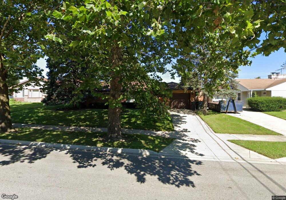
2200 University Ave Waukegan, IL 60085
West Waukegan NeighborhoodEstimated Value: $223,000 - $245,000
2
Beds
1
Bath
1,141
Sq Ft
$204/Sq Ft
Est. Value
About This Home
This home is located at 2200 University Ave, Waukegan, IL 60085 and is currently estimated at $232,572, approximately $203 per square foot. 2200 University Ave is a home located in Lake County with nearby schools including Whittier Elementary School, Robert E. Abbott Middle School, and Waukegan High School.
Ownership History
Date
Name
Owned For
Owner Type
Purchase Details
Closed on
Nov 27, 2013
Sold by
Wynn Michael J
Bought by
Wynn Michael J and The Michael J Wynn Living Trus
Current Estimated Value
Purchase Details
Closed on
Mar 12, 2009
Sold by
Howe Holly and Howe Milton A
Bought by
Carlsen Barbara
Purchase Details
Closed on
Jul 8, 1996
Sold by
Sladek Milton A and Sladek Rosalie M
Bought by
Sladek Milton A and Sladek Rosalie M
Create a Home Valuation Report for This Property
The Home Valuation Report is an in-depth analysis detailing your home's value as well as a comparison with similar homes in the area
Home Values in the Area
Average Home Value in this Area
Purchase History
| Date | Buyer | Sale Price | Title Company |
|---|---|---|---|
| Wynn Michael J | -- | None Available | |
| Carlsen Barbara | -- | None Available | |
| Sladek Milton A | -- | -- |
Source: Public Records
Tax History Compared to Growth
Tax History
| Year | Tax Paid | Tax Assessment Tax Assessment Total Assessment is a certain percentage of the fair market value that is determined by local assessors to be the total taxable value of land and additions on the property. | Land | Improvement |
|---|---|---|---|---|
| 2024 | $5,378 | $63,703 | $12,854 | $50,849 |
| 2023 | $4,527 | $57,033 | $11,508 | $45,525 |
| 2022 | $4,527 | $52,308 | $9,791 | $42,517 |
| 2021 | $4,395 | $48,157 | $9,058 | $39,099 |
| 2020 | $4,406 | $44,864 | $8,439 | $36,425 |
| 2019 | $4,381 | $41,111 | $7,733 | $33,378 |
| 2018 | $3,979 | $37,160 | $9,949 | $27,211 |
| 2017 | $3,823 | $32,876 | $8,802 | $24,074 |
| 2016 | $3,487 | $28,568 | $7,649 | $20,919 |
| 2015 | $3,306 | $25,569 | $6,846 | $18,723 |
| 2014 | $3,034 | $23,468 | $7,102 | $16,366 |
| 2012 | $3,979 | $25,426 | $7,695 | $17,731 |
Source: Public Records
Map
Nearby Homes
- 615 Tiffany Dr
- 2115 Lydia St
- 1213 Grand Ave
- 0 Brookside Ave
- 1005 N Lewis Ave
- 1023 N Elmwood Ave
- 1038 Indiana Ave
- 24 Washington Terrace
- 824 N Butrick St
- 132 Dorchester Ct
- 1117 Judge Ave
- 102 Baldwin Ave
- 2813 Theresa Ave
- 12352 W Atlantic Ave
- 1000 Pine St
- 49 S Lewis Ave
- 1109 Massena Ave
- 1416 Hamilton Ct
- 621 N Austin Ave
- 1504 W Glen Flora Ave
- 623 Leith Ave
- 623 Tiffany Dr
- 619 Tiffany Dr
- 2209 University Ave
- 2303 Grand Ave
- 2229 Grand Ave
- 2323 Grand Ave
- 2141 University Ave
- 2220 University Ave
- 2221 Grand Ave
- 2217 Grand Ave
- 533 Leith Ave
- 536 Tiffany Dr
- 2230 University Ave
- 600 Leith Ave
- 531 Leith Ave
- 611 Tiffany Dr
- 532 Tiffany Dr
- 536 Leith Ave
- 2300 University Ave