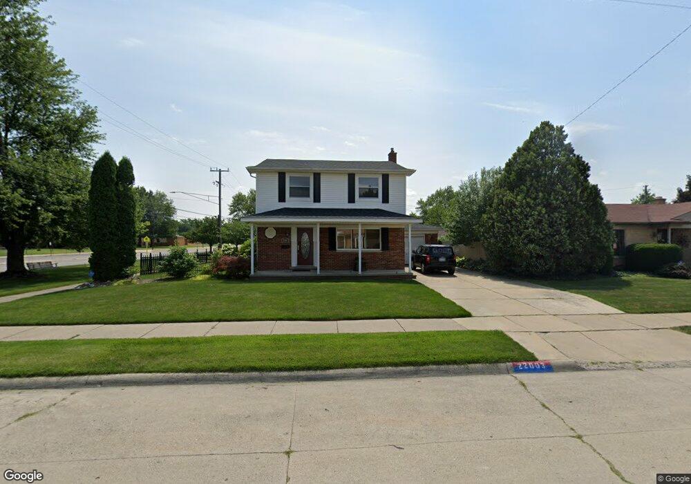
22003 Koths St Unit Bldg-Unit Taylor, MI 48180
Estimated Value: $253,803 - $276,000
--
Bed
2
Baths
1,618
Sq Ft
$165/Sq Ft
Est. Value
About This Home
This home is located at 22003 Koths St Unit Bldg-Unit, Taylor, MI 48180 and is currently estimated at $266,201, approximately $164 per square foot. 22003 Koths St Unit Bldg-Unit is a home located in Wayne County with nearby schools including Kinyon Elementary School, Robert J. West Middle School, and Taylor Preparatory High School.
Ownership History
Date
Name
Owned For
Owner Type
Purchase Details
Closed on
Feb 21, 2018
Sold by
Austin Floyd Austin W and Austin Floyd
Bought by
Rios Samuel C
Current Estimated Value
Home Financials for this Owner
Home Financials are based on the most recent Mortgage that was taken out on this home.
Original Mortgage
$153,174
Outstanding Balance
$131,346
Interest Rate
4.5%
Mortgage Type
FHA
Estimated Equity
$134,855
Purchase Details
Closed on
Mar 27, 2007
Sold by
Va
Bought by
Floyd Austin
Home Financials for this Owner
Home Financials are based on the most recent Mortgage that was taken out on this home.
Original Mortgage
$128,981
Interest Rate
6.2%
Mortgage Type
FHA
Purchase Details
Closed on
Dec 23, 2004
Sold by
Simon Raymond N and Simon Sandra L
Bought by
Va
Purchase Details
Closed on
Oct 13, 1997
Sold by
Wisusik Craig and Wisusik Dawn
Bought by
Simon Raymond N and Simon Sandra L
Create a Home Valuation Report for This Property
The Home Valuation Report is an in-depth analysis detailing your home's value as well as a comparison with similar homes in the area
Home Values in the Area
Average Home Value in this Area
Purchase History
| Date | Buyer | Sale Price | Title Company |
|---|---|---|---|
| Rios Samuel C | $157,000 | Title Re Source Agency | |
| Floyd Austin | $71,000 | Metro Title Corp | |
| Va | $140,126 | -- | |
| Simon Raymond N | $131,750 | -- |
Source: Public Records
Mortgage History
| Date | Status | Borrower | Loan Amount |
|---|---|---|---|
| Open | Rios Samuel C | $153,174 | |
| Previous Owner | Floyd Austin | $128,981 |
Source: Public Records
Tax History Compared to Growth
Tax History
| Year | Tax Paid | Tax Assessment Tax Assessment Total Assessment is a certain percentage of the fair market value that is determined by local assessors to be the total taxable value of land and additions on the property. | Land | Improvement |
|---|---|---|---|---|
| 2025 | $3,364 | $121,800 | $0 | $0 |
| 2024 | $3,364 | $115,900 | $0 | $0 |
| 2023 | $4,013 | $104,200 | $0 | $0 |
| 2022 | $3,211 | $95,500 | $0 | $0 |
| 2021 | $3,527 | $87,200 | $0 | $0 |
| 2020 | $3,495 | $78,400 | $0 | $0 |
| 2019 | $349,505 | $65,900 | $0 | $0 |
| 2018 | $2,131 | $54,900 | $0 | $0 |
| 2017 | $1,162 | $51,400 | $0 | $0 |
| 2016 | $2,641 | $49,900 | $0 | $0 |
| 2015 | $4,816 | $49,100 | $0 | $0 |
| 2013 | $4,790 | $49,800 | $0 | $0 |
| 2012 | $2,099 | $48,400 | $14,100 | $34,300 |
Source: Public Records
Map
Nearby Homes
- 9883 Roosevelt St
- 22129 Kinyon St Unit 52
- 22333 Kinyon St
- 9942 Lincoln St
- 22150 Haig St
- 22455 Meadow Woods Cir
- 10880 Pardee Rd Unit 45
- 22662 Goddard Rd Unit 7
- 9560 Sylvester St
- 22730 Goddard Rd Unit 37
- 22654 Cloverlawn St
- 10219 Island Lake Dr
- 10272 Island Lake Dr
- 11187 Pardee Rd
- 9381 Pardee Rd
- 10769 Birch St
- 10578 Island Lake Dr
- 22311 Wick Rd
- 22327 Wick Rd
- 22134 Wick Rd
- 22003 Koths St
- 22015 Koths St
- 22004 Kensington St
- 22027 Koths St
- 22016 Kensington St
- 22028 Kensington St
- 22039 Koths St
- 22002 Koths St
- 22014 Koths St
- 22040 Kensington St
- 22026 Koths St
- 22051 Koths St
- 10187 Monroe Blvd
- 22038 Koths St
- 22052 Kensington St
- 10152 Monroe Blvd
- 10173 Monroe Blvd
- 22005 Kensington St
- 22063 Koths St
- 22050 Koths St