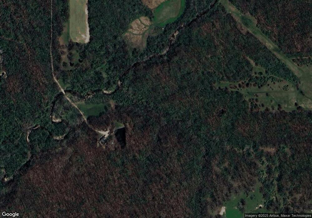
22005 Brand Trail Ln Litchfield, IL 62056
Estimated Value: $104,000 - $423,992
--
Bed
--
Bath
--
Sq Ft
11.62
Acres
About This Home
This home is located at 22005 Brand Trail Ln, Litchfield, IL 62056 and is currently estimated at $229,498. 22005 Brand Trail Ln is a home located in Macoupin County with nearby schools including Ben-Gil Elementary School, Gillespie Middle School, and Gillespie High School.
Ownership History
Date
Name
Owned For
Owner Type
Purchase Details
Closed on
Mar 7, 2020
Sold by
Minkevich Theodore J and Minkevich Virginia L
Bought by
Minkevich Theodore J
Current Estimated Value
Home Financials for this Owner
Home Financials are based on the most recent Mortgage that was taken out on this home.
Original Mortgage
$231,308
Outstanding Balance
$204,466
Interest Rate
3.4%
Mortgage Type
VA
Estimated Equity
$25,032
Purchase Details
Closed on
Feb 2, 2007
Bought by
Minkevich Theodore and Minkevich Virginia
Create a Home Valuation Report for This Property
The Home Valuation Report is an in-depth analysis detailing your home's value as well as a comparison with similar homes in the area
Home Values in the Area
Average Home Value in this Area
Purchase History
| Date | Buyer | Sale Price | Title Company |
|---|---|---|---|
| Minkevich Theodore J | -- | None Available | |
| Minkevich Theodore | $260,000 | -- |
Source: Public Records
Mortgage History
| Date | Status | Borrower | Loan Amount |
|---|---|---|---|
| Open | Minkevich Theodore J | $231,308 |
Source: Public Records
Tax History Compared to Growth
Tax History
| Year | Tax Paid | Tax Assessment Tax Assessment Total Assessment is a certain percentage of the fair market value that is determined by local assessors to be the total taxable value of land and additions on the property. | Land | Improvement |
|---|---|---|---|---|
| 2024 | $4,364 | $92,537 | $15,700 | $76,837 |
| 2023 | $4,263 | $85,682 | $14,537 | $71,145 |
| 2022 | $4,263 | $80,077 | $13,586 | $66,491 |
| 2021 | $4,089 | $80,838 | $12,697 | $68,141 |
| 2020 | $4,212 | $79,371 | $12,448 | $66,923 |
| 2019 | $4,210 | $69,877 | $11,855 | $58,022 |
| 2018 | $4,050 | $67,842 | $0 | $0 |
| 2017 | $4,006 | $65,107 | $11,046 | $54,061 |
| 2016 | $3,996 | $65,107 | $11,046 | $54,061 |
| 2015 | $4,061 | $65,107 | $11,046 | $54,061 |
| 2014 | $4,075 | $65,107 | $11,046 | $54,061 |
| 2013 | $4,009 | $68,490 | $11,620 | $56,870 |
Source: Public Records
Map
Nearby Homes
- TBD Adams St
- 10970 Cordum Ave
- 11 Dayspring
- 10160 Old Route 66
- 810 Harding Ave
- 347 S Lincoln St
- 301 Laura St
- 107 Richard St
- 709 S Jefferson St
- 512 W Kirkham St
- 418 E Maple St
- 418 E Elm St
- TBD S State St
- 211 Edgar St
- 610 Rotary St
- 210 Fulton St
- 204 E Columbia St
- 0 Maple & Clinton St Unit MAR24065949
- 709 1st St
- 301 Park Ave