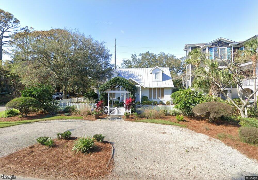
2201 Bruce Dr Saint Simons Island, GA 31522
Estimated Value: $1,403,000 - $1,871,000
3
Beds
3
Baths
2,337
Sq Ft
$687/Sq Ft
Est. Value
About This Home
This home is located at 2201 Bruce Dr, Saint Simons Island, GA 31522 and is currently estimated at $1,606,035, approximately $687 per square foot. 2201 Bruce Dr is a home located in Glynn County with nearby schools including St. Simons Elementary School, Glynn Middle School, and Glynn Academy.
Ownership History
Date
Name
Owned For
Owner Type
Purchase Details
Closed on
May 27, 2010
Sold by
Atlas Ga I Spe Llc
Bought by
Schneider Bernard and Schneider Leslie
Current Estimated Value
Home Financials for this Owner
Home Financials are based on the most recent Mortgage that was taken out on this home.
Original Mortgage
$408,000
Outstanding Balance
$272,796
Interest Rate
5%
Mortgage Type
New Conventional
Estimated Equity
$1,333,239
Purchase Details
Closed on
Nov 24, 2009
Sold by
Stewart Thomas D
Bought by
Atlas Ga I Spe Llc
Create a Home Valuation Report for This Property
The Home Valuation Report is an in-depth analysis detailing your home's value as well as a comparison with similar homes in the area
Home Values in the Area
Average Home Value in this Area
Purchase History
| Date | Buyer | Sale Price | Title Company |
|---|---|---|---|
| Schneider Bernard | $510,000 | -- | |
| Atlas Ga I Spe Llc | -- | -- |
Source: Public Records
Mortgage History
| Date | Status | Borrower | Loan Amount |
|---|---|---|---|
| Open | Schneider Bernard | $408,000 |
Source: Public Records
Tax History Compared to Growth
Tax History
| Year | Tax Paid | Tax Assessment Tax Assessment Total Assessment is a certain percentage of the fair market value that is determined by local assessors to be the total taxable value of land and additions on the property. | Land | Improvement |
|---|---|---|---|---|
| 2025 | $13,419 | $535,080 | $345,600 | $189,480 |
| 2024 | $11,489 | $458,120 | $324,000 | $134,120 |
| 2023 | $11,607 | $467,240 | $345,600 | $121,640 |
| 2022 | $8,930 | $351,080 | $216,000 | $135,080 |
| 2021 | $7,636 | $290,440 | $216,000 | $74,440 |
| 2020 | $7,434 | $279,920 | $216,000 | $63,920 |
| 2019 | $5,742 | $215,120 | $151,200 | $63,920 |
| 2018 | $5,742 | $215,120 | $151,200 | $63,920 |
| 2017 | $5,742 | $215,120 | $151,200 | $63,920 |
| 2016 | $4,997 | $203,000 | $151,200 | $51,800 |
| 2015 | $4,236 | $203,000 | $151,200 | $51,800 |
| 2014 | $4,236 | $170,600 | $118,800 | $51,800 |
Source: Public Records
Map
Nearby Homes
- 4318 13th St
- 2022 Bruce Cir
- 4318 7th St
- 1909 Dixon Ln
- 1709 Dixon Ln
- 1626 Bruce Dr
- 1604 Bruce Dr
- 6 Coast Cottage Ln
- 17 Sea Oats Ln
- 5 and 7 Sea Oats Ln
- 103 Cater St
- 1528 Ocean Blvd
- 1524 Wood Ave Unit 303
- 1524 Wood Ave Unit 215
- 1524 Wood Ave Unit 214
- 1524 Wood Ave Unit 314
- 1524 Wood Ave Unit 116
- 118 Grand Oaks Ln
- 1495 Wood Ave
- 135 Stewart St