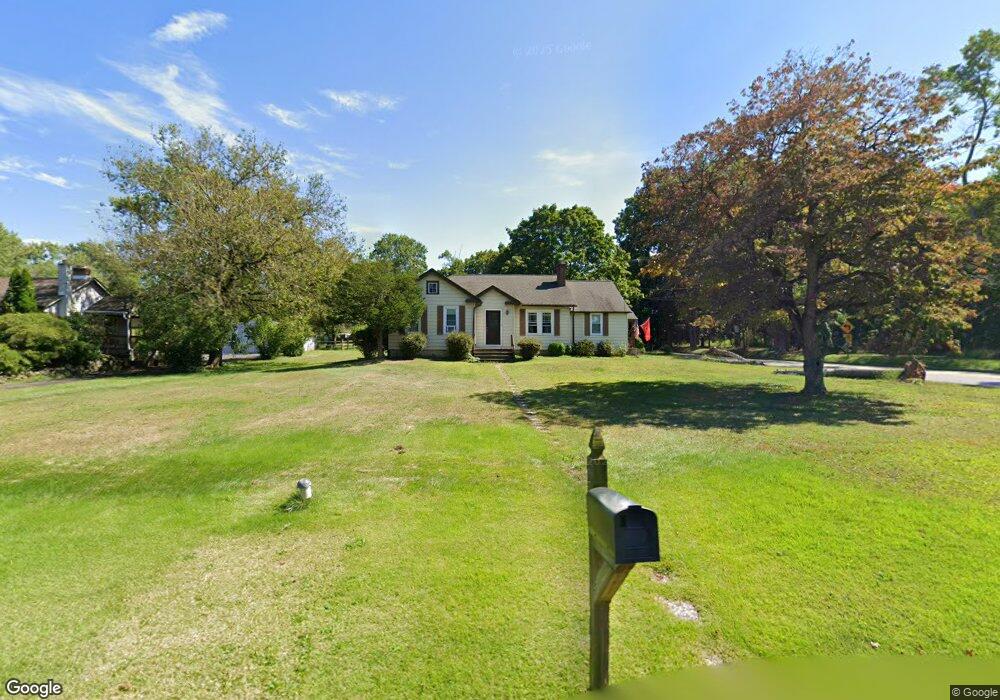
2201 Lenhart Rd Colmar, PA 18915
Estimated Value: $396,000 - $427,333
3
Beds
1
Bath
1,450
Sq Ft
$284/Sq Ft
Est. Value
About This Home
This home is located at 2201 Lenhart Rd, Colmar, PA 18915 and is currently estimated at $411,333, approximately $283 per square foot. 2201 Lenhart Rd is a home located in Montgomery County with nearby schools including A. M. Kulp Elementary School, Penndale Middle School, and North Penn Senior High School.
Ownership History
Date
Name
Owned For
Owner Type
Purchase Details
Closed on
Nov 30, 2007
Sold by
Cavanaugh Arlene L
Bought by
Platko Joan L and Platko Peter S
Current Estimated Value
Home Financials for this Owner
Home Financials are based on the most recent Mortgage that was taken out on this home.
Original Mortgage
$202,000
Outstanding Balance
$127,858
Interest Rate
6.3%
Estimated Equity
$283,475
Create a Home Valuation Report for This Property
The Home Valuation Report is an in-depth analysis detailing your home's value as well as a comparison with similar homes in the area
Home Values in the Area
Average Home Value in this Area
Purchase History
| Date | Buyer | Sale Price | Title Company |
|---|---|---|---|
| Platko Joan L | $230,000 | None Available |
Source: Public Records
Mortgage History
| Date | Status | Borrower | Loan Amount |
|---|---|---|---|
| Open | Platko Joan L | $202,000 |
Source: Public Records
Tax History Compared to Growth
Tax History
| Year | Tax Paid | Tax Assessment Tax Assessment Total Assessment is a certain percentage of the fair market value that is determined by local assessors to be the total taxable value of land and additions on the property. | Land | Improvement |
|---|---|---|---|---|
| 2025 | $5,269 | $131,630 | $62,380 | $69,250 |
| 2024 | $5,269 | $131,630 | $62,380 | $69,250 |
| 2023 | $5,044 | $131,630 | $62,380 | $69,250 |
| 2022 | $4,880 | $131,630 | $62,380 | $69,250 |
| 2021 | $4,741 | $131,630 | $62,380 | $69,250 |
| 2020 | $4,629 | $131,630 | $62,380 | $69,250 |
| 2019 | $4,552 | $131,630 | $62,380 | $69,250 |
| 2018 | $4,551 | $131,630 | $62,380 | $69,250 |
| 2017 | $4,378 | $131,630 | $62,380 | $69,250 |
| 2016 | $4,326 | $131,630 | $62,380 | $69,250 |
| 2015 | $4,153 | $131,630 | $62,380 | $69,250 |
| 2014 | $4,153 | $131,630 | $62,380 | $69,250 |
Source: Public Records
Map
Nearby Homes
- 2111 Hidden Meadow Dr
- 5 Fortuna Dr
- 6 Fortuna Dr
- 9 Fortuna Dr
- 8 Fortuna Dr
- 0002 Sydney Ln
- 000 Lenape Dr
- 83 Bethlehem Pike Unit 1213 FIRESTONE
- 83 Bethlehem Pike Unit 1106- MADISON PLAN
- 2674 Anthony Dr
- 1823 N Line St
- 401 Sadie Ave
- 381 Sydney Ave
- 373 Sydney Ln
- 375 Sydney Ln
- Warwick Plan at Sterling Walk
- Stratford Plan at Sterling Walk
- 732 Cowpath Rd
- 2943 E Walnut St Unit 59
- 6 Lantern Ln
- 2215 Lenhart Rd
- 2217 Lenhart Rd
- 2215 Lenhart Rd
- 2218 W Walnut St
- 200 Norman Ave
- 2229 Lenhart Rd
- 2224 W Walnut St
- 2206 Lenhart Rd
- 0 Lot 7 Norman Rd Unit PAMC2052140
- Lot 7 Norman Rd
- 2232 W Walnut St
- 224 Norman Ave
- 2172 Lenhart Rd
- 2222 Lenhart Rd Unit 1
- 2233 Lenhart Rd
- 2240 W Walnut St
- 343 Norman Ave
- 2169 Lenhart Rd
- 2217 W Walnut St
- 2235 Lenhart Rd