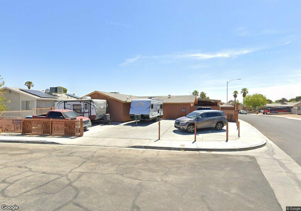
2201 Obispo Cir Las Vegas, NV 89108
Michael Way NeighborhoodEstimated Value: $316,000 - $444,000
4
Beds
2
Baths
1,692
Sq Ft
$236/Sq Ft
Est. Value
About This Home
This home is located at 2201 Obispo Cir, Las Vegas, NV 89108 and is currently estimated at $399,609, approximately $236 per square foot. 2201 Obispo Cir is a home located in Clark County with nearby schools including Bertha Ronzone Elementary School, J. Harold Brinley Middle School, and Cimarron Memorial High School.
Ownership History
Date
Name
Owned For
Owner Type
Purchase Details
Closed on
Dec 2, 1997
Sold by
Alon Steve Shabtai
Bought by
Gallinar Jose and Gallinar Irene
Current Estimated Value
Home Financials for this Owner
Home Financials are based on the most recent Mortgage that was taken out on this home.
Original Mortgage
$89,059
Outstanding Balance
$15,173
Interest Rate
7.31%
Mortgage Type
FHA
Estimated Equity
$384,436
Create a Home Valuation Report for This Property
The Home Valuation Report is an in-depth analysis detailing your home's value as well as a comparison with similar homes in the area
Home Values in the Area
Average Home Value in this Area
Purchase History
| Date | Buyer | Sale Price | Title Company |
|---|---|---|---|
| Gallinar Jose | $90,000 | Land Title |
Source: Public Records
Mortgage History
| Date | Status | Borrower | Loan Amount |
|---|---|---|---|
| Open | Gallinar Jose | $89,059 |
Source: Public Records
Tax History Compared to Growth
Tax History
| Year | Tax Paid | Tax Assessment Tax Assessment Total Assessment is a certain percentage of the fair market value that is determined by local assessors to be the total taxable value of land and additions on the property. | Land | Improvement |
|---|---|---|---|---|
| 2025 | $1,420 | $71,084 | $29,400 | $41,684 |
| 2024 | $1,380 | $71,084 | $29,400 | $41,684 |
| 2023 | $1,380 | $69,494 | $29,050 | $40,444 |
| 2022 | $1,340 | $59,391 | $22,050 | $37,341 |
| 2021 | $1,360 | $56,020 | $20,300 | $35,720 |
| 2020 | $1,260 | $54,944 | $19,250 | $35,694 |
| 2019 | $1,181 | $51,302 | $15,750 | $35,552 |
| 2018 | $1,127 | $48,063 | $13,650 | $34,413 |
| 2017 | $1,562 | $47,651 | $12,600 | $35,051 |
| 2016 | $1,056 | $45,169 | $9,450 | $35,719 |
| 2015 | $1,052 | $26,992 | $6,300 | $20,692 |
| 2014 | $542 | $16,040 | $5,250 | $10,790 |
Source: Public Records
Map
Nearby Homes
- 6120 Rosalita Ave
- 5917 Smoke Ranch Rd Unit B
- 5905 Smoke Ranch Rd Unit A
- 2031 San Simeon St
- 6231 Santa Maria Ave
- 5800 Auborn Ave
- 2021 San Simeon St
- 6215 Don Zarembo Ave
- 2499 N Jones Blvd
- 6227 Don Gaspar Ave
- 6231 Don Gaspar Ave
- 5621 Balzar Ave
- 2365 Canfield Dr Unit D
- 2374 Cardiff Ln Unit B
- 2349 Cardiff Ln Unit B
- 6324 Eugene Ave
- 2017 Winwood St
- 2513 Calico St
- 6204 Robin Hood Cir
- 6224 Yerba Ln
- 2205 Obispo Cir
- 2200 La Sombra St
- 2204 La Sombra St
- 2209 Obispo Cir
- 6117 Caprino Ave
- 6121 Caprino Ave
- 2208 La Sombra St
- 2200 Obispo Cir
- 6125 Caprino Ave
- 6109 Caprino Ave
- 2213 Obispo Cir
- 2204 Obispo Cir
- 2204 Obispo Cir
- 2212 La Sombra St
- 6129 Caprino Ave
- 2208 Obispo Cir
- 6120 Eugene Ave
- 6124 Eugene Ave
- 2201 La Sombra St
- 2205 La Sombra St