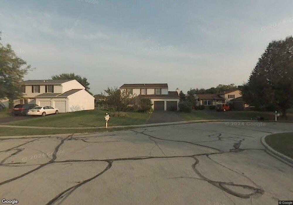
2201 Queensdale Ct Maumee, OH 43537
Estimated Value: $267,000 - $285,000
4
Beds
3
Baths
1,837
Sq Ft
$150/Sq Ft
Est. Value
About This Home
This home is located at 2201 Queensdale Ct, Maumee, OH 43537 and is currently estimated at $276,109, approximately $150 per square foot. 2201 Queensdale Ct is a home located in Lucas County with nearby schools including Holloway Elementary School, Springfield Middle School, and Springfield High School.
Ownership History
Date
Name
Owned For
Owner Type
Purchase Details
Closed on
Oct 19, 2005
Sold by
Singh Raymond S
Bought by
Singh Raymond S and Singh Shamyun
Current Estimated Value
Home Financials for this Owner
Home Financials are based on the most recent Mortgage that was taken out on this home.
Original Mortgage
$140,250
Interest Rate
7.87%
Mortgage Type
New Conventional
Purchase Details
Closed on
Sep 27, 2000
Sold by
Dandona A S
Bought by
Singh Raymond S
Home Financials for this Owner
Home Financials are based on the most recent Mortgage that was taken out on this home.
Original Mortgage
$93,000
Interest Rate
10.99%
Mortgage Type
Purchase Money Mortgage
Create a Home Valuation Report for This Property
The Home Valuation Report is an in-depth analysis detailing your home's value as well as a comparison with similar homes in the area
Home Values in the Area
Average Home Value in this Area
Purchase History
| Date | Buyer | Sale Price | Title Company |
|---|---|---|---|
| Singh Raymond S | -- | -- | |
| Singh Raymond S | $128,000 | -- |
Source: Public Records
Mortgage History
| Date | Status | Borrower | Loan Amount |
|---|---|---|---|
| Previous Owner | Singh Raymond S | $140,250 | |
| Previous Owner | Singh Raymond S | $93,000 |
Source: Public Records
Tax History Compared to Growth
Tax History
| Year | Tax Paid | Tax Assessment Tax Assessment Total Assessment is a certain percentage of the fair market value that is determined by local assessors to be the total taxable value of land and additions on the property. | Land | Improvement |
|---|---|---|---|---|
| 2024 | $2,451 | $81,130 | $15,330 | $65,800 |
| 2023 | $4,112 | $59,430 | $11,655 | $47,775 |
| 2022 | $4,110 | $59,430 | $11,655 | $47,775 |
| 2021 | $3,864 | $59,430 | $11,655 | $47,775 |
| 2020 | $3,676 | $51,275 | $9,730 | $41,545 |
| 2019 | $3,590 | $51,275 | $9,730 | $41,545 |
| 2018 | $3,300 | $51,275 | $9,730 | $41,545 |
| 2017 | $3,042 | $40,425 | $10,920 | $29,505 |
| 2016 | $3,069 | $115,500 | $31,200 | $84,300 |
| 2015 | $3,064 | $115,500 | $31,200 | $84,300 |
| 2014 | $2,729 | $38,890 | $10,500 | $28,390 |
| 2013 | $2,729 | $38,890 | $10,500 | $28,390 |
Source: Public Records
Map
Nearby Homes
- 6325 Millbrook Rd
- 2001 Perrysburg Holland Rd Unit 118
- 6524 Glenhurst Dr
- 6620 Pilliod Rd
- 6666 Inglewood Rd
- 6652 Sue Ln
- 6705 Garden Rd Unit 6705
- 6833 Greentree Ln
- 6505 Airport Hwy
- 2437 Knights Hill Ln
- 2258 Tanglewood Dr
- 6917 Greentree Ln
- 1705 Henthorne Dr
- 5844 Swan Creek Dr
- 6627 Embassy Ct Unit I38
- 6696 Embassy Ct Unit C11
- 6053 Suffolk Ln Unit 6053
- 6949 Nightingale Dr
- 6716 Embassy Ct Unit 8
- 2425 Winding Creek Dr
- 2177 Queensdale Ct
- 2205 Queensdale Ct
- 2169 Queensdale Ct
- 2202 Denton Ln
- 2208 Denton Ln
- 2180 Denton Ln
- 2209 Queensdale Ct
- 6428 Scarsdale Rd
- 6444 Scarsdale Rd
- 6436 Scarsdale Rd
- 2214 Denton Ln
- 6452 Scarsdale Rd
- 2182 Queensdale Ct
- 2174 Queensdale Ct
- 6458 Scarsdale Rd
- 2208 Queensdale Ct
- 2200 Queensdale Ct
- 6418 Scarsdale Rd
- 2204 Queensdale Ct
- 2168 Queensdale Ct