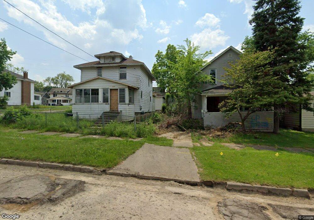
2201 Reid St Flint, MI 48503
Southwest Flint NeighborhoodEstimated Value: $59,000 - $106,000
3
Beds
1
Bath
1,266
Sq Ft
$61/Sq Ft
Est. Value
About This Home
This home is located at 2201 Reid St, Flint, MI 48503 and is currently estimated at $77,193, approximately $60 per square foot. 2201 Reid St is a home located in Genesee County with nearby schools including Eisenhower School, St. Paul Lutheran School, and St John Vianney Catholic School.
Ownership History
Date
Name
Owned For
Owner Type
Purchase Details
Closed on
Oct 23, 2024
Sold by
Genesee County Land Bank Authority
Bought by
Dearmas Rosalba Ramona Alvar
Current Estimated Value
Purchase Details
Closed on
Mar 3, 2013
Sold by
Cook John D
Bought by
Huber Joyce A and Taylor Robert F
Purchase Details
Closed on
Sep 21, 2008
Sold by
Cook John D and Cook Tracie
Bought by
Sussman David J
Create a Home Valuation Report for This Property
The Home Valuation Report is an in-depth analysis detailing your home's value as well as a comparison with similar homes in the area
Home Values in the Area
Average Home Value in this Area
Purchase History
| Date | Buyer | Sale Price | Title Company |
|---|---|---|---|
| Dearmas Rosalba Ramona Alvar | $4,450 | None Listed On Document | |
| Dearmas Rosalba Ramona Alvar | $4,450 | None Listed On Document | |
| Huber Joyce A | -- | None Available | |
| Sussman David J | -- | None Available |
Source: Public Records
Tax History
| Year | Tax Paid | Tax Assessment Tax Assessment Total Assessment is a certain percentage of the fair market value that is determined by local assessors to be the total taxable value of land and additions on the property. | Land | Improvement |
|---|---|---|---|---|
| 2025 | -- | $20,100 | $0 | $0 |
| 2024 | -- | $0 | $0 | $0 |
| 2023 | -- | $0 | $0 | $0 |
| 2022 | $0 | $0 | $0 | $0 |
| 2021 | $0 | $0 | $0 | $0 |
| 2020 | $268 | $0 | $0 | $0 |
| 2019 | $1,062 | $10,400 | $0 | $0 |
| 2018 | $2,235 | $11,000 | $0 | $0 |
| 2017 | $1,319 | $0 | $0 | $0 |
| 2016 | $774 | $0 | $0 | $0 |
| 2015 | -- | $0 | $0 | $0 |
| 2014 | -- | $0 | $0 | $0 |
| 2012 | -- | $14,700 | $0 | $0 |
Source: Public Records
Map
Nearby Homes
- 2124 Swayze St
- 2310 Gibson St
- 2410 Corunna Rd
- 2437 Zimmerman St
- 2433 Brown St
- 2509 Corunna Rd
- 2112 Miller Rd
- 2464 Gibson St
- 1114 Christopher St
- 2537 Swayze St
- 2618 Brown St
- 1820 Chelsea Cir
- 2663 W Court St
- 1555 Bradley Ave
- 932 Bradley Ave
- 2805 Reynolds St
- 2729 Chicago Blvd
- 1114 Clancy Ave
- 612 Bradley Ave
- 911 Hughes Ave
Your Personal Tour Guide
Ask me questions while you tour the home.