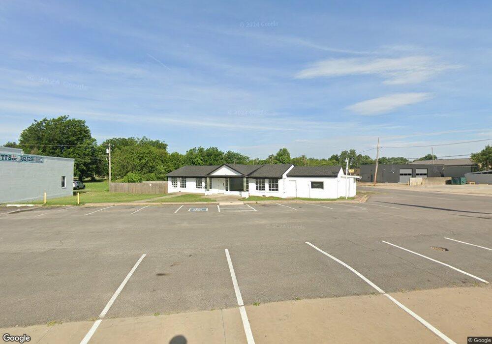
2201 S Air Depot Blvd Midwest City, OK 73110
Estimated Value: $325,313
--
Bed
--
Bath
2,250
Sq Ft
$145/Sq Ft
Est. Value
About This Home
This home is located at 2201 S Air Depot Blvd, Midwest City, OK 73110 and is currently estimated at $325,313, approximately $144 per square foot. 2201 S Air Depot Blvd is a home located in Oklahoma County with nearby schools including Midwest City High School and St Philip Neri School.
Ownership History
Date
Name
Owned For
Owner Type
Purchase Details
Closed on
Jul 22, 2024
Sold by
Air Depot Properties Llc
Bought by
Kingdom Kids Cdc Llc
Current Estimated Value
Home Financials for this Owner
Home Financials are based on the most recent Mortgage that was taken out on this home.
Original Mortgage
$228,000
Outstanding Balance
$221,627
Interest Rate
6.99%
Mortgage Type
New Conventional
Estimated Equity
$103,686
Purchase Details
Closed on
Feb 26, 2021
Sold by
Park Martha and Wulff Kum Son
Bought by
Air Depot Properties Llc
Create a Home Valuation Report for This Property
The Home Valuation Report is an in-depth analysis detailing your home's value as well as a comparison with similar homes in the area
Home Values in the Area
Average Home Value in this Area
Purchase History
| Date | Buyer | Sale Price | Title Company |
|---|---|---|---|
| Kingdom Kids Cdc Llc | $285,000 | Milestone Title Services | |
| Air Depot Properties Llc | $200,000 | Stewart Title Of Ok Inc |
Source: Public Records
Mortgage History
| Date | Status | Borrower | Loan Amount |
|---|---|---|---|
| Open | Kingdom Kids Cdc Llc | $228,000 |
Source: Public Records
Tax History Compared to Growth
Tax History
| Year | Tax Paid | Tax Assessment Tax Assessment Total Assessment is a certain percentage of the fair market value that is determined by local assessors to be the total taxable value of land and additions on the property. | Land | Improvement |
|---|---|---|---|---|
| 2024 | $2,587 | $23,080 | $8,307 | $14,773 |
| 2023 | $2,587 | $21,981 | $11,481 | $10,500 |
| 2022 | $2,564 | $21,981 | $11,481 | $10,500 |
| 2021 | $1,997 | $16,720 | $7,764 | $8,956 |
| 2020 | $1,955 | $15,924 | $7,394 | $8,530 |
| 2019 | $1,782 | $15,166 | $7,042 | $8,124 |
| 2018 | $1,592 | $14,445 | $0 | $0 |
| 2017 | $1,617 | $14,444 | $8,035 | $6,409 |
| 2016 | $1,662 | $14,444 | $8,035 | $6,409 |
| 2015 | $1,731 | $14,444 | $8,035 | $6,409 |
| 2014 | $1,729 | $14,444 | $8,035 | $6,409 |
Source: Public Records
Map
Nearby Homes
- 601 Foster Place
- 608 W Rickenbacker Dr
- 415 W Ercoupe Dr
- 204 W Ercoupe Dr
- 408 W Douglas Dr
- 622 Peppertree Ln
- 518 E Lockheed Dr
- 109 E Northrup Dr
- 516 E Rickenbacker Dr
- 210 E Myrtle Dr
- 616 Procter Place
- 6609 SE 15th St
- 221 E Myrtle Dr
- 202 E Northrup Dr
- 217 E Douglas Dr
- 1613 Sandra Dr
- 1701 Rulane Dr
- 1800 N Mitchell Dr
- 314 E Ercoupe Dr
- 511 N Key Blvd
- 2125 S Air Depot Blvd
- 418 Foster Place
- 2204 S Air Depot Blvd
- 2208 S Air Depot Blvd
- 2212 S Air Depot Blvd
- 2200 S Air Depot Blvd
- 2216 S Air Depot Blvd
- 2128 S Air Depot Blvd
- 420 Foster Place
- 2124 S Air Depot Blvd
- 2220 S Air Depot Blvd
- 422 Foster Place
- 2120 S Air Depot Blvd
- 421 Foster Place
- 702 N Redbud Dr
- 2116 S Air Depot Blvd
- 2224 S Air Depot Blvd
- 704 N Redbud Dr
- 424 Foster Place
- 2112 S Air Depot Blvd