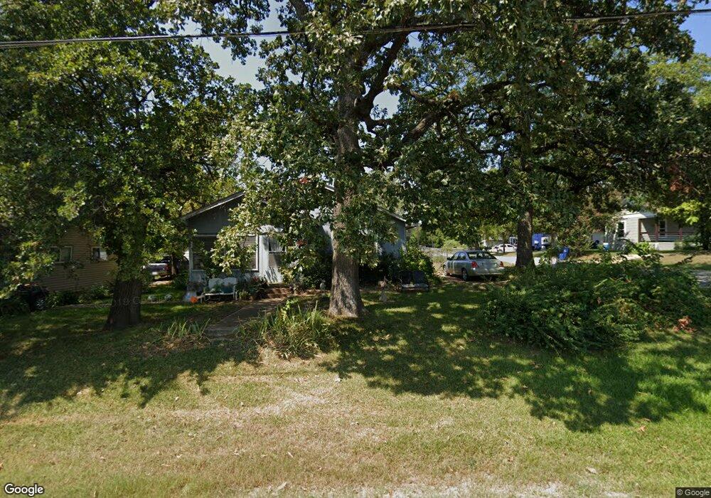
2201 S Scullin Ave Denison, TX 75020
Estimated Value: $179,893 - $239,000
--
Bed
--
Bath
1,462
Sq Ft
$143/Sq Ft
Est. Value
About This Home
This home is located at 2201 S Scullin Ave, Denison, TX 75020 and is currently estimated at $209,447, approximately $143 per square foot. 2201 S Scullin Ave is a home located in Grayson County with nearby schools including Scott Middle School, Denison High School, and St. Luke's Parish Day School.
Ownership History
Date
Name
Owned For
Owner Type
Purchase Details
Closed on
Jun 7, 2023
Sold by
Strike First Properties Llc
Bought by
Coffey Jeffrey P
Current Estimated Value
Purchase Details
Closed on
Mar 2, 2022
Sold by
Rolen Barbara
Bought by
Strike First Properes Llc
Purchase Details
Closed on
Jul 12, 2006
Sold by
Tripp Barbara Rolen
Bought by
Grantland Troy and Grantland Stacey
Create a Home Valuation Report for This Property
The Home Valuation Report is an in-depth analysis detailing your home's value as well as a comparison with similar homes in the area
Home Values in the Area
Average Home Value in this Area
Purchase History
| Date | Buyer | Sale Price | Title Company |
|---|---|---|---|
| Coffey Jeffrey P | -- | None Listed On Document | |
| Strike First Properes Llc | -- | Simplifile | |
| Grantland Troy | -- | None Available |
Source: Public Records
Tax History Compared to Growth
Tax History
| Year | Tax Paid | Tax Assessment Tax Assessment Total Assessment is a certain percentage of the fair market value that is determined by local assessors to be the total taxable value of land and additions on the property. | Land | Improvement |
|---|---|---|---|---|
| 2025 | $3,890 | $166,730 | $37,794 | $128,936 |
| 2024 | $3,890 | $167,425 | $36,096 | $131,329 |
| 2023 | $2,374 | $104,766 | $32,638 | $72,128 |
| 2022 | $1,727 | $72,683 | $0 | $0 |
| 2021 | $1,666 | $66,075 | $12,133 | $53,942 |
| 2020 | $1,619 | $66,422 | $9,100 | $57,322 |
| 2019 | $1,536 | $67,657 | $9,100 | $58,557 |
| 2018 | $1,407 | $52,054 | $5,763 | $46,291 |
| 2017 | $1,290 | $47,000 | $3,215 | $43,785 |
| 2016 | $1,173 | $41,930 | $3,215 | $38,715 |
| 2015 | $310 | $40,274 | $3,215 | $37,059 |
| 2014 | $420 | $38,667 | $1,608 | $37,059 |
Source: Public Records
Map
Nearby Homes
- 1044 W Ford St
- 904 W Florence St
- 930 W Florence St
- 928 W Chase St
- 919 W Collins St
- 923 W Collins St
- 921 W Collins St
- 916 W Collins St
- 616 & 618 Rice St
- 614 Rice St
- 736 W Bullock St
- 505 W Ford St
- 513 W Coffin St
- 508 W Florence St
- 1927 S Fannin Ave
- 614 W Collins St
- 1023 W Bullock St
- 603 W Star St
- 611 W Baker St
- 607 W Baker St
- 2203 S Scullin Ave
- 912 W Ford St
- 903 W Ford St
- 903 W Ford St
- 901 W Florence St
- 907 W Ford St
- 903 W Florence St
- 914 W Ford St
- 905 W Florence St
- 918 W Ford St
- 911 W Ford St
- 907 W Florence St
- 922 W Ford St
- 915 W Ford St
- 919 W Florence St
- 920 W Ford St
- 900 Chase St
- 912 Chase St
- 917 W Ford St
- 921 W Florence St