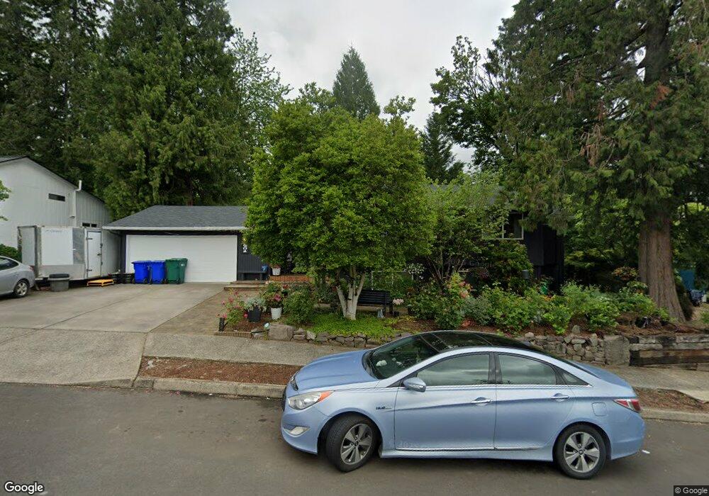
2201 SE Darling Ave Gresham, OR 97080
Gresham Butte NeighborhoodEstimated Value: $624,467 - $659,000
4
Beds
3
Baths
2,876
Sq Ft
$223/Sq Ft
Est. Value
About This Home
This home is located at 2201 SE Darling Ave, Gresham, OR 97080 and is currently estimated at $640,367, approximately $222 per square foot. 2201 SE Darling Ave is a home located in Multnomah County with nearby schools including East Gresham Elementary School, Dexter McCarty Middle School, and Gresham High School.
Ownership History
Date
Name
Owned For
Owner Type
Purchase Details
Closed on
Jun 20, 2006
Sold by
Dupas Ronald R
Bought by
Buchanan Rose M
Current Estimated Value
Home Financials for this Owner
Home Financials are based on the most recent Mortgage that was taken out on this home.
Original Mortgage
$195,000
Outstanding Balance
$113,902
Interest Rate
6.55%
Mortgage Type
Fannie Mae Freddie Mac
Estimated Equity
$526,465
Create a Home Valuation Report for This Property
The Home Valuation Report is an in-depth analysis detailing your home's value as well as a comparison with similar homes in the area
Home Values in the Area
Average Home Value in this Area
Purchase History
| Date | Buyer | Sale Price | Title Company |
|---|---|---|---|
| Buchanan Rose M | $345,300 | Ticor Title Insurance Compan |
Source: Public Records
Mortgage History
| Date | Status | Borrower | Loan Amount |
|---|---|---|---|
| Open | Buchanan Rose M | $195,000 |
Source: Public Records
Tax History
| Year | Tax Paid | Tax Assessment Tax Assessment Total Assessment is a certain percentage of the fair market value that is determined by local assessors to be the total taxable value of land and additions on the property. | Land | Improvement |
|---|---|---|---|---|
| 2025 | $6,696 | $329,030 | -- | -- |
| 2024 | $6,409 | $319,450 | -- | -- |
| 2023 | $5,839 | $310,150 | $0 | $0 |
| 2022 | $5,676 | $301,120 | $0 | $0 |
| 2021 | $5,533 | $292,350 | $0 | $0 |
| 2020 | $5,206 | $283,840 | $0 | $0 |
| 2019 | $5,070 | $275,580 | $0 | $0 |
| 2018 | $4,834 | $267,560 | $0 | $0 |
| 2017 | $4,638 | $259,770 | $0 | $0 |
| 2016 | $4,089 | $252,210 | $0 | $0 |
Source: Public Records
Map
Nearby Homes
- 2074 SE Linden Place
- 2573 SE Morlan Way
- 2581 SE Morlan Way
- 1918 SE Regner Rd
- 2440 SE Regner Rd
- 2672 SE Vista Way
- 1691 SE Cedar Creek Place
- 1495 SE Evelyn Ct
- 242 SE 29th St
- 2925 SE Cleveland Dr
- 511 SE 15th St
- 1407 SE Beech Place
- 0 SW Miller Ct Unit 470855683
- 2125 SE 18th Aly
- 55 SW Lovhar Dr
- 2170 SE 16th St
- 2137 SE 15th Aly
- 2220 SE 16th St
- 2240 SE 16th St
- 2363 SE 17th Aly
- 2177 SE Darling Ave
- 2210 SE Regner Rd
- 2227 SE Darling Ave
- 2157 SE Darling Ave
- 2102 SE Cleveland Ave
- 2238 SE Darling Ave
- 2230 SE Regner Rd
- 2258 SE Darling Ave
- 2237 SE Darling Ave
- 2208 SE Darling Ave
- 2288 SE Darling Ave
- 2193 SE Cleveland Ave
- 2096 SE Linden Place
- 2298 SE Darling Ave
- 2267 SE Darling Ave
- 2150 SE Elliott Place
- 903 SE Phoebe Ct
- 929 SE Phoebe Ct
- 2058 SE Linden Place
- 2223 SE Cleveland Ave
Your Personal Tour Guide
Ask me questions while you tour the home.