2201 State Route 222 Bethel, OH 45106
Estimated Value: $431,000 - $633,000
3
Beds
3
Baths
1,936
Sq Ft
$257/Sq Ft
Est. Value
About This Home
This home is located at 2201 State Route 222, Bethel, OH 45106 and is currently estimated at $498,401, approximately $257 per square foot. 2201 State Route 222 is a home located in Clermont County with nearby schools including Bick Primary Elementary School, Hill Intermediate Elementary School, and Bethel-Tate Middle School.
Ownership History
Date
Name
Owned For
Owner Type
Purchase Details
Closed on
Jul 30, 2010
Sold by
Hart Robert S and Hart Victoria L
Bought by
Siereveld Jeffrey C and Siereveld Christine C
Current Estimated Value
Home Financials for this Owner
Home Financials are based on the most recent Mortgage that was taken out on this home.
Original Mortgage
$95,000
Interest Rate
4.18%
Mortgage Type
Purchase Money Mortgage
Purchase Details
Closed on
Aug 31, 2005
Sold by
Bloomfield Deborah S and Bloomfield Mark
Bought by
Hart Robert S
Home Financials for this Owner
Home Financials are based on the most recent Mortgage that was taken out on this home.
Original Mortgage
$155,000
Interest Rate
5.93%
Mortgage Type
Purchase Money Mortgage
Purchase Details
Closed on
Jun 2, 1984
Create a Home Valuation Report for This Property
The Home Valuation Report is an in-depth analysis detailing your home's value as well as a comparison with similar homes in the area
Home Values in the Area
Average Home Value in this Area
Purchase History
| Date | Buyer | Sale Price | Title Company |
|---|---|---|---|
| Siereveld Jeffrey C | $265,000 | Stewart Title Company | |
| Hart Robert S | -- | -- | |
| -- | $20,000 | -- |
Source: Public Records
Mortgage History
| Date | Status | Borrower | Loan Amount |
|---|---|---|---|
| Closed | Siereveld Jeffrey C | $95,000 | |
| Previous Owner | Hart Robert S | $155,000 |
Source: Public Records
Tax History Compared to Growth
Tax History
| Year | Tax Paid | Tax Assessment Tax Assessment Total Assessment is a certain percentage of the fair market value that is determined by local assessors to be the total taxable value of land and additions on the property. | Land | Improvement |
|---|---|---|---|---|
| 2024 | $4,469 | $109,830 | $36,190 | $73,640 |
| 2023 | $4,507 | $109,830 | $36,190 | $73,640 |
| 2022 | $3,671 | $82,540 | $26,500 | $56,040 |
| 2021 | $3,710 | $82,540 | $26,500 | $56,040 |
| 2020 | $3,538 | $82,540 | $26,500 | $56,040 |
| 2019 | $3,875 | $85,860 | $24,290 | $61,570 |
| 2018 | $3,979 | $85,860 | $24,290 | $61,570 |
| 2017 | $3,493 | $85,860 | $24,290 | $61,570 |
| 2016 | $3,585 | $72,140 | $20,410 | $51,730 |
| 2015 | $2,977 | $72,140 | $20,410 | $51,730 |
| 2014 | $2,977 | $72,140 | $20,410 | $51,730 |
| 2013 | $2,917 | $70,630 | $23,030 | $47,600 |
Source: Public Records
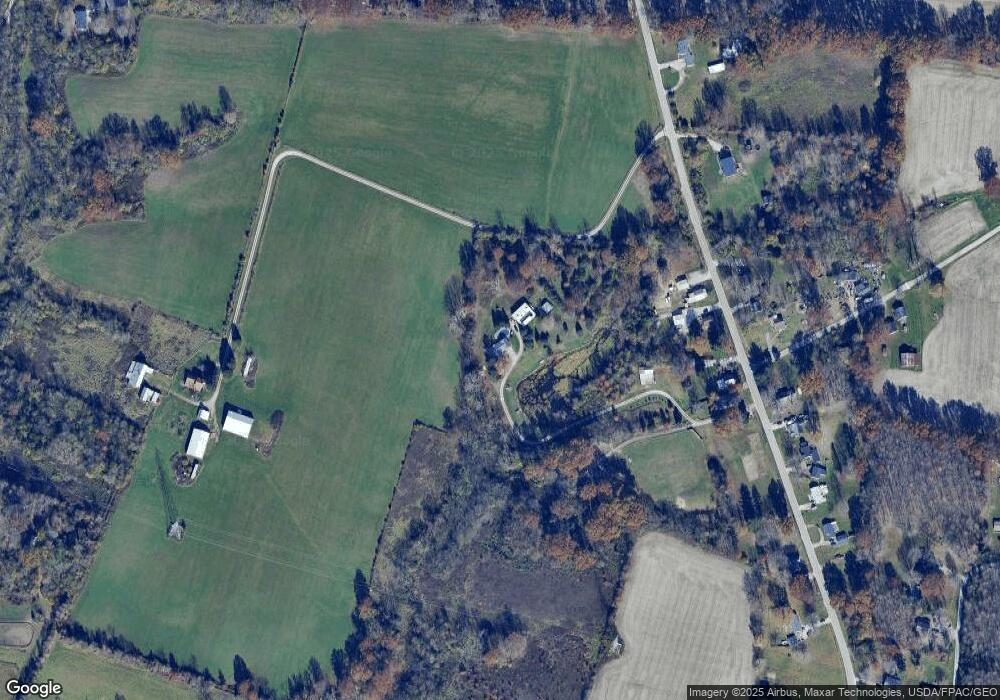
Map
Nearby Homes
- 2232 Ohio 222
- 2203 Meisman Ln
- 1459 Ginn Rd
- 2655 Harry A Hill Dr
- 2123 Josephs Run Rd
- 2639 E Amelia Farms Rd
- 2363 Crane Schoolhouse Rd
- ac Laurel-Point Isabel Rd
- 2791 S Bantam Rd
- 2130 Ohio 133
- 2089 Ohio 133
- Goodwin Schoolhouse Point Isabel Rd
- 2339 Laurel Lindale Rd
- 1847 Carnes Rd
- 2721 Ohio 232
- 2572 Poplar Ridge Dr
- 314 Faith Way
- 720 W Plane St
- 140 Clark St
- 0 Tomahawk Trail Unit 1855028
- 2201 State Route 222
- 2207 State Route 222
- 2195 State Route 222
- 2195 State Route 222
- 2199 State Route 222
- 2208 State Route 222
- 2208 State Route 222
- 2204 State Route 222
- 2205 State Route 222
- 2205 State Route 222
- 2554 Saltair Maple Rd
- 2197 State Route 222
- 2196 State Route 222
- 2226 St Rt 222
- 2192 State Route 222
- 2192 State Route 222
- 2226 State Route 222
- 2190 State Route 222
- 2564 Saltair Maple Rd
- 2186 State Route 222