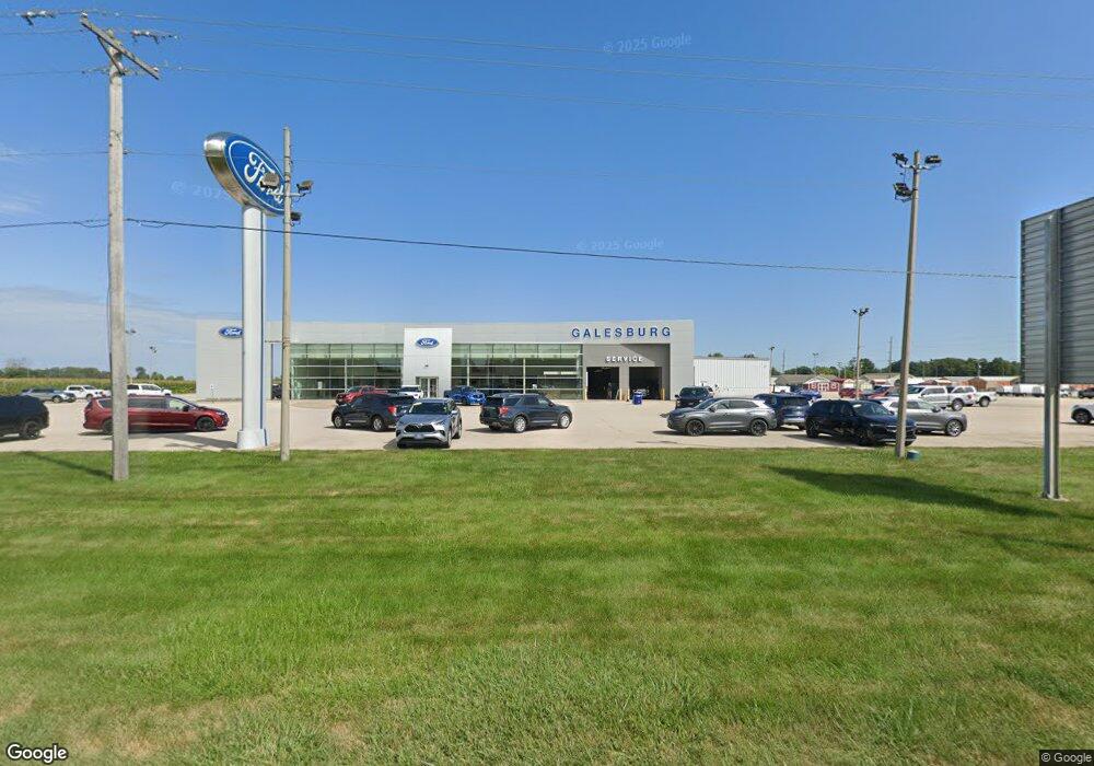
2201 W Main St Galesburg, IL 61401
Estimated Value: $4,321,620
--
Bed
--
Bath
--
Sq Ft
8.28
Acres
About This Home
This home is located at 2201 W Main St, Galesburg, IL 61401 and is currently estimated at $4,321,620. 2201 W Main St is a home located in Knox County with nearby schools including Steele School, Lombard Middle School, and Galesburg Junior Senior High School.
Ownership History
Date
Name
Owned For
Owner Type
Purchase Details
Closed on
Oct 29, 2021
Sold by
Ky Properties Llc
Bought by
Burg Gt Llc
Current Estimated Value
Home Financials for this Owner
Home Financials are based on the most recent Mortgage that was taken out on this home.
Original Mortgage
$2,808,817
Outstanding Balance
$2,564,345
Interest Rate
2.88%
Mortgage Type
Construction
Estimated Equity
$1,757,275
Purchase Details
Closed on
Jun 6, 2013
Sold by
Lakis Dealership Land Trust
Bought by
Ky Properties Llc
Create a Home Valuation Report for This Property
The Home Valuation Report is an in-depth analysis detailing your home's value as well as a comparison with similar homes in the area
Home Values in the Area
Average Home Value in this Area
Purchase History
| Date | Buyer | Sale Price | Title Company |
|---|---|---|---|
| Burg Gt Llc | $3,500,000 | Attorney Only | |
| Ky Properties Llc | -- | Attorney Only |
Source: Public Records
Mortgage History
| Date | Status | Borrower | Loan Amount |
|---|---|---|---|
| Open | Burg Gt Llc | $2,808,817 |
Source: Public Records
Tax History Compared to Growth
Tax History
| Year | Tax Paid | Tax Assessment Tax Assessment Total Assessment is a certain percentage of the fair market value that is determined by local assessors to be the total taxable value of land and additions on the property. | Land | Improvement |
|---|---|---|---|---|
| 2024 | $118,504 | $1,277,220 | $124,070 | $1,153,150 |
| 2023 | $118,504 | $1,236,660 | $120,130 | $1,116,530 |
| 2022 | $117,202 | $1,236,660 | $120,130 | $1,116,530 |
| 2021 | $59,352 | $609,930 | $43,620 | $566,310 |
| 2020 | $60,321 | $609,930 | $43,620 | $566,310 |
| 2019 | $60,804 | $609,930 | $43,620 | $566,310 |
| 2018 | $58,831 | $592,170 | $42,350 | $549,820 |
| 2017 | $59,327 | $592,170 | $42,350 | $549,820 |
| 2015 | -- | $369,350 | $41,720 | $327,630 |
| 2013 | $31,198 | $333,500 | $42,140 | $291,360 |
Source: Public Records
Map
Nearby Homes
- 1589 W Water St
- 2049 W Losey St
- 400 BLK S Linwood Rd
- 1278 W Grove St
- 98 Dieterich Ave
- 1286 W Losey St
- 1450 Bridge Ave
- 1501 Bridge Ave
- 349 Hawkinson Ave
- 1033 Sweetbriar Place
- 1030 W Berrien St
- 943 Hawkinson Ave
- 705 Olive St
- 1144 Court St
- 78 Garfield Ave
- 380 Maple Ave
- 668 Harvey St
- 1064 Monroe St
- 852 Maple Ave
- 559 Clark St
- 85 N Linwood Rd
- 000 W Main St
- 35 N Linwood Rd Unit Lot 1 of 7
- 35 N Linwood Rd Unit Lt 3 of 9
- 35 N Linwood Rd
- 2337 W Main St
- 300 N Linwood Rd
- 261 N Linwood Rd Unit 101
- 1838 W Main St
- 300 Kings Canyon Blvd
- 1801 W Main St
- 1800 W Main St
- 432 N Linwood Rd
- 384 Isle Royale Rd
- 320 Kings Canyon Blvd
- 392 Isle Royale Rd
- 290 Isle Royale Rd
- 280 Isle Royale Rd
- 404 Isle Royale Rd
- 1776 W North St