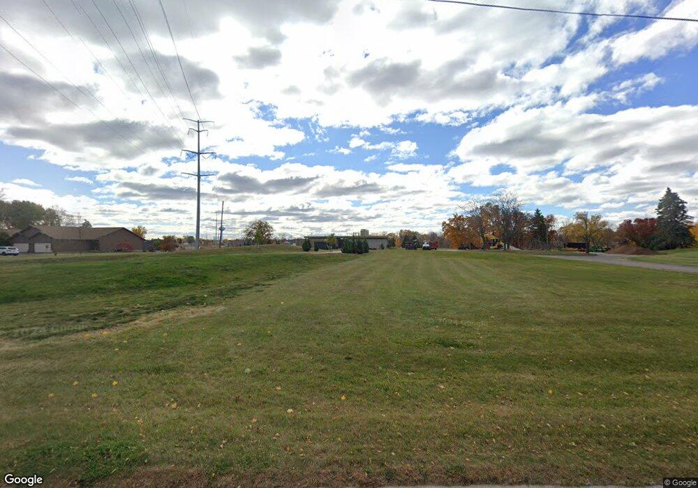
2201 W Main St Little Chute, WI 54911
Estimated Value: $487,000 - $752,565
--
Bed
--
Bath
--
Sq Ft
1.21
Acres
About This Home
This home is located at 2201 W Main St, Little Chute, WI 54911 and is currently estimated at $604,522. 2201 W Main St is a home located in Outagamie County with nearby schools including Little Chute Elementary School, Little Chute Middle School, and Little Chute Intermediate School.
Ownership History
Date
Name
Owned For
Owner Type
Purchase Details
Closed on
Apr 19, 2016
Sold by
Solberg David A and Solberg Lisa M
Bought by
Hermsen Jeff and Hermsen Deborah L
Current Estimated Value
Purchase Details
Closed on
Apr 15, 2016
Sold by
Solberg David A
Bought by
Hermsen Jeff and Hermsen Deborah L
Purchase Details
Closed on
Aug 6, 2012
Sold by
Solberg Lisa M
Bought by
Solberg Lisa M
Purchase Details
Closed on
Sep 20, 2010
Sold by
Mullen Illa M
Bought by
Solberg David A and Solberg Lisa M
Create a Home Valuation Report for This Property
The Home Valuation Report is an in-depth analysis detailing your home's value as well as a comparison with similar homes in the area
Home Values in the Area
Average Home Value in this Area
Purchase History
| Date | Buyer | Sale Price | Title Company |
|---|---|---|---|
| Hermsen Jeff | $110,000 | -- | |
| Hermsen Jeff | $110,000 | -- | |
| Hermsen Jeff | $110,000 | -- | |
| Solberg Lisa M | $145,000 | -- | |
| Solberg David A | $150,000 | -- |
Source: Public Records
Tax History Compared to Growth
Tax History
| Year | Tax Paid | Tax Assessment Tax Assessment Total Assessment is a certain percentage of the fair market value that is determined by local assessors to be the total taxable value of land and additions on the property. | Land | Improvement |
|---|---|---|---|---|
| 2023 | $9,816 | $547,600 | $118,900 | $428,700 |
| 2022 | $9,489 | $547,600 | $118,900 | $428,700 |
| 2021 | $9,437 | $547,600 | $118,900 | $428,700 |
| 2020 | $9,444 | $438,300 | $97,800 | $340,500 |
| 2019 | $9,453 | $438,300 | $97,800 | $340,500 |
| 2018 | $9,655 | $438,300 | $97,800 | $340,500 |
| 2017 | $7,494 | $363,300 | $97,800 | $265,500 |
| 2016 | $2,054 | $97,800 | $97,800 | $0 |
| 2015 | $2,088 | $97,800 | $97,800 | $0 |
| 2014 | $2,010 | $97,800 | $97,800 | $0 |
| 2013 | $2,930 | $132,500 | $132,500 | $0 |
Source: Public Records
Map
Nearby Homes
- 450 Rivers Edge Dr
- 460 Rivers Edge Dr
- 0 Rivers Edge Dr
- 493 Papermill Cir
- 481 Papermill Cir
- 491 Papermill Cir
- 489 Papermill Cir
- 483 Papermill Cir
- 485 Papermill Cir
- 487 Papermill Cir
- 201 Rivers Edge Dr
- 322 W Maes Ave
- 414 W Maes Ave
- 39 E Fox Point Dr
- 232 N Main St
- 147 N John St
- 307 Red Cedar Pkwy
- 122 W Kimberly Ave
- 211 Red Cedar Pkwy
- 122 Louise St
- 2201 W Main St
- 2201 W Main St
- 2200 W Main St
- 1936 W Main St
- 1901 W Main St
- 1881 W Main St
- 2122 W Main St
- 2100 W Main St
- 2100 W Main St
- 2021 W Main St
- 2031 W Main St
- 2330 W Main St
- 2125 2125 W Main St
- 2125 W Main St
- 1861 W Main St
- 2130 W Main St
- 2101 W Main St Unit D
- 2101 W Main St Unit C
- 2101 W Main St Unit B
- 2101 W Main St Unit A
