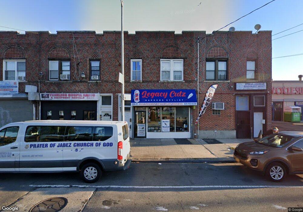
22011 Merrick Blvd Laurelton, NY 11413
Laurelton NeighborhoodEstimated Value: $602,893
--
Bed
--
Bath
2,800
Sq Ft
$215/Sq Ft
Est. Value
About This Home
This home is located at 22011 Merrick Blvd, Laurelton, NY 11413 and is currently estimated at $602,893, approximately $215 per square foot. 22011 Merrick Blvd is a home located in Queens County with nearby schools including P.S. 132 - Ralph Bunche and Is 59 Springfield Gardens.
Ownership History
Date
Name
Owned For
Owner Type
Purchase Details
Closed on
Feb 26, 2021
Sold by
Jrmj Llc
Bought by
M & A Realty Ventures Llc
Current Estimated Value
Purchase Details
Closed on
Mar 9, 2009
Sold by
Estate Of Esther Carrie
Bought by
Jrmj Llc
Home Financials for this Owner
Home Financials are based on the most recent Mortgage that was taken out on this home.
Original Mortgage
$130,000
Interest Rate
5.14%
Mortgage Type
Commercial
Create a Home Valuation Report for This Property
The Home Valuation Report is an in-depth analysis detailing your home's value as well as a comparison with similar homes in the area
Home Values in the Area
Average Home Value in this Area
Purchase History
| Date | Buyer | Sale Price | Title Company |
|---|---|---|---|
| M & A Realty Ventures Llc | $560,000 | -- | |
| Jrmj Llc | $200,000 | -- |
Source: Public Records
Mortgage History
| Date | Status | Borrower | Loan Amount |
|---|---|---|---|
| Previous Owner | Jrmj Llc | $130,000 |
Source: Public Records
Tax History Compared to Growth
Tax History
| Year | Tax Paid | Tax Assessment Tax Assessment Total Assessment is a certain percentage of the fair market value that is determined by local assessors to be the total taxable value of land and additions on the property. | Land | Improvement |
|---|---|---|---|---|
| 2025 | $4,911 | $25,264 | $3,110 | $22,154 |
| 2024 | $4,911 | $24,452 | $3,374 | $21,078 |
| 2023 | $4,685 | $23,069 | $2,893 | $20,176 |
| 2022 | $4,571 | $47,160 | $6,780 | $40,380 |
| 2021 | $4,696 | $40,380 | $6,780 | $33,600 |
| 2020 | $4,456 | $25,560 | $6,780 | $18,780 |
| 2019 | $4,263 | $22,200 | $6,780 | $15,420 |
| 2018 | $3,919 | $19,224 | $4,994 | $14,230 |
| 2017 | $3,889 | $19,080 | $5,284 | $13,796 |
| 2016 | $3,718 | $19,080 | $5,284 | $13,796 |
| 2015 | $2,171 | $17,544 | $6,044 | $11,500 |
| 2014 | $2,171 | $16,981 | $6,291 | $10,690 |
Source: Public Records
Map
Nearby Homes
- 133-15 220th St
- 134-15 221st St
- 218-36 133rd Rd
- 220-24 134th Rd
- 22019 135th Ave
- 223-12 134th Rd
- 13512 223rd St
- 22111 136th Ave
- 136-3 220th St
- 21608 Merrick Blvd
- 133-23 225th St
- 136-18 221st St
- 13538 223rd St
- 133-22 226th St
- 21611 135th Ave
- 136-29 220th Place
- 131-20 224th St
- 22310 131st Ave
- 21924 130th Dr
- 22023 137th Ave
- 220-11 Merrick Blvd
- 22013 Merrick Blvd
- 22009 Merrick Blvd
- 22007 Merrick Blvd
- 220-05 Merrick Blvd
- 22017 Merrick Blvd
- 22005 Merrick Blvd
- 13328 221st St
- 13328 221st St
- 13325 220th St
- 13333 220th St
- 22001 Merrick Blvd
- 13324 221st St
- 220-07 Merrick Blvd
- 13321 220th St
- 13320 221st St
- 220-20 Merrick Blvd
- 22024 Merrick Blvd
- 22024 Merrick Blvd
- 22024 Merrick Blvd Unit 2