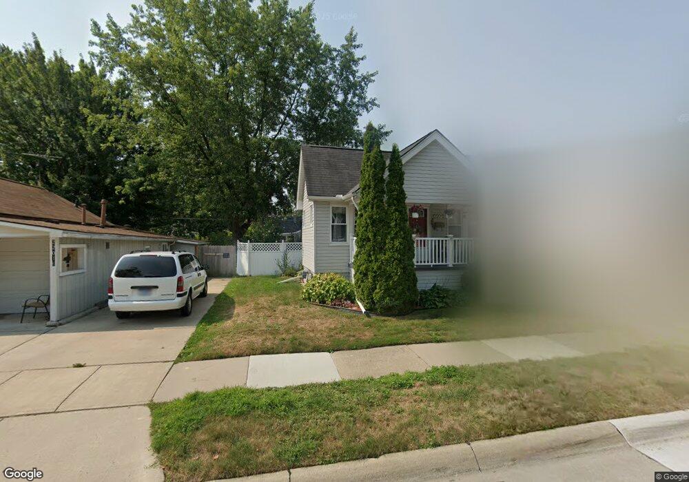
22012 Rosedale St Saint Clair Shores, MI 48080
Estimated Value: $212,000 - $244,000
3
Beds
2
Baths
1,092
Sq Ft
$205/Sq Ft
Est. Value
About This Home
This home is located at 22012 Rosedale St, Saint Clair Shores, MI 48080 and is currently estimated at $224,144, approximately $205 per square foot. 22012 Rosedale St is a home located in Macomb County with nearby schools including South Lake Middle School, South Lake High School, and St. Joan of Arc Elementary School.
Ownership History
Date
Name
Owned For
Owner Type
Purchase Details
Closed on
Jun 18, 2009
Sold by
Anderson Stephen and Anderson Laura P
Bought by
King Robert J
Current Estimated Value
Home Financials for this Owner
Home Financials are based on the most recent Mortgage that was taken out on this home.
Original Mortgage
$87,387
Outstanding Balance
$55,658
Interest Rate
4.92%
Mortgage Type
FHA
Estimated Equity
$168,486
Purchase Details
Closed on
Aug 23, 2002
Sold by
Maher Ronald E
Bought by
Anderson Stephen
Create a Home Valuation Report for This Property
The Home Valuation Report is an in-depth analysis detailing your home's value as well as a comparison with similar homes in the area
Home Values in the Area
Average Home Value in this Area
Purchase History
| Date | Buyer | Sale Price | Title Company |
|---|---|---|---|
| King Robert J | $89,000 | Abstract Title Agency | |
| Anderson Stephen | $115,000 | -- |
Source: Public Records
Mortgage History
| Date | Status | Borrower | Loan Amount |
|---|---|---|---|
| Open | King Robert J | $87,387 | |
| Closed | Anderson Stephen | -- |
Source: Public Records
Tax History Compared to Growth
Tax History
| Year | Tax Paid | Tax Assessment Tax Assessment Total Assessment is a certain percentage of the fair market value that is determined by local assessors to be the total taxable value of land and additions on the property. | Land | Improvement |
|---|---|---|---|---|
| 2025 | $2,204 | $96,500 | $0 | $0 |
| 2024 | $2,204 | $91,800 | $0 | $0 |
| 2023 | $2,098 | $82,900 | $0 | $0 |
| 2022 | $1,948 | $78,400 | $0 | $0 |
| 2021 | $2,040 | $72,000 | $0 | $0 |
| 2020 | $2,048 | $69,000 | $0 | $0 |
| 2019 | $1,724 | $61,300 | $0 | $0 |
| 2018 | $1,925 | $45,800 | $0 | $0 |
| 2017 | $1,859 | $44,700 | $6,000 | $38,700 |
| 2016 | $1,724 | $44,700 | $0 | $0 |
| 2015 | $1,692 | $38,000 | $0 | $0 |
| 2012 | -- | $32,900 | $7,100 | $25,800 |
Source: Public Records
Map
Nearby Homes
- 22026 Alger St
- 22109 Alger St
- 22035 Sunnyside St
- 21835 Alger St
- 22306 Alger St
- 22305 Alger St
- 21715 Alger St
- 22401 Alger St
- 22141 Edmunton St
- 21751 Edmunton St
- 22121 Englehardt St
- 22525 E 8 Mile Rd
- 1846 Aline Dr
- 20690 California St
- 21640 Chalon St
- 20608 Rosedale St
- 20615 California St
- 22730 Sunnyside St
- 1607 Yorktown St
- 22710 Carolina St
- 22010 Rosedale St
- 22016 Rosedale St
- 22006 Rosedale St
- 22009 Avalon St
- 22002 Rosedale St
- 22018 Rosedale St
- 22020 Rosedale St
- 22005 Avalon St
- 22017 Avalon St
- 21936 Rosedale St
- 22013 Rosedale St
- 22017 Rosedale St
- 22001 Avalon St
- 22026 Rosedale St
- 22007 Rosedale St
- 22003 Rosedale St
- 22021 Rosedale St
- 21932 Rosedale St
- 21937 Rosedale St
- 21931 Avalon St