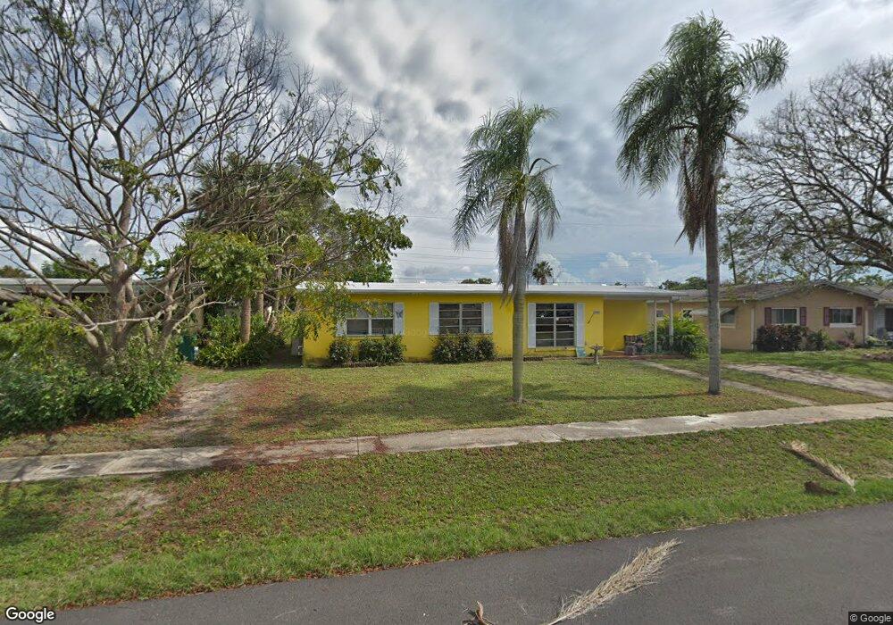
22017 Felton Ave Port Charlotte, FL 33952
Estimated Value: $179,146 - $236,000
2
Beds
1
Bath
1,253
Sq Ft
$159/Sq Ft
Est. Value
About This Home
This home is located at 22017 Felton Ave, Port Charlotte, FL 33952 and is currently estimated at $199,787, approximately $159 per square foot. 22017 Felton Ave is a home located in Charlotte County with nearby schools including Neil Armstrong Elementary School, Port Charlotte Middle School, and Charlotte High School.
Ownership History
Date
Name
Owned For
Owner Type
Purchase Details
Closed on
Dec 30, 2019
Sold by
Casias Michael R and Casias Mary
Bought by
Casias Mary
Current Estimated Value
Purchase Details
Closed on
Feb 20, 2003
Sold by
Jones Michael K and Jones Chin S
Bought by
Casias Michael R and Casias Mary
Home Financials for this Owner
Home Financials are based on the most recent Mortgage that was taken out on this home.
Original Mortgage
$62,400
Interest Rate
5.89%
Purchase Details
Closed on
Aug 21, 1998
Sold by
Jones Raymond B and Jones Bernice A
Bought by
Jones Michael K and Jones Chin S
Create a Home Valuation Report for This Property
The Home Valuation Report is an in-depth analysis detailing your home's value as well as a comparison with similar homes in the area
Home Values in the Area
Average Home Value in this Area
Purchase History
| Date | Buyer | Sale Price | Title Company |
|---|---|---|---|
| Casias Mary | -- | None Available | |
| Casias Michael R | $78,000 | -- | |
| Jones Michael K | -- | -- |
Source: Public Records
Mortgage History
| Date | Status | Borrower | Loan Amount |
|---|---|---|---|
| Previous Owner | Casias Michael R | $62,400 |
Source: Public Records
Tax History Compared to Growth
Tax History
| Year | Tax Paid | Tax Assessment Tax Assessment Total Assessment is a certain percentage of the fair market value that is determined by local assessors to be the total taxable value of land and additions on the property. | Land | Improvement |
|---|---|---|---|---|
| 2023 | $1,283 | $75,730 | $0 | $0 |
| 2022 | $1,234 | $74,836 | $0 | $0 |
| 2021 | $1,811 | $94,379 | $0 | $0 |
| 2020 | $1,914 | $76,941 | $4,505 | $72,436 |
| 2019 | $1,867 | $76,966 | $5,015 | $71,951 |
| 2018 | $925 | $53,621 | $0 | $0 |
| 2017 | $869 | $44,389 | $0 | $0 |
| 2016 | $638 | $32,957 | $0 | $0 |
| 2015 | $613 | $32,728 | $0 | $0 |
| 2014 | $589 | $32,468 | $0 | $0 |
Source: Public Records
Map
Nearby Homes
- 22201 Olean Blvd
- 21904 Beverly Ave
- 22217 Olean Blvd
- 22011 Catherine Ave
- 22247 Augusta Ave
- 21536 Holdern Ave
- 2368 Starlite Ln
- 22198 Felton Ave
- 22220 & 22228 Lockport Ave
- 22147 Catherine Ave
- 22237 Lockport Ave
- 21448 Kenyon Ave
- 22348 Olean Blvd
- 21962 Cellini Ave
- 22271 Morris Ave
- 22194 Catherine Ave
- 3155 Key Ln
- 21455 Mallory Ave
- 2309 Conway Blvd
- 3124 Crestwood Dr
- 22009 Felton Ave
- 22025 Felton Ave
- 2565 Starlite Ln
- 2573 Starlite Ln
- 2557 Starlite Ln
- 22016 Felton Ave
- 22031 Felton Ave
- 22001 Felton Ave
- 22024 Felton Ave
- 22008 Felton Ave
- 2549 Starlite Ln
- 2581 Starlite Ln
- 22032 Felton Ave
- 22000 Felton Ave
- 22041 Felton Ave
- 2541 Starlite Ln
- 22017 Beverly Ave
- 22009 Beverly Ave
- 22025 Beverly Ave
- 22040 Felton Ave