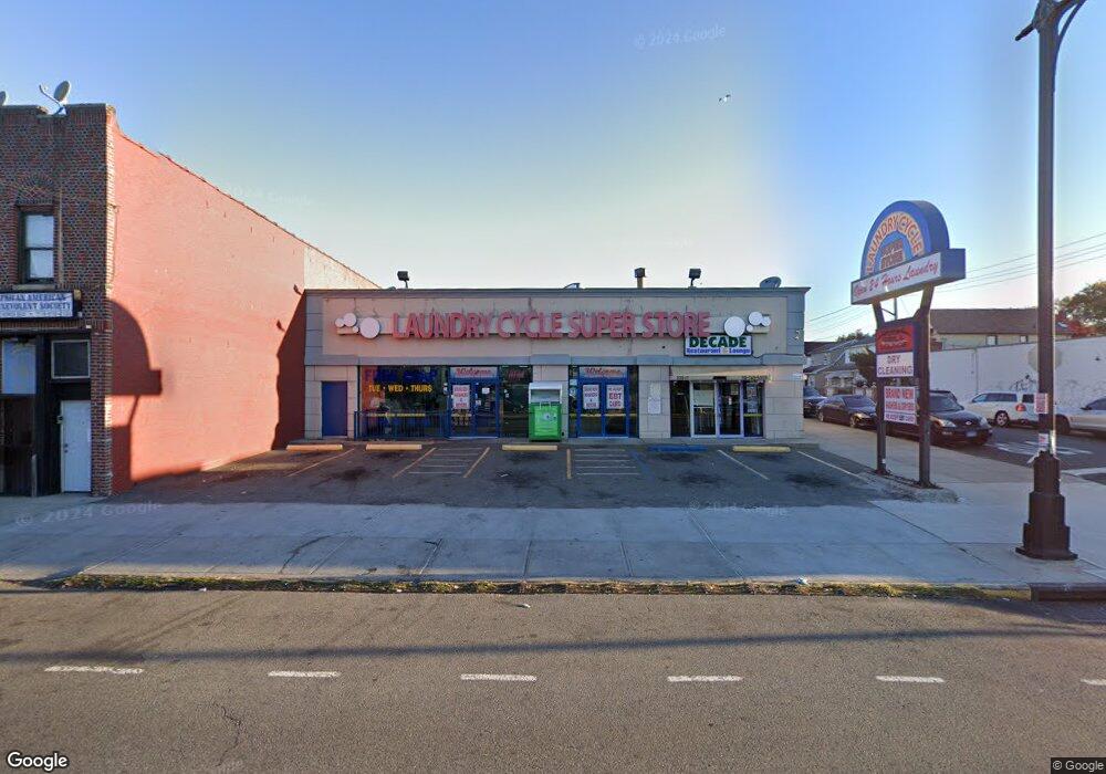
22017 Merrick Blvd Laurelton, NY 11413
Laurelton NeighborhoodEstimated Value: $1,167,312
--
Bed
--
Bath
4,200
Sq Ft
$278/Sq Ft
Est. Value
About This Home
This home is located at 22017 Merrick Blvd, Laurelton, NY 11413 and is currently estimated at $1,167,312, approximately $277 per square foot. 22017 Merrick Blvd is a home located in Queens County with nearby schools including P.S. 132 - Ralph Bunche and Is 59 Springfield Gardens.
Ownership History
Date
Name
Owned For
Owner Type
Purchase Details
Closed on
Jul 26, 2005
Sold by
Lindsay Colin L and Lindsay Effiegean E
Bought by
220-17 Merrick Llc
Current Estimated Value
Home Financials for this Owner
Home Financials are based on the most recent Mortgage that was taken out on this home.
Original Mortgage
$260,000
Interest Rate
5.54%
Mortgage Type
Commercial
Create a Home Valuation Report for This Property
The Home Valuation Report is an in-depth analysis detailing your home's value as well as a comparison with similar homes in the area
Home Values in the Area
Average Home Value in this Area
Purchase History
| Date | Buyer | Sale Price | Title Company |
|---|---|---|---|
| 220-17 Merrick Llc | $700,000 | -- | |
| 220-17 Merrick Llc | $700,000 | -- |
Source: Public Records
Mortgage History
| Date | Status | Borrower | Loan Amount |
|---|---|---|---|
| Previous Owner | 220-17 Merrick Llc | $260,000 |
Source: Public Records
Tax History Compared to Growth
Tax History
| Year | Tax Paid | Tax Assessment Tax Assessment Total Assessment is a certain percentage of the fair market value that is determined by local assessors to be the total taxable value of land and additions on the property. | Land | Improvement |
|---|---|---|---|---|
| 2025 | $34,556 | $320,220 | $131,850 | $188,370 |
| 2024 | $34,556 | $326,250 | $131,850 | $194,400 |
| 2023 | $33,603 | $317,250 | $131,850 | $185,400 |
| 2022 | $32,765 | $304,650 | $131,850 | $172,800 |
| 2021 | $31,328 | $292,950 | $131,850 | $161,100 |
| 2020 | $33,286 | $377,550 | $131,850 | $245,700 |
| 2019 | $30,545 | $331,200 | $131,850 | $199,350 |
| 2018 | $28,416 | $270,270 | $131,850 | $138,420 |
| 2017 | $27,030 | $257,090 | $131,850 | $125,240 |
| 2016 | $26,223 | $257,090 | $131,850 | $125,240 |
| 2015 | $18,571 | $244,576 | $131,850 | $112,726 |
| 2014 | $18,571 | $229,636 | $129,240 | $100,396 |
Source: Public Records
Map
Nearby Homes
- 133-15 220th St
- 134-15 221st St
- 218-36 133rd Rd
- 220-24 134th Rd
- 22019 135th Ave
- 223-12 134th Rd
- 13512 223rd St
- 22111 136th Ave
- 136-3 220th St
- 21608 Merrick Blvd
- 133-23 225th St
- 136-18 221st St
- 13538 223rd St
- 133-22 226th St
- 21611 135th Ave
- 136-29 220th Place
- 131-20 224th St
- 22310 131st Ave
- 21924 130th Dr
- 22023 137th Ave
- 22013 Merrick Blvd
- 13328 221st St
- 13328 221st St
- 220-11 Merrick Blvd
- 22011 Merrick Blvd
- 22009 Merrick Blvd
- 13324 221st St
- 22007 Merrick Blvd
- 220-05 Merrick Blvd
- 22005 Merrick Blvd
- 13325 220th St
- 13320 221st St
- 13333 220th St
- 13327 221st St
- 13323 221st St
- 22001 Merrick Blvd
- 13321 220th St
- 13316 221st St
- 13316 221st St
- 13316 221st St