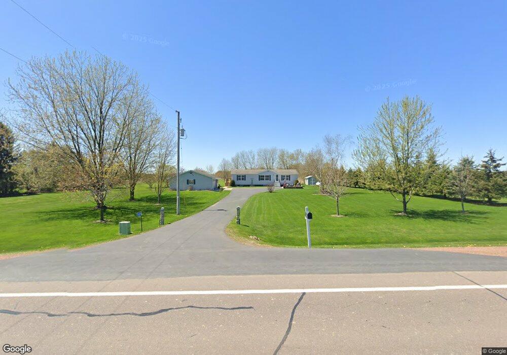
220170 State Highway 107 Marathon, WI 54448
Estimated Value: $284,970 - $389,000
--
Bed
--
Bath
--
Sq Ft
1.71
Acres
About This Home
This home is located at 220170 State Highway 107, Marathon, WI 54448 and is currently estimated at $359,493. 220170 State Highway 107 is a home located in Marathon County with nearby schools including Marathon Elementary School, Marathon High School, and Marathon Venture Academy.
Ownership History
Date
Name
Owned For
Owner Type
Purchase Details
Closed on
Sep 13, 2019
Sold by
Matushak Patrick L
Bought by
Matushak Patrick L and Smith Angela S
Current Estimated Value
Home Financials for this Owner
Home Financials are based on the most recent Mortgage that was taken out on this home.
Original Mortgage
$117,300
Outstanding Balance
$102,534
Interest Rate
3.5%
Mortgage Type
New Conventional
Estimated Equity
$256,959
Create a Home Valuation Report for This Property
The Home Valuation Report is an in-depth analysis detailing your home's value as well as a comparison with similar homes in the area
Home Values in the Area
Average Home Value in this Area
Purchase History
| Date | Buyer | Sale Price | Title Company |
|---|---|---|---|
| Matushak Patrick L | $63,300 | Pillar Title |
Source: Public Records
Mortgage History
| Date | Status | Borrower | Loan Amount |
|---|---|---|---|
| Open | Matushak Patrick L | $117,300 |
Source: Public Records
Tax History Compared to Growth
Tax History
| Year | Tax Paid | Tax Assessment Tax Assessment Total Assessment is a certain percentage of the fair market value that is determined by local assessors to be the total taxable value of land and additions on the property. | Land | Improvement |
|---|---|---|---|---|
| 2024 | $1,632 | $209,300 | $16,300 | $193,000 |
| 2023 | $3,158 | $209,300 | $16,300 | $193,000 |
| 2022 | $3,036 | $209,300 | $16,300 | $193,000 |
| 2021 | $2,966 | $209,300 | $16,300 | $193,000 |
| 2020 | $2,853 | $209,300 | $16,300 | $193,000 |
| 2019 | $2,681 | $163,400 | $10,800 | $152,600 |
| 2018 | $2,872 | $163,400 | $10,800 | $152,600 |
| 2017 | $2,620 | $161,400 | $10,800 | $150,600 |
| 2016 | $2,679 | $161,400 | $10,800 | $150,600 |
| 2015 | $2,823 | $161,400 | $10,800 | $150,600 |
| 2014 | $2,907 | $162,400 | $10,800 | $151,600 |
Source: Public Records
Map
Nearby Homes
- 218083 County Rd S
- 902 Tower Dr
- 1004 East St
- 801 Hemlock St
- 804 Main St
- 704 Thornapple St
- 808 5th St
- 211 Chestnut St
- 1.08 Acres Cattail Ave
- 145250 Burma Rd
- 229873 N 152nd Ave
- 229677 N 152nd Ave
- 140883 Rocking Horse Rd
- Lots 3, 5, 6 Acorn Ridge Rd
- Lot 8 Acorn Ridge Estates Subdivision
- Lot 6 Acorn Ridge Rd
- Lot 5 Acorn Ridge Rd
- Lot 3 Acorn Ridge Rd
- Lot 7 Acorn Ridge Estates Subdivision
- 146852 W Burma Rd
- 220060 State Highway 107
- 220010 State Highway 107
- 220345 State Highway 107
- 219987 State Highway 107
- 219744 State Highway 107
- 219600 State Highway 107
- Hwy 107
- 2878 Four Mile Rd
- 2795 Four Mile Rd
- 137483 4 Mile Rd
- 136762 Four Mile Rd
- 2600 Town Line Rd
- 136458 Four Mile Rd
- 2921 County Road P
- 2703 Four Mile Rd
- 2788 Town Line Rd
- 136301 Four Mile Rd
- 2485 State Highway 107
- 2534 Town Line Rd
- 136280 County Road P