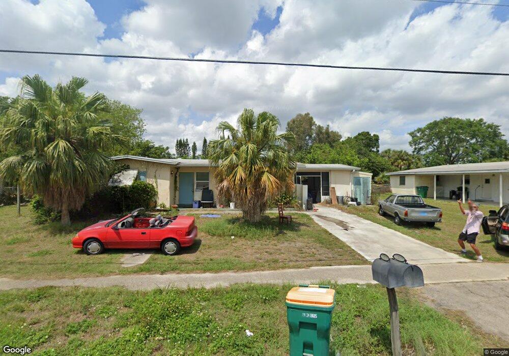
22018 Hernando Ave Port Charlotte, FL 33952
Estimated Value: $156,266 - $205,000
2
Beds
1
Bath
1,056
Sq Ft
$163/Sq Ft
Est. Value
About This Home
This home is located at 22018 Hernando Ave, Port Charlotte, FL 33952 and is currently estimated at $171,817, approximately $162 per square foot. 22018 Hernando Ave is a home located in Charlotte County with nearby schools including Neil Armstrong Elementary School, Port Charlotte Middle School, and Charlotte High School.
Ownership History
Date
Name
Owned For
Owner Type
Purchase Details
Closed on
Jul 26, 2019
Sold by
Mueller Yolanda
Bought by
Mueller Oliver
Current Estimated Value
Purchase Details
Closed on
Sep 12, 2008
Sold by
Mueller Mark
Bought by
Mueller Yolanda
Purchase Details
Closed on
Mar 31, 1998
Sold by
Toth Steve and Toth Helen
Bought by
Mueller Mark L and Mueller Yolanda D
Home Financials for this Owner
Home Financials are based on the most recent Mortgage that was taken out on this home.
Original Mortgage
$47,239
Outstanding Balance
$8,850
Interest Rate
6.95%
Mortgage Type
FHA
Estimated Equity
$162,967
Create a Home Valuation Report for This Property
The Home Valuation Report is an in-depth analysis detailing your home's value as well as a comparison with similar homes in the area
Home Values in the Area
Average Home Value in this Area
Purchase History
| Date | Buyer | Sale Price | Title Company |
|---|---|---|---|
| Mueller Oliver | -- | None Available | |
| Mueller Yolanda | -- | None Available | |
| Mueller Mark L | $46,800 | -- |
Source: Public Records
Mortgage History
| Date | Status | Borrower | Loan Amount |
|---|---|---|---|
| Open | Mueller Mark L | $47,239 |
Source: Public Records
Tax History Compared to Growth
Tax History
| Year | Tax Paid | Tax Assessment Tax Assessment Total Assessment is a certain percentage of the fair market value that is determined by local assessors to be the total taxable value of land and additions on the property. | Land | Improvement |
|---|---|---|---|---|
| 2023 | $3,078 | $149,484 | $17,000 | $132,484 |
| 2022 | $1,150 | $61,861 | $0 | $0 |
| 2021 | $1,147 | $60,059 | $0 | $0 |
| 2020 | $1,114 | $59,230 | $4,505 | $54,725 |
| 2019 | $667 | $30,750 | $0 | $0 |
| 2018 | $603 | $30,177 | $0 | $0 |
| 2017 | $588 | $29,556 | $0 | $0 |
| 2016 | $573 | $28,948 | $0 | $0 |
| 2015 | $547 | $28,747 | $0 | $0 |
| 2014 | $523 | $28,519 | $0 | $0 |
Source: Public Records
Map
Nearby Homes
- 22011 Catherine Ave
- 21904 Beverly Ave
- 21962 Cellini Ave
- 22147 Catherine Ave
- 21899 Cellini Ave
- 22247 Augusta Ave
- 22194 Catherine Ave
- 2209 Easy St
- 2199 Hariet St
- 21448 Kenyon Ave
- 2201 Birchcrest Blvd
- 22198 Felton Ave
- 22167 Marshall Ave
- 22225 Olean Blvd
- 21536 Holdern Ave
- 22201 Olean Blvd
- 2368 Starlite Ln
- 21427 Gladis Ave
- 21427 Gladis Ave Unit 10
- 21455 Mallory Ave
- 22026 Hernando Ave
- 22010 Hernando Ave
- 21987 Catherine Ave
- 22034 Hernando Ave
- 22019 Hernando Ave
- 22027 Hernando Ave
- 22002 Hernando Ave
- 21979 Catherine Ave
- 21995 Catherine Ave
- 22011 Hernando Ave
- 22035 Hernando Ave
- 22042 Avenue
- 22003 Catherine Ave
- 21971 Catherine Ave
- 22042 Hernando Ave
- 22003 Hernando Ave
- 21954 Catherine Ave
- 21994 Hernando Ave
- 22043 Hernando Ave
- 22024 Belinda Ave