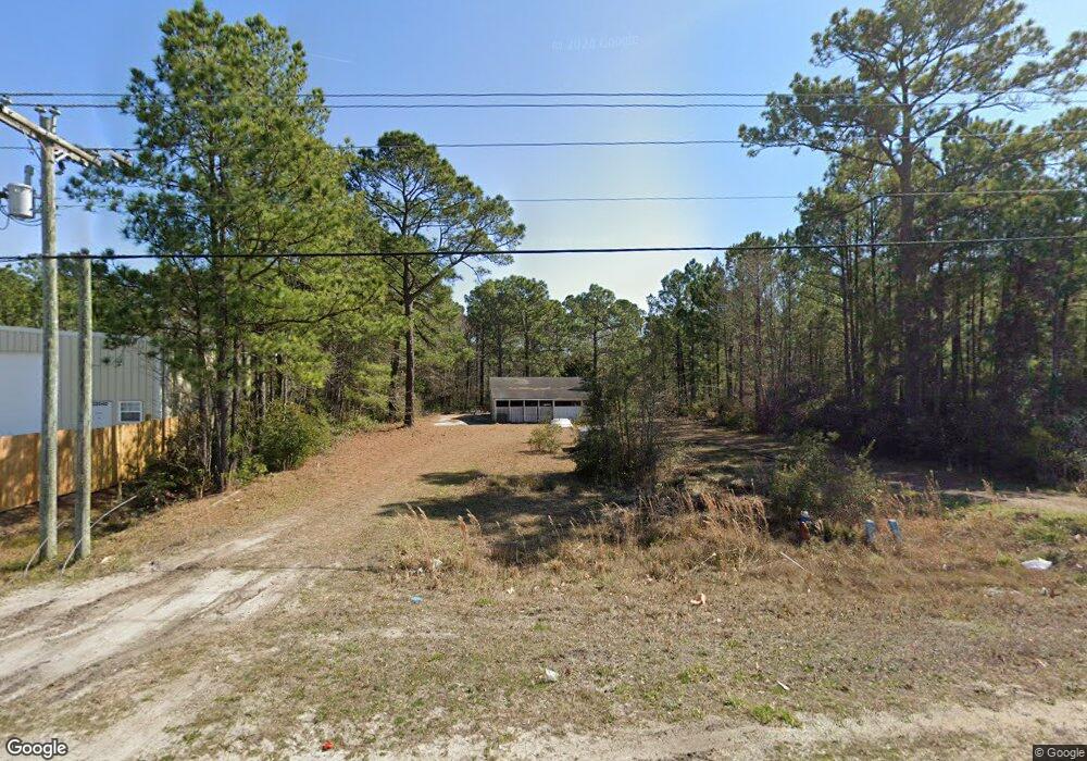
22018 Us Highway 17 Hampstead, NC 28443
Estimated Value: $162,302 - $619,000
--
Bed
--
Bath
--
Sq Ft
0.51
Acres
About This Home
This home is located at 22018 Us Highway 17, Hampstead, NC 28443 and is currently estimated at $337,826. 22018 Us Highway 17 is a home with nearby schools including North Topsail Elementary School, Topsail Middle School, and Topsail High School.
Ownership History
Date
Name
Owned For
Owner Type
Purchase Details
Closed on
Sep 1, 2005
Sold by
Kiger William E and Kiger Lavandra N
Bought by
Sinram Edward F and Sinram Colette
Current Estimated Value
Home Financials for this Owner
Home Financials are based on the most recent Mortgage that was taken out on this home.
Original Mortgage
$101,808
Interest Rate
5.71%
Mortgage Type
Commercial
Create a Home Valuation Report for This Property
The Home Valuation Report is an in-depth analysis detailing your home's value as well as a comparison with similar homes in the area
Home Values in the Area
Average Home Value in this Area
Purchase History
| Date | Buyer | Sale Price | Title Company |
|---|---|---|---|
| Sinram Edward F | $112,000 | -- |
Source: Public Records
Mortgage History
| Date | Status | Borrower | Loan Amount |
|---|---|---|---|
| Closed | Sinram Edward F | $101,808 |
Source: Public Records
Tax History Compared to Growth
Tax History
| Year | Tax Paid | Tax Assessment Tax Assessment Total Assessment is a certain percentage of the fair market value that is determined by local assessors to be the total taxable value of land and additions on the property. | Land | Improvement |
|---|---|---|---|---|
| 2024 | $662 | $71,580 | $68,400 | $3,180 |
| 2023 | $662 | $71,580 | $68,400 | $3,180 |
| 2022 | $596 | $71,580 | $68,400 | $3,180 |
| 2021 | $596 | $71,580 | $68,400 | $3,180 |
| 2020 | $596 | $71,580 | $68,400 | $3,180 |
| 2019 | $596 | $71,580 | $68,400 | $3,180 |
| 2018 | $854 | $97,880 | $88,862 | $9,018 |
| 2017 | $854 | $97,880 | $88,862 | $9,018 |
| 2016 | $844 | $97,880 | $88,862 | $9,018 |
| 2015 | $844 | $97,880 | $88,862 | $9,018 |
| 2014 | $655 | $97,880 | $88,862 | $9,018 |
| 2013 | -- | $97,880 | $88,862 | $9,018 |
| 2012 | -- | $97,880 | $88,862 | $9,018 |
Source: Public Records
Map
Nearby Homes
- 108 Gold Coast Dr
- 351 Royal Tern Dr
- 246 Royal Tern Dr
- 34.38 Ac Stag Dr
- 30.5 Stag Dr
- 102 Whimbrel Way
- 180 Quails Cove
- 63 Royal Tern Dr
- 102 Lumis Ct
- 120 S Burning Tree Dr
- 00 Old Whitfield Rd
- 110 Pagoda Ct
- 201 S Grist Mill Rd
- 107 Laughing Gull Ln
- 108 Paver Ln
- Bailey Plan at The Terraces
- 180 Portico Ct
- 1018 Terraces Ln
- Seagrove Plan at The Terraces
- Cameron Plan at The Terraces
- 22040 Highway 17
- 22100 Us Highway 17 N
- 22100 U S 17
- 21900 Us Highway 17 N
- 21900 U S 17
- 22130 Us Highway 17 N
- 47 Bergman St
- 106 Morris Dr
- 22152 U S 17
- 75 Bergman St
- 103 Bergman St
- 107 Morris Dr
- 000 Morris Dr
- 8 Morris Dr
- 0 Morris Dr
- 5 Morris Dr
- 108 Morris Dr
- 110 Morris Dr
- 22220 Us Highway 17 N
- 21801 Us Highway 17