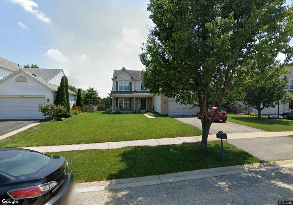
2202 Ashby Ln Unit 1 Plainfield, IL 60586
North Minooka NeighborhoodEstimated Value: $399,309 - $426,000
Studio
1
Bath
2,288
Sq Ft
$181/Sq Ft
Est. Value
About This Home
This home is located at 2202 Ashby Ln Unit 1, Plainfield, IL 60586 and is currently estimated at $413,077, approximately $180 per square foot. 2202 Ashby Ln Unit 1 is a home located in Kendall County with nearby schools including Charles Reed Elementary School, Aux Sable Middle School, and Plainfield South High School.
Ownership History
Date
Name
Owned For
Owner Type
Purchase Details
Closed on
Feb 12, 2003
Sold by
Neumann Homes Inc
Bought by
Oshea Marc E and Oshea Michelle
Current Estimated Value
Home Financials for this Owner
Home Financials are based on the most recent Mortgage that was taken out on this home.
Original Mortgage
$221,855
Outstanding Balance
$91,922
Interest Rate
6%
Mortgage Type
Purchase Money Mortgage
Estimated Equity
$321,155
Create a Home Valuation Report for This Property
The Home Valuation Report is an in-depth analysis detailing your home's value as well as a comparison with similar homes in the area
Home Values in the Area
Average Home Value in this Area
Purchase History
| Date | Buyer | Sale Price | Title Company |
|---|---|---|---|
| Oshea Marc E | $225,000 | Chicago Title Insurance Co |
Source: Public Records
Mortgage History
| Date | Status | Borrower | Loan Amount |
|---|---|---|---|
| Open | Oshea Marc E | $221,855 |
Source: Public Records
Tax History
| Year | Tax Paid | Tax Assessment Tax Assessment Total Assessment is a certain percentage of the fair market value that is determined by local assessors to be the total taxable value of land and additions on the property. | Land | Improvement |
|---|---|---|---|---|
| 2024 | $8,433 | $122,621 | $15,449 | $107,172 |
| 2023 | $7,178 | $111,326 | $13,434 | $97,892 |
| 2022 | $7,178 | $96,142 | $13,133 | $83,009 |
| 2021 | $6,527 | $86,194 | $13,111 | $73,083 |
| 2020 | $6,480 | $84,136 | $13,027 | $71,109 |
| 2019 | $6,388 | $81,725 | $13,027 | $68,698 |
| 2018 | $5,926 | $75,287 | $13,027 | $62,260 |
| 2017 | $5,843 | $70,837 | $13,027 | $57,810 |
| 2016 | $5,575 | $66,382 | $12,866 | $53,516 |
| 2015 | $5,235 | $59,913 | $12,210 | $47,703 |
| 2014 | -- | $57,981 | $12,210 | $45,771 |
| 2013 | -- | $57,981 | $12,210 | $45,771 |
Source: Public Records
Map
Nearby Homes
- 2404 White Ash Ct
- 2031 Havenhill Dr
- 7221 Bradley Dr
- 2002 Havenhill Dr
- 1817 Burshire Ct
- 1910 Crestview Dr Unit 2
- 7407 Southworth Cir Unit 6
- 7311 Fordham Ln
- 2017 Lilyana Ln
- 1713 Burshire Dr
- 7651 Pin Oak Ct
- 2108 Pembridge Ln
- BELLAMY Plan at Ashford Place
- COVENTRY Plan at Ashford Place
- HENLEY Plan at Ashford Place
- HOLCOMBE Plan at Ashford Place
- HAVEN Plan at Ashford Place
- 2410 Ridge View Ln
- 2417 Greywall Blvd
- 2415 Greywall Blvd
- 2204 Ashby Ln Unit 1
- 2200 Ashby Ln Unit 1
- 2206 Ashby Ln
- 2203 Ashby Ln Unit 1
- 2201 Ashby Ln
- 2208 Ashby Ln Unit 1
- 2205 Ashby Ln
- 2199 Ashby Ln Unit 2
- 2198 Ashby Ln Unit 2
- 2207 Ashby Ln Unit 1
- 2210 Ashby Ln Unit 1
- 2197 Ashby Ln
- 7426 Rosewind Dr Unit 2
- 7424 Rosewind Dr Unit 2
- 2209 Ashby Ln
- 2196 Ashby Ln
- 7500 Rosewind Dr Unit 2
- 2212 Ashby Ln
- 7422 Rosewind Dr
- 2195 Ashby Ln