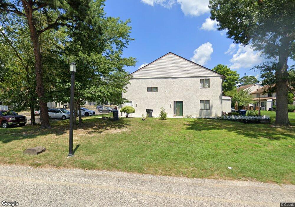
2202 Forest Ln Mays Landing, NJ 08330
Estimated Value: $151,016 - $162,000
--
Bed
--
Bath
892
Sq Ft
$176/Sq Ft
Est. Value
About This Home
This home is located at 2202 Forest Ln, Mays Landing, NJ 08330 and is currently estimated at $156,754, approximately $175 per square foot. 2202 Forest Ln is a home located in Atlantic County with nearby schools including George L. Hess Educational Complex, Joseph Shaner School, and William Davies Middle School.
Ownership History
Date
Name
Owned For
Owner Type
Purchase Details
Closed on
Apr 30, 2004
Sold by
Hickok Darrin
Bought by
Alberto Pedro
Current Estimated Value
Home Financials for this Owner
Home Financials are based on the most recent Mortgage that was taken out on this home.
Original Mortgage
$73,312
Outstanding Balance
$34,300
Interest Rate
5.47%
Mortgage Type
FHA
Estimated Equity
$122,454
Purchase Details
Closed on
Jul 23, 2002
Sold by
Hud
Bought by
Hickok Darrin
Purchase Details
Closed on
Nov 27, 2001
Sold by
Mcdaniel Mira L
Bought by
Hud
Create a Home Valuation Report for This Property
The Home Valuation Report is an in-depth analysis detailing your home's value as well as a comparison with similar homes in the area
Home Values in the Area
Average Home Value in this Area
Purchase History
| Date | Buyer | Sale Price | Title Company |
|---|---|---|---|
| Alberto Pedro | $75,000 | Surety Title Agency Of Atlan | |
| Hickok Darrin | $36,002 | Independence Abstract & Titl | |
| Hud | -- | First Financial Title Agency |
Source: Public Records
Mortgage History
| Date | Status | Borrower | Loan Amount |
|---|---|---|---|
| Open | Alberto Pedro | $73,312 |
Source: Public Records
Tax History Compared to Growth
Tax History
| Year | Tax Paid | Tax Assessment Tax Assessment Total Assessment is a certain percentage of the fair market value that is determined by local assessors to be the total taxable value of land and additions on the property. | Land | Improvement |
|---|---|---|---|---|
| 2025 | $1,414 | $61,600 | $25,000 | $36,600 |
| 2024 | $1,414 | $41,200 | $10,000 | $31,200 |
| 2023 | $1,329 | $41,200 | $10,000 | $31,200 |
| 2022 | $1,329 | $41,200 | $10,000 | $31,200 |
| 2021 | $1,165 | $36,200 | $5,000 | $31,200 |
| 2020 | $1,165 | $36,200 | $5,000 | $31,200 |
| 2019 | $1,168 | $36,200 | $5,000 | $31,200 |
| 2018 | $1,127 | $36,200 | $5,000 | $31,200 |
| 2017 | $1,110 | $36,200 | $5,000 | $31,200 |
| 2016 | $1,078 | $36,200 | $5,000 | $31,200 |
| 2015 | $1,042 | $36,200 | $5,000 | $31,200 |
| 2014 | $1,014 | $38,600 | $7,000 | $31,600 |
Source: Public Records
Map
Nearby Homes
- 2123 Rhododendron Ct Unit 57B
- 2127 Rhododendron Ct Unit 25
- 2340 Primrose Ct
- 2418 Primrose Ct
- 2501 Oleander Ct Unit 3412
- 2626 Nutmeg Ct Unit 385
- 2614 Dogwood Ct Unit 2614
- 2723 Mimosa Ct
- 2725 Mimosa Ct
- 2728 Mimosa Ct Unit 445
- 2731 Mimosa Ct
- 2904 Woodlands Dr
- 2818 Hawthorn Ct Unit 2818
- 3017 Ivy Bush Ct Unit 3017
- 3054 Ivy Bush Ct Unit 515
- 4406 Yorktown Place
- 4455 Yorktown Place Unit 28
- 3110 Woodlands Dr
- 4505 Concord Place Unit K86
- 3137 Woodlands Dr Unit 3137
- 2201 Forest Ln Unit 6010
- 2203 Forest Ln Unit 608
- 2204 Forest Ln Unit 607
- 2205 Forest Ln Unit 606
- 2206 Forest Ln Unit 2206 Forest Lane
- 2206 Forest Ln Unit 605
- 2207 Forest Ln Unit 604
- 2208 Forest Ln
- 2147 Rhododendron Ct
- 2148 Rhododendron Ct
- 2146 Rhododendron Ct Unit 46
- 2146 Rhododendron Ct Unit 595
- 2145 Rhododendron Ct Unit 596
- 2144 Rhododendron Ct
- 2209 Forest Ln
- 2149 Rhododendron Ct Unit 592
- 2143 Rhododendron Ct Unit 598
- 2210 Forest Ln
- 2141 Rhododendron Ct Unit 5910
- 2142 Rhododendron Ct Unit 599