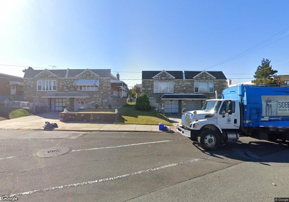
2202 Lansing St Philadelphia, PA 19152
Rhawnhurst NeighborhoodEstimated Value: $266,167 - $281,000
--
Bed
--
Bath
943
Sq Ft
$290/Sq Ft
Est. Value
About This Home
This home is located at 2202 Lansing St, Philadelphia, PA 19152 and is currently estimated at $273,542, approximately $290 per square foot. 2202 Lansing St is a home located in Philadelphia County with nearby schools including Rhawnhurst School, Castor Gardens Middle School, and Northeast High School.
Ownership History
Date
Name
Owned For
Owner Type
Purchase Details
Closed on
May 1, 1998
Sold by
Lukasiewicz Joseph and Schlack Rita
Bought by
Settembrine Raymond C and Settembrine Anna Mae
Current Estimated Value
Create a Home Valuation Report for This Property
The Home Valuation Report is an in-depth analysis detailing your home's value as well as a comparison with similar homes in the area
Home Values in the Area
Average Home Value in this Area
Purchase History
| Date | Buyer | Sale Price | Title Company |
|---|---|---|---|
| Settembrine Raymond C | $75,000 | -- |
Source: Public Records
Tax History Compared to Growth
Tax History
| Year | Tax Paid | Tax Assessment Tax Assessment Total Assessment is a certain percentage of the fair market value that is determined by local assessors to be the total taxable value of land and additions on the property. | Land | Improvement |
|---|---|---|---|---|
| 2025 | $2,923 | $260,600 | $52,120 | $208,480 |
| 2024 | $2,923 | $260,600 | $52,120 | $208,480 |
| 2023 | $2,923 | $208,800 | $41,760 | $167,040 |
| 2022 | $1,953 | $163,800 | $41,760 | $122,040 |
| 2021 | $2,583 | $0 | $0 | $0 |
| 2020 | $2,583 | $0 | $0 | $0 |
| 2019 | $2,352 | $0 | $0 | $0 |
| 2018 | $2,143 | $0 | $0 | $0 |
| 2017 | $2,143 | $0 | $0 | $0 |
| 2016 | $2,123 | $0 | $0 | $0 |
| 2015 | $2,031 | $0 | $0 | $0 |
| 2014 | -- | $153,100 | $40,646 | $112,454 |
| 2012 | -- | $19,808 | $4,102 | $15,706 |
Source: Public Records
Map
Nearby Homes
- 2120 Napfle St
- 7815 Horrocks St
- 2023 Hartel Ave
- 1919 Lansing St
- 2123 Loney St
- 2029 Loney St
- 7528 Loretto Ave
- 7414 Castor Ave
- 1834 Lansing St
- 1917 Griffith St
- 2301 Ripley St
- 1826 Hartel Ave
- 1824 Afton St
- 1821 Afton St
- 1858 Glendale Ave
- 2302 Rhawn St
- 7912 14 Loretto Ave
- 1807 Napfle Ave
- 7525 Calvert St
- 2345 Ripley St
- 2204 Lansing St
- 2200 Lansing St
- 2206 Lansing St
- 2212 Glendale Ave
- 2208 Lansing St
- 2203 Napfle St
- 2201 Napfle St
- 2205 Napfle St
- 2210 Lansing St
- 2207 Napfle St
- 2212 Lansing St
- 2209 Napfle St
- 2214 Lansing St
- 2211 Napfle St
- 7801 Horrocks St
- 2100 Glendale Ave
- 2216 Lansing St
- 2213 Napfle St
- 7803 Horrocks St
- 2218 Lansing St