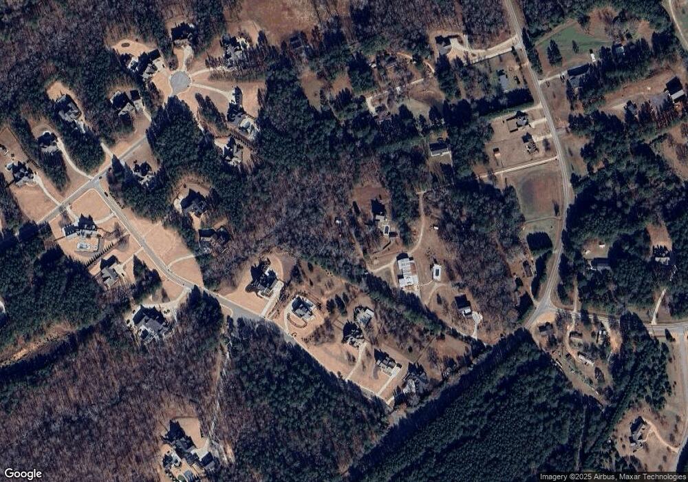
2202 Moores Ford Rd Bogart, GA 30622
Estimated Value: $248,000 - $1,001,096
2
Beds
2
Baths
1,120
Sq Ft
$498/Sq Ft
Est. Value
About This Home
This home is located at 2202 Moores Ford Rd, Bogart, GA 30622 and is currently estimated at $558,274, approximately $498 per square foot. 2202 Moores Ford Rd is a home located in Oconee County with nearby schools including Rocky Branch Elementary School, Malcom Bridge Middle School, and North Oconee High School.
Ownership History
Date
Name
Owned For
Owner Type
Purchase Details
Closed on
Oct 15, 2025
Sold by
Mize Chuck Davis
Bought by
Mize Family Trust and Mize Chuck Davis Tr
Current Estimated Value
Purchase Details
Closed on
Feb 10, 2017
Sold by
Martin Fred S
Bought by
Mize Chuck Davis
Home Financials for this Owner
Home Financials are based on the most recent Mortgage that was taken out on this home.
Original Mortgage
$152,500
Interest Rate
4.12%
Mortgage Type
New Conventional
Purchase Details
Closed on
May 17, 2013
Sold by
Navarrete Theresa M
Bought by
Martin Fred S
Purchase Details
Closed on
May 9, 2007
Sold by
Not Provided
Bought by
Navarrete Theresa M
Create a Home Valuation Report for This Property
The Home Valuation Report is an in-depth analysis detailing your home's value as well as a comparison with similar homes in the area
Home Values in the Area
Average Home Value in this Area
Purchase History
| Date | Buyer | Sale Price | Title Company |
|---|---|---|---|
| Mize Family Trust | -- | -- | |
| Mize Chuck Davis | $167,500 | -- | |
| Martin Fred S | $120,000 | -- | |
| Navarrete Theresa M | $170,000 | -- |
Source: Public Records
Mortgage History
| Date | Status | Borrower | Loan Amount |
|---|---|---|---|
| Previous Owner | Mize Chuck Davis | $152,500 | |
| Closed | Navarrete Theresa M | $0 |
Source: Public Records
Tax History Compared to Growth
Tax History
| Year | Tax Paid | Tax Assessment Tax Assessment Total Assessment is a certain percentage of the fair market value that is determined by local assessors to be the total taxable value of land and additions on the property. | Land | Improvement |
|---|---|---|---|---|
| 2024 | $7,268 | $366,610 | $90,331 | $276,279 |
| 2023 | $2,844 | $132,544 | $83,641 | $48,903 |
| 2022 | $2,344 | $109,238 | $66,913 | $42,325 |
| 2021 | $2,621 | $113,210 | $70,972 | $42,238 |
| 2020 | $2,610 | $112,562 | $69,581 | $42,981 |
| 2019 | $2,018 | $87,045 | $57,984 | $29,061 |
| 2018 | $1,898 | $80,120 | $50,421 | $29,699 |
| 2017 | $1,359 | $57,363 | $45,837 | $11,526 |
| 2016 | $1,200 | $50,665 | $38,772 | $11,893 |
| 2015 | -- | $51,033 | $38,772 | $12,260 |
| 2014 | -- | $47,508 | $35,248 | $12,260 |
| 2013 | -- | $0 | $0 | $0 |
Source: Public Records
Map
Nearby Homes
- 1299 McLeod Estates Dr
- 1691 Snows Mill Rd
- 1650 & 1620 Locklin Cemetery Rd
- 1650 Locklin Cemetery Rd
- 1311 Riverhill Dr
- 1301 Riverhill Dr
- 1251 Riverhill Dr
- 1241 Riverhill Dr
- 1621 Westland Ct
- 1621 Westland Ct Unit 2014 B
- 1547 Westland Ct
- 2548 E Princeton Dr
- 1111 Brookside Terrace Unit 2011D
- 1111 Brookside Terrace
- 1383 Westland Ct Unit 17D
- 2200 Moores Ford Rd
- 2034 Moores Ford Rd
- 2036 Moores Ford Rd
- 1252 Rivers Edge Dr
- 1482 Rivers Edge Dr
- 1736 Rivers Edge Dr
- 1108 Rivers Edge Dr
- 2150 Moores Ford Rd
- 2032 Moores Ford Rd
- 1990 Rivers Edge Dr
- 2181 Moores Ford Rd
- 2031 Moores Ford Rd
- 1986 Moores Ford Rd
- 2042 Moores Ford Rd
- 2030 Moores Ford Rd
- 2288 Rivers Edge Dr
- 1984 Moores Ford Rd
- 1460 Ridgeway Rd
- 1491 Ridgeway Rd
- 1481 Ridgeway Rd
