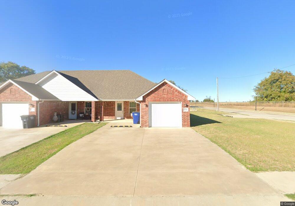
2202 N Leo Ave Shawnee, OK 74804
Estimated Value: $171,000 - $259,000
6
Beds
3
Baths
2,624
Sq Ft
$81/Sq Ft
Est. Value
About This Home
This home is located at 2202 N Leo Ave, Shawnee, OK 74804 and is currently estimated at $212,445, approximately $80 per square foot. 2202 N Leo Ave is a home located in Pottawatomie County with nearby schools including Will Rogers Elementary School, Shawnee Middle School, and Shawnee High School.
Ownership History
Date
Name
Owned For
Owner Type
Purchase Details
Closed on
Oct 1, 2015
Sold by
Winslow Donald E and Bays Winslow Karen Lynne
Bought by
Marical Brothers Real Estate Llc
Current Estimated Value
Purchase Details
Closed on
Jan 17, 2006
Sold by
Burnham Walter F and Spaugy Christopher D
Bought by
Winslow Donald E
Home Financials for this Owner
Home Financials are based on the most recent Mortgage that was taken out on this home.
Original Mortgage
$35,000
Interest Rate
6.05%
Mortgage Type
New Conventional
Create a Home Valuation Report for This Property
The Home Valuation Report is an in-depth analysis detailing your home's value as well as a comparison with similar homes in the area
Home Values in the Area
Average Home Value in this Area
Purchase History
| Date | Buyer | Sale Price | Title Company |
|---|---|---|---|
| Marical Brothers Real Estate Llc | $15,000 | First American Title | |
| Winslow Donald E | $7,000 | None Available | |
| Winslow Donald E | $28,000 | None Available |
Source: Public Records
Mortgage History
| Date | Status | Borrower | Loan Amount |
|---|---|---|---|
| Previous Owner | Winslow Donald E | $35,000 |
Source: Public Records
Tax History Compared to Growth
Tax History
| Year | Tax Paid | Tax Assessment Tax Assessment Total Assessment is a certain percentage of the fair market value that is determined by local assessors to be the total taxable value of land and additions on the property. | Land | Improvement |
|---|---|---|---|---|
| 2024 | $2,871 | $27,483 | $1,800 | $25,683 |
| 2023 | $2,871 | $27,483 | $1,800 | $25,683 |
| 2022 | $2,820 | $27,483 | $1,800 | $25,683 |
| 2021 | $2,769 | $27,483 | $1,800 | $25,683 |
| 2020 | $2,777 | $27,483 | $1,800 | $25,683 |
| 2019 | $2,897 | $27,746 | $1,800 | $25,946 |
| 2018 | $2,866 | $28,007 | $1,800 | $26,207 |
| 2017 | $182 | $1,800 | $1,800 | $0 |
| 2016 | $184 | $1,800 | $1,800 | $0 |
| 2015 | $111 | $2,108 | $1,020 | $1,088 |
| 2014 | $246 | $3,457 | $767 | $2,690 |
Source: Public Records
Map
Nearby Homes
- 2227 Whispering Pine Blvd
- 2418 Ellis Dr
- 1821 W Wiley St
- 1828 W Federal St
- 1902 Oak Tree Ct
- 1900 Timber Dale Dr
- 1914 Oak Tree Ct
- 1933 Rain Tree Dr
- 2106 N Aydelotte Ave
- 37614 W Macarthur St
- 29 Timber Creek Way
- 216 W Georgia St
- 202 W Franklin St
- 1925 N Park Ave
- 7 N Tawana Dr
- 1834 N Market Ave
- 4103 Pine Ridge Rd
- 10 W Midland St
- 1012 N Chapman Ave
- 1522 W Wheeler St
- 2130 N Leo Ave
- 1714 W Franklin St
- 2103 N Leo Ave
- 2110 N Leo Ave
- 1729 W Midland St
- 2306 N Leo Ave
- 1717 W Franklin St
- 2108 N Leo Ave
- 2302 N Leo Ave
- 2203 Ellis Dr
- 1726 W Midland St
- 2127 Ellis Dr
- 1728 W Midland St
- 1733 W Midland St
- 1730 W Midland St
- 2218 Ellis Dr
- 2301 Ellis Dr
- 2202 Ellis Dr
- 2204 Ellis Dr
- 1737 W University St