22020 Airline Rd Sturgis, MI 49091
Estimated Value: $439,000 - $516,168
4
Beds
4
Baths
2,150
Sq Ft
$217/Sq Ft
Est. Value
About This Home
This home is located at 22020 Airline Rd, Sturgis, MI 49091 and is currently estimated at $466,792, approximately $217 per square foot. 22020 Airline Rd is a home located in St. Joseph County with nearby schools including Sturgis High School and New Dawn School.
Ownership History
Date
Name
Owned For
Owner Type
Purchase Details
Closed on
Jun 5, 2023
Sold by
Doe Michael R and Doe Debra Felt
Bought by
Felt Jay B and Felt Mollie
Current Estimated Value
Home Financials for this Owner
Home Financials are based on the most recent Mortgage that was taken out on this home.
Original Mortgage
$319,200
Outstanding Balance
$310,665
Interest Rate
6.39%
Mortgage Type
New Conventional
Estimated Equity
$156,127
Purchase Details
Closed on
Jan 1, 1901
Create a Home Valuation Report for This Property
The Home Valuation Report is an in-depth analysis detailing your home's value as well as a comparison with similar homes in the area
Home Values in the Area
Average Home Value in this Area
Purchase History
| Date | Buyer | Sale Price | Title Company |
|---|---|---|---|
| Felt Jay B | $399,000 | None Listed On Document | |
| -- | -- | -- |
Source: Public Records
Mortgage History
| Date | Status | Borrower | Loan Amount |
|---|---|---|---|
| Open | Felt Jay B | $319,200 |
Source: Public Records
Tax History Compared to Growth
Tax History
| Year | Tax Paid | Tax Assessment Tax Assessment Total Assessment is a certain percentage of the fair market value that is determined by local assessors to be the total taxable value of land and additions on the property. | Land | Improvement |
|---|---|---|---|---|
| 2025 | $6,976 | $254,600 | $30,800 | $223,800 |
| 2024 | $2,423 | $230,400 | $26,400 | $204,000 |
| 2023 | $1,511 | $238,700 | $23,500 | $215,200 |
| 2022 | $0 | $205,000 | $23,100 | $181,900 |
| 2021 | $4,022 | $188,600 | $22,400 | $166,200 |
| 2020 | $3,973 | $173,400 | $20,800 | $152,600 |
| 2019 | $3,899 | $156,400 | $17,500 | $138,900 |
| 2018 | $3,432 | $129,700 | $17,500 | $112,200 |
| 2017 | $3,452 | $126,500 | $126,500 | $0 |
| 2016 | -- | $122,300 | $122,300 | $0 |
| 2015 | -- | $125,900 | $0 | $0 |
| 2014 | -- | $119,200 | $119,200 | $0 |
| 2012 | -- | $130,100 | $130,100 | $0 |
Source: Public Records
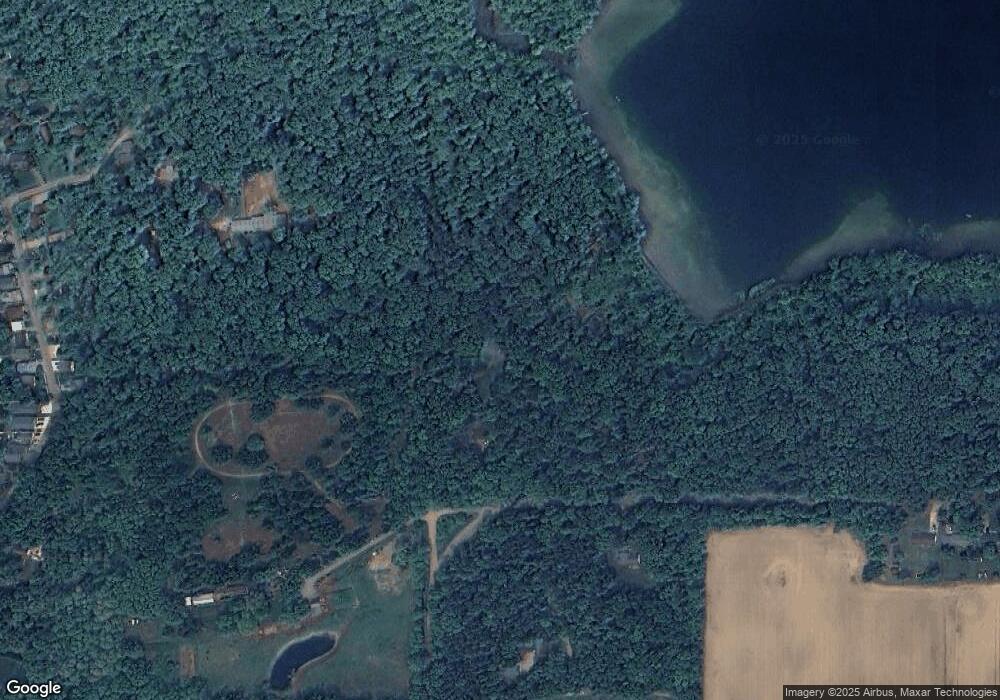
Map
Nearby Homes
- 22025 Airline Rd
- 68534 Hill St
- 68751 Oak St
- 2 Creekside Dr
- 11 Creekside Dr
- 5 Creekside Dr
- 1 Creekside Dr
- 12 Creekside Dr
- 4 Creekside Dr
- 67850 Crooked Creek Rd
- 23772 Wilson Rd
- 20331 Blairs View Dr
- 20189 Dogwood Trail
- VL Crooked Creek Rd
- 0 Crooked Creek Rd
- Parcel D Crooked Creek Rd
- 65890 Burg Rd
- 71108 Aldrich Lake Rd
- 0 Vl Seneca Ct
- VL1 Ottokee Dr
- 22008 Airline Rd
- 22014 Airline Rd
- 22093 Airline Rd
- 22005 Airline Rd
- 22001 Airline Rd
- 21896 Marathon Rd
- 21880 Marathon Rd
- 21850 Marathon Rd
- 21838 Marathon Rd
- 22298 Airline Rd
- 68535 Klinger Lake Rd
- 68535 Klinger Lake Rd
- 22361 Airline Rd
- 22018 Airline Rd
- 68501 Klinger Lake Rd
- 68501 Klinger Lake Rd
- 68481 Klinger Lake Rd
- 5 Klinger Lake Rd
- 6 Klinger Lake Rd
- 0005 Klinger Lake Rd