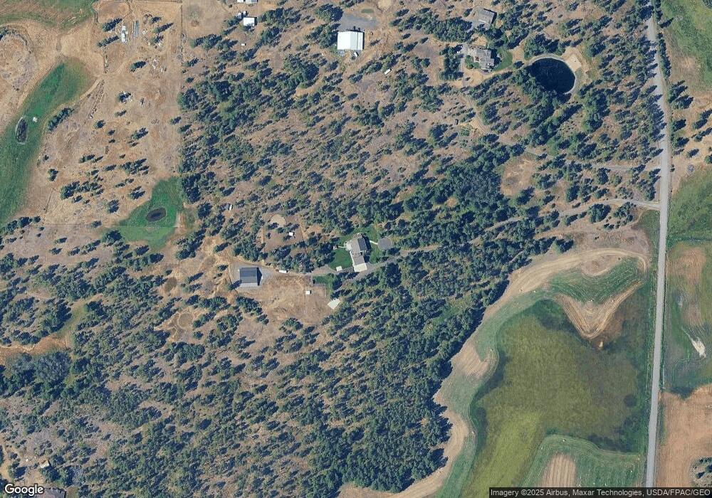
22022 S Parker Rd Spangle, WA 99031
Estimated Value: $1,024,000
3
Beds
4
Baths
5,063
Sq Ft
$202/Sq Ft
Est. Value
About This Home
This home is located at 22022 S Parker Rd, Spangle, WA 99031 and is currently estimated at $1,024,000, approximately $202 per square foot. 22022 S Parker Rd is a home with nearby schools including Liberty Elementary/Junior High School and Liberty High School.
Ownership History
Date
Name
Owned For
Owner Type
Purchase Details
Closed on
Jun 6, 2007
Sold by
Chicha George S
Bought by
Bair Jeffrey P and Bair Kelley P
Current Estimated Value
Home Financials for this Owner
Home Financials are based on the most recent Mortgage that was taken out on this home.
Original Mortgage
$96,750
Interest Rate
6.16%
Mortgage Type
Purchase Money Mortgage
Create a Home Valuation Report for This Property
The Home Valuation Report is an in-depth analysis detailing your home's value as well as a comparison with similar homes in the area
Home Values in the Area
Average Home Value in this Area
Purchase History
| Date | Buyer | Sale Price | Title Company |
|---|---|---|---|
| Bair Jeffrey P | $129,000 | Spokane County Title Co |
Source: Public Records
Mortgage History
| Date | Status | Borrower | Loan Amount |
|---|---|---|---|
| Closed | Bair Jeffrey P | $96,750 |
Source: Public Records
Tax History Compared to Growth
Tax History
| Year | Tax Paid | Tax Assessment Tax Assessment Total Assessment is a certain percentage of the fair market value that is determined by local assessors to be the total taxable value of land and additions on the property. | Land | Improvement |
|---|---|---|---|---|
| 2025 | $7,332 | $1,073,950 | $214,150 | $859,800 |
| 2024 | $7,332 | $801,320 | $120,320 | $681,000 |
| 2023 | $7,024 | $792,070 | $126,770 | $665,300 |
| 2022 | $7,163 | $861,970 | $126,770 | $735,200 |
| 2021 | $7,297 | $678,150 | $115,250 | $562,900 |
| 2020 | $5,915 | $532,790 | $112,990 | $419,800 |
| 2019 | $2,248 | $214,200 | $80,000 | $134,200 |
| 2018 | $2,406 | $194,850 | $65,750 | $129,100 |
| 2017 | $2,196 | $183,820 | $62,320 | $121,500 |
| 2016 | $1,600 | $146,660 | $30,160 | $116,500 |
| 2015 | $1,686 | $146,160 | $29,660 | $116,500 |
| 2014 | -- | $146,160 | $29,660 | $116,500 |
| 2013 | -- | $0 | $0 | $0 |
Source: Public Records
Map
Nearby Homes
- 20xxx S Parker Rd
- 21608 S Mill Rd
- 2207 W Depot Springs Rd
- 22711 S Gateway Ln
- 102 E Cameron Rd
- XXXX S Gateway Ln
- 18616 S Smythe Rd
- 177XX S Smythe Rd
- 25207 S Rupp Rd
- 20112 S Short Rd
- 1112 E Jennings Rd
- 18711 S Aspen Meadows Dr
- Lot 2 Nka Cheney Spangle Rd Unit Parcel 32085.9041
- 17621 S Lois Dr
- 17305 S Blasted Ln
- 16621 S Sherman Rd
- 17522 S Lois Dr
- 16771 S Sherman Rd
- 16220 S Sherman Rd Unit 15
- 1323 W Paradise Rd
- 1323 W Depot Springs Rd
- 21912 S Parker Rd
- 1407 W Depot Springs Rd
- 22212 Sorrento Ln
- 22427 S Parker Rd
- 22429 S Parker Rd
- 0 S Parker Rd Unit 29019361
- 0 S Parker Rd Unit 29029509
- 00 S Parker Rd
- 0 S Parker Rd Unit SAR29019333
- 0 S Parker Rd Unit SAR29011904
- 0 S Parker Rd Unit SAR28018789
- 0 S Parker Rd Unit SAR28012856
- 0 S Parker Rd Unit SAR28012859
- 0 S Parker Rd Unit SAR27033517
- 0 S Parker Rd Unit SAR26029773
- 0 S Parker Rd Unit SAR26029772
- 0 S Parker Rd Unit SAR26026918
- NNA S Parker Rd
- 22110 S Parker Rd