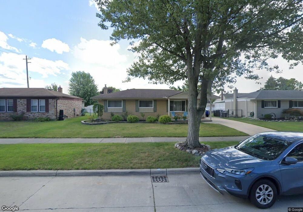
22023 Irongate St Woodhaven, MI 48183
Estimated Value: $241,546 - $282,000
--
Bed
--
Bath
1,340
Sq Ft
$199/Sq Ft
Est. Value
About This Home
This home is located at 22023 Irongate St, Woodhaven, MI 48183 and is currently estimated at $266,137, approximately $198 per square foot. 22023 Irongate St is a home located in Wayne County with nearby schools including Erving Elementary School, Patrick Henry Middle School, and Brownstown Middle School.
Ownership History
Date
Name
Owned For
Owner Type
Purchase Details
Closed on
Jun 20, 2017
Sold by
Jevahirian Deborah and Mosier Deborah C
Bought by
Jevahirian Deborah
Current Estimated Value
Home Financials for this Owner
Home Financials are based on the most recent Mortgage that was taken out on this home.
Original Mortgage
$157,848
Outstanding Balance
$130,754
Interest Rate
3.87%
Mortgage Type
FHA
Estimated Equity
$135,383
Purchase Details
Closed on
Nov 10, 1995
Sold by
Deborah C Mosier
Bought by
Deborah C Mosier
Create a Home Valuation Report for This Property
The Home Valuation Report is an in-depth analysis detailing your home's value as well as a comparison with similar homes in the area
Home Values in the Area
Average Home Value in this Area
Purchase History
| Date | Buyer | Sale Price | Title Company |
|---|---|---|---|
| Jevahirian Deborah | -- | None Available | |
| Deborah C Mosier | $100,000 | -- |
Source: Public Records
Mortgage History
| Date | Status | Borrower | Loan Amount |
|---|---|---|---|
| Open | Jevahirian Deborah | $157,848 |
Source: Public Records
Tax History Compared to Growth
Tax History
| Year | Tax Paid | Tax Assessment Tax Assessment Total Assessment is a certain percentage of the fair market value that is determined by local assessors to be the total taxable value of land and additions on the property. | Land | Improvement |
|---|---|---|---|---|
| 2025 | $3,253 | $119,100 | $0 | $0 |
| 2024 | $3,253 | $111,700 | $0 | $0 |
| 2023 | $3,201 | $99,500 | $0 | $0 |
| 2022 | $3,430 | $89,200 | $0 | $0 |
| 2021 | $3,315 | $82,400 | $0 | $0 |
| 2020 | $3,270 | $73,500 | $0 | $0 |
| 2019 | $3,199 | $82,500 | $0 | $0 |
| 2018 | $2,777 | $78,400 | $0 | $0 |
| 2017 | $683 | $73,800 | $0 | $0 |
| 2016 | $3,029 | $70,600 | $0 | $0 |
| 2015 | $5,666 | $65,500 | $0 | $0 |
| 2013 | $5,489 | $58,700 | $0 | $0 |
| 2012 | $2,506 | $53,000 | $12,000 | $41,000 |
Source: Public Records
Map
Nearby Homes
- 22115 Derby Rd
- 22139 Irongate St
- 24705 Colonial Dr
- 24550 Colonial Dr
- 22310 S Fairway Dr
- N/A Ford Ln
- 23840 Brentwood Dr Unit 102
- 23326 W Fairway Dr
- 23421 Westwood Dr
- 22321 N Fairway Dr
- 23351 Stiles Ct Unit 80
- 23300 Brentwood Dr
- 23121 Leighwood Dr
- 23061 Westwood Dr Unit 6
- 24048 Hemlock Dr Unit 7
- 24320 Westpointe St
- 22571 Silver Creek Dr Unit 16
- 24401 Christian Dr
- 26659 Pepperwood Dr
- 23851 Andrew Blvd
- 22037 Irongate St
- 22009 Irongate St
- 22020 Derby Ct
- 22051 Irongate St
- 22034 Derby Ct
- 22006 Derby Ct
- 22048 Derby Ct
- 22022 Irongate St
- 22036 Irongate St
- 22008 Irongate St
- 22050 Irongate St
- 24709 Cambridge St
- 24723 Cambridge St
- 24737 Cambridge St
- 24551 Cambridge St
- 22019 Hampton Ct
- 22033 Hampton Ct
- 22035 Derby Ct
- 22005 Hampton Ct
- 24533 Cambridge St