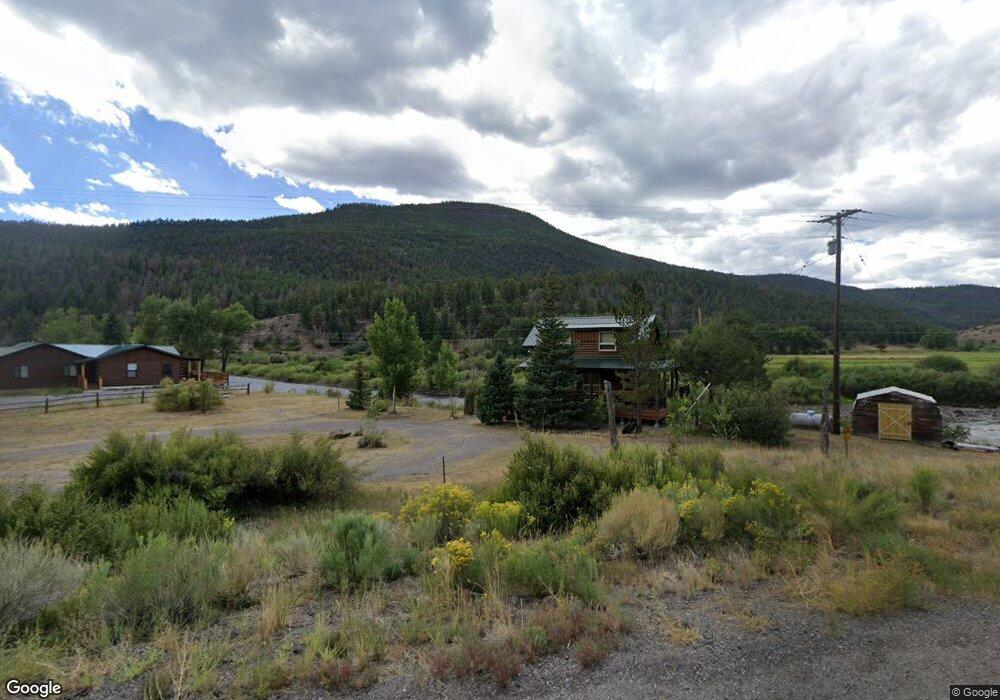
2203 Highway 149 South Fork, CO 81154
Estimated Value: $413,000 - $690,000
3
Beds
2
Baths
966
Sq Ft
$530/Sq Ft
Est. Value
About This Home
This home is located at 2203 Highway 149, South Fork, CO 81154 and is currently estimated at $511,667, approximately $529 per square foot. 2203 Highway 149 is a home with nearby schools including Del Norte K-8 School and Del Norte High School.
Ownership History
Date
Name
Owned For
Owner Type
Purchase Details
Closed on
Feb 26, 2021
Sold by
Goolsby Joe Edwin and Goolsby Juaneille
Bought by
Herndon Nathan and Paffenroth Skylar
Current Estimated Value
Home Financials for this Owner
Home Financials are based on the most recent Mortgage that was taken out on this home.
Original Mortgage
$277,500
Outstanding Balance
$248,193
Interest Rate
2.7%
Mortgage Type
New Conventional
Estimated Equity
$263,474
Purchase Details
Closed on
Nov 28, 1983
Bought by
Sargent Billy R and Sargent Ruth H
Create a Home Valuation Report for This Property
The Home Valuation Report is an in-depth analysis detailing your home's value as well as a comparison with similar homes in the area
Home Values in the Area
Average Home Value in this Area
Purchase History
| Date | Buyer | Sale Price | Title Company |
|---|---|---|---|
| Herndon Nathan | -- | None Listed On Document | |
| Herndon Nathan | $370,000 | Allpine Title | |
| Sargent Billy R | -- | -- |
Source: Public Records
Mortgage History
| Date | Status | Borrower | Loan Amount |
|---|---|---|---|
| Open | Herndon Nathan | $277,500 | |
| Closed | Herndon Nathan | $277,500 |
Source: Public Records
Tax History Compared to Growth
Tax History
| Year | Tax Paid | Tax Assessment Tax Assessment Total Assessment is a certain percentage of the fair market value that is determined by local assessors to be the total taxable value of land and additions on the property. | Land | Improvement |
|---|---|---|---|---|
| 2024 | $1,090 | $16,892 | $4,528 | $12,364 |
| 2023 | $1,090 | $16,892 | $4,528 | $12,364 |
| 2022 | $887 | $13,702 | $5,721 | $7,981 |
| 2021 | $897 | $14,096 | $5,886 | $8,210 |
| 2020 | $896 | $14,015 | $5,886 | $8,129 |
| 2019 | $897 | $14,015 | $5,886 | $8,129 |
| 2018 | $896 | $13,920 | $0 | $0 |
| 2017 | $904 | $13,920 | $0 | $0 |
| 2016 | $729 | $14,527 | $0 | $0 |
| 2015 | $740 | $14,527 | $0 | $0 |
| 2014 | $740 | $14,698 | $0 | $0 |
| 2013 | $696 | $14,698 | $0 | $0 |
Source: Public Records
Map
Nearby Homes
- 164 Woodchuck Dr
- 120 East St
- TBD Colorado 149
- 59 Spruce Dr W
- 7 Cottonwood Dr
- 0 Ellingwood Dr Unit 829439
- TBD Little Bear Circle Lot 55
- TBD Little Bear Circle Lot 54
- 328 Fir Dr
- 170 Ford Ln
- 271 Master's Place
- 580 Blanca Vista Dr
- 530 Blanca Vista Dr
- TBD Little Bear Circle Lot 41
- 0 Aspen Dr
- 0253 Aspen Cir
- 44 Hopi Ct
- 545 Timberline Trail
- 152 Conifer Dr
- 65 Timberline Trail
- 2201 State Highway 149
- 2199 State Highway 149
- N Woodchuck Dr
- 156 Woodchuck Dr
- 120 Woodchuck Dr
- 0 Woodchuck Dr
- 157 Woodchuck Dr
- 2203 Colorado 149
- 31 Ermine Ct
- 45 Ermine Ct
- 27 Woodchuck Dr
- 0 Ermine Ct
- 0 Cabin# 4 Unit Cabin 4 671870
- 28 Ermine Ct
- 90 Woodchuck Dr
- 36 Ermine Ct
- 0156 Woodchuck Dr
- 48 Woodchuck Dr
- 72 Woodchuck Dr
- 227 Elk Creek Dr