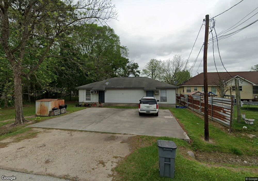
2203 Ladin Dr Houston, TX 77039
East Aldine NeighborhoodEstimated Value: $189,000 - $436,000
4
Beds
2
Baths
1,500
Sq Ft
$194/Sq Ft
Est. Value
About This Home
This home is located at 2203 Ladin Dr, Houston, TX 77039 and is currently estimated at $290,667, approximately $193 per square foot. 2203 Ladin Dr is a home located in Harris County with nearby schools including Hinojosa EC/PK/K, Raymond Academy, and Mead Middle.
Ownership History
Date
Name
Owned For
Owner Type
Purchase Details
Closed on
Oct 31, 2004
Sold by
Endsley Jackie
Bought by
Lee Beverly Lenn Stout
Current Estimated Value
Purchase Details
Closed on
Nov 7, 1998
Sold by
Henderson Russell and Henderson Patricia
Bought by
Endsley Jackie
Purchase Details
Closed on
Jun 26, 1998
Sold by
Spangler Tommy L and Parks Kathy L
Bought by
Kellner Milton and Kellner Laura
Create a Home Valuation Report for This Property
The Home Valuation Report is an in-depth analysis detailing your home's value as well as a comparison with similar homes in the area
Home Values in the Area
Average Home Value in this Area
Purchase History
| Date | Buyer | Sale Price | Title Company |
|---|---|---|---|
| Lee Beverly Lenn Stout | -- | -- | |
| Endsley Jackie | -- | -- | |
| Kellner Milton | -- | -- |
Source: Public Records
Tax History Compared to Growth
Tax History
| Year | Tax Paid | Tax Assessment Tax Assessment Total Assessment is a certain percentage of the fair market value that is determined by local assessors to be the total taxable value of land and additions on the property. | Land | Improvement |
|---|---|---|---|---|
| 2025 | $898 | $86,822 | $47,400 | $39,422 |
| 2024 | $898 | $86,822 | $47,400 | $39,422 |
| 2023 | $1,616 | $255,403 | $47,400 | $208,003 |
| 2022 | $1,785 | $86,822 | $23,700 | $63,122 |
| 2021 | $1,810 | $83,962 | $23,700 | $60,262 |
| 2020 | $2,094 | $92,191 | $17,775 | $74,416 |
| 2019 | $1,932 | $81,201 | $17,775 | $63,426 |
| 2018 | $1,166 | $81,201 | $17,775 | $63,426 |
| 2017 | $1,840 | $81,201 | $17,775 | $63,426 |
| 2016 | $1,840 | $81,201 | $17,775 | $63,426 |
| 2015 | $1,749 | $81,201 | $17,775 | $63,426 |
| 2014 | $1,749 | $78,424 | $17,775 | $60,649 |
Source: Public Records
Map
Nearby Homes
- 13310 Robertcrest St Unit B
- 1810 Connorvale Rd
- 12123 Steeple Ln
- 2611 Lauder Rd
- 2710 Woodgate St
- 2434 Balmorhea Ave
- 2438 Balmorhea Ave
- 2703 Lauder Rd
- 2715 Toyah Ave
- 1720 Strawn Rd
- 1730 Strawn Rd
- 2807 Verhalen Ave
- 1722 Strawn Rd
- 1725 Strawn Rd
- 3503 Debeney Dr
- 1916 Gault Rd
- 1826 Gault Rd
- 0 Lauder Rd
- 13113 Reeveston Rd
- 13635 Reeveston Rd
- 2207 Ladin Dr
- 2200 Ladin Dr
- 2227 Ladin Dr
- 2130 Ladin Dr
- 2130 Ladin Dr Unit C103
- 2130 Ladin Dr Unit B202
- 2130 Ladin Dr Unit B101
- 2130 Ladin Dr Unit A101
- 2117 Ladin Dr
- 2223 Sandydale Ln
- 2122 Ladin Dr
- 2201 Sandydale Ln
- 2205 Sandydale Ln
- 2139 Sandydale Ln
- 2209 Sandydale Ln
- 2118 Ladin Dr
- 2114 Ladin Dr
- 2311 Ladin Dr
- 2115 Ladin Dr
- 2109 Ladin Dr