2204 10th Ave SW Devils Lake, ND 58301
Estimated Value: $254,010 - $355,000
4
Beds
1
Bath
1,232
Sq Ft
$241/Sq Ft
Est. Value
About This Home
This home is located at 2204 10th Ave SW, Devils Lake, ND 58301 and is currently estimated at $296,503, approximately $240 per square foot. 2204 10th Ave SW is a home located in Ramsey County with nearby schools including Minnie H. Kindergarten Center, Central Middle School, and Devils Lake High School.
Ownership History
Date
Name
Owned For
Owner Type
Purchase Details
Closed on
Nov 16, 2021
Sold by
Bachmeier Adam W
Bought by
Bachmeier Sara V
Current Estimated Value
Purchase Details
Closed on
Jul 16, 2012
Sold by
Engh Vern S and Engh Cheryl A
Bought by
Bachmeier Adam W and Bachmeier Sara
Home Financials for this Owner
Home Financials are based on the most recent Mortgage that was taken out on this home.
Original Mortgage
$181,115
Interest Rate
3.87%
Mortgage Type
FHA
Create a Home Valuation Report for This Property
The Home Valuation Report is an in-depth analysis detailing your home's value as well as a comparison with similar homes in the area
Home Values in the Area
Average Home Value in this Area
Purchase History
| Date | Buyer | Sale Price | Title Company |
|---|---|---|---|
| Bachmeier Sara V | -- | None Available | |
| Bachmeier Adam W | -- | None Available |
Source: Public Records
Mortgage History
| Date | Status | Borrower | Loan Amount |
|---|---|---|---|
| Closed | Bachmeier Adam W | $189,419 | |
| Closed | Bachmeier Adam W | $181,115 | |
| Previous Owner | Engh Vern S | $65,724 | |
| Previous Owner | Engh Vern S | $65,964 | |
| Previous Owner | Engh Vern S | $41,400 |
Source: Public Records
Tax History Compared to Growth
Tax History
| Year | Tax Paid | Tax Assessment Tax Assessment Total Assessment is a certain percentage of the fair market value that is determined by local assessors to be the total taxable value of land and additions on the property. | Land | Improvement |
|---|---|---|---|---|
| 2024 | $3,106 | $123,600 | $15,000 | $108,600 |
| 2023 | $2,628 | $123,600 | $14,000 | $109,600 |
| 2022 | $2,548 | $123,600 | $9,000 | $114,600 |
| 2021 | $2,266 | $112,500 | $9,000 | $103,500 |
| 2020 | $1,981 | $102,500 | $9,000 | $93,500 |
| 2019 | $1,996 | $102,500 | $9,000 | $93,500 |
| 2018 | $1,998 | $0 | $0 | $0 |
| 2017 | $1,728 | $0 | $0 | $0 |
| 2016 | $1,553 | $85,250 | $0 | $0 |
| 2015 | $1,603 | $0 | $0 | $0 |
| 2014 | $1,515 | $0 | $0 | $0 |
| 2013 | -- | $0 | $0 | $0 |
Source: Public Records
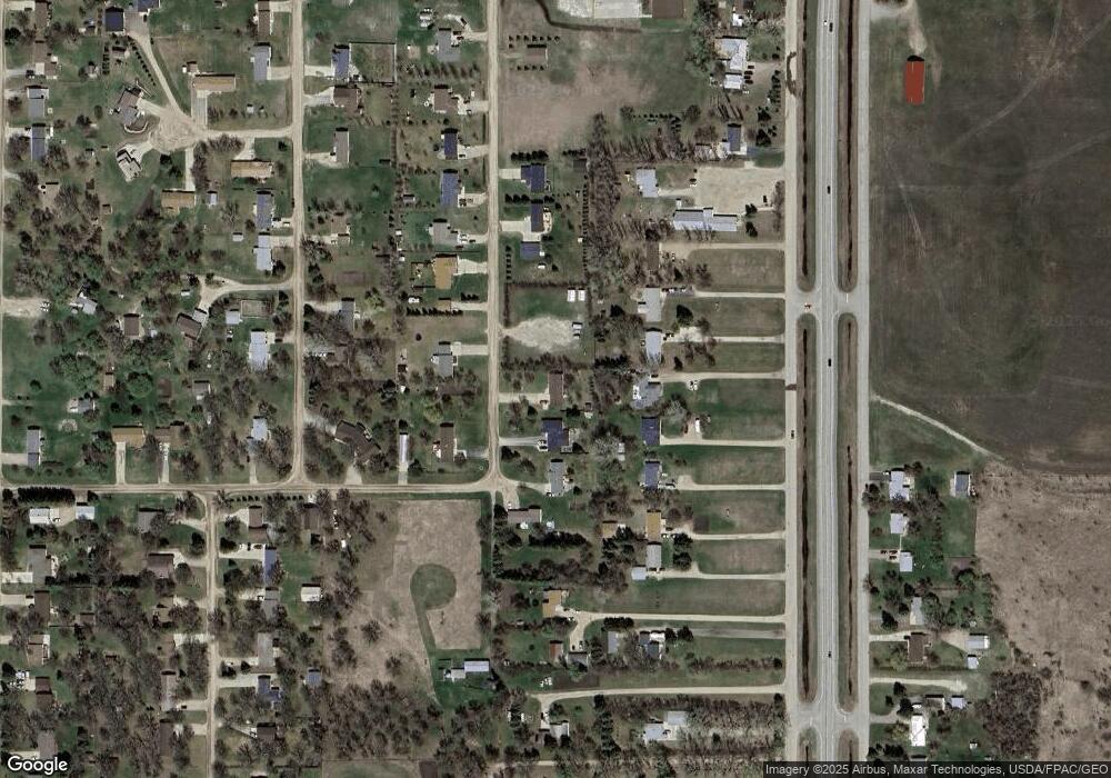
Map
Nearby Homes
- 2118 11th Ave SW
- 2201 13th Ave SW
- 2435 12th Ave SW
- 1207 4th Ave SE
- 324 3rd St SE
- 213 Rock Island Dr
- LOTS 1-13 Section 8 Block 1 the Tips
- TBD Eagle Bend Estates
- 520 Railroad Ave SE
- 619 1st St NE
- 1012 Fair St SE
- 901 1st St NE
- 1009 2nd St NE
- 108 3rd Ave NW
- 811 4th Ave NE
- 815 5th St NE
- 503 7th St NE
- 1012 5th St NE
- 208 10th St NW
- 804 Kelly Ave NE
- 2204 10th Ave SW
- 2212 10th Ave SW
- 2220 10th Ave SW
- 2121 Highway 20
- 2127 10th Ave SW
- 2115 Highway 20
- 2205 Highway 20
- 2213 10th Ave SW
- 1012 Brook St SW
- 2109 Highway 20
- 2213 Highway 20
- 2038 10th Ave SW
- 2111 10th Ave SW
- 2105 Highway 20
- 2217 Highway 20
- 2107 10th Ave SW
- 2219 Highway 20
- 2206 11th Ave SW
- 2305 Highway 20
- 2028 10th Ave SW