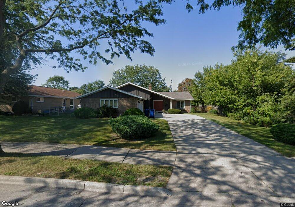
2204 10th St Waukegan, IL 60085
Norshore Park NeighborhoodEstimated Value: $298,000 - $334,000
4
Beds
3
Baths
1,687
Sq Ft
$191/Sq Ft
Est. Value
About This Home
This home is located at 2204 10th St, Waukegan, IL 60085 and is currently estimated at $322,677, approximately $191 per square foot. 2204 10th St is a home located in Lake County with nearby schools including Clearview Elementary School, John R Lewis Middle School, and Waukegan High School.
Ownership History
Date
Name
Owned For
Owner Type
Purchase Details
Closed on
May 25, 2001
Sold by
Sunga Gabriela N
Bought by
Sunga Gabriela N and Gabriela N Sunga Living Trust
Current Estimated Value
Purchase Details
Closed on
Aug 18, 1998
Sold by
Sunga Luis R
Bought by
Sunga Gabriela N
Home Financials for this Owner
Home Financials are based on the most recent Mortgage that was taken out on this home.
Original Mortgage
$72,000
Interest Rate
7.04%
Create a Home Valuation Report for This Property
The Home Valuation Report is an in-depth analysis detailing your home's value as well as a comparison with similar homes in the area
Home Values in the Area
Average Home Value in this Area
Purchase History
| Date | Buyer | Sale Price | Title Company |
|---|---|---|---|
| Sunga Gabriela N | -- | -- | |
| Sunga Gabriela N | -- | Chicago Title Insurance Co |
Source: Public Records
Mortgage History
| Date | Status | Borrower | Loan Amount |
|---|---|---|---|
| Closed | Sunga Gabriela N | $72,000 |
Source: Public Records
Tax History Compared to Growth
Tax History
| Year | Tax Paid | Tax Assessment Tax Assessment Total Assessment is a certain percentage of the fair market value that is determined by local assessors to be the total taxable value of land and additions on the property. | Land | Improvement |
|---|---|---|---|---|
| 2024 | $8,431 | $99,877 | $14,517 | $85,360 |
| 2023 | $7,399 | $89,415 | $12,432 | $76,983 |
| 2022 | $7,399 | $81,680 | $12,443 | $69,237 |
| 2021 | $6,700 | $70,261 | $10,687 | $59,574 |
| 2020 | $6,740 | $65,456 | $9,956 | $55,500 |
| 2019 | $6,730 | $59,980 | $9,123 | $50,857 |
| 2018 | $6,056 | $53,218 | $11,738 | $41,480 |
| 2017 | $5,844 | $47,083 | $10,385 | $36,698 |
| 2016 | $5,395 | $40,913 | $9,024 | $31,889 |
| 2015 | $5,172 | $36,618 | $8,077 | $28,541 |
| 2014 | $4,414 | $31,630 | $8,653 | $22,977 |
| 2012 | $5,691 | $34,268 | $9,374 | $24,894 |
Source: Public Records
Map
Nearby Homes
- 1712 11th St
- 819 S Fulton Ave
- 1511 14th St
- 12601 W Atlantic Ave
- 2116 & 2101 Williamsburg Dr
- 1521 Seymour Ave
- 1244 Victoria Ave
- 2726 W Hidden Glen Dr
- 1617 Grove Ave
- 3027 Belvidere Rd
- 910 Cummings Ave
- 724 10th St
- 1210 Park Ave
- 815 Prescott St
- 1535 Glenn Dr
- 671 Oldsmar Ln
- 1423 Victoria Ave
- 3159 Jeanette Ave
- 446 S Jackson St
- 720 13th St
- 2130 10th St
- 931 Carney St
- 2213 Marshall Pkwy
- 2205 Marshall Pkwy
- 925 Carney St
- 2126 10th St
- 2201 Marshall Pkwy
- 948 Carney St
- 2121 Marshall Pkwy
- 2227 Marshall Pkwy
- 2234 10th St
- 2233 Marshall Pkwy
- 2113 Marshall Pkwy
- 2210 Marshall Pkwy
- 2212 Marshall Pkwy
- 2204 Marshall Pkwy
- 2218 Marshall Pkwy
- 2200 Marshall Pkwy
- 2122 Marshall Pkwy
- 2240 10th St