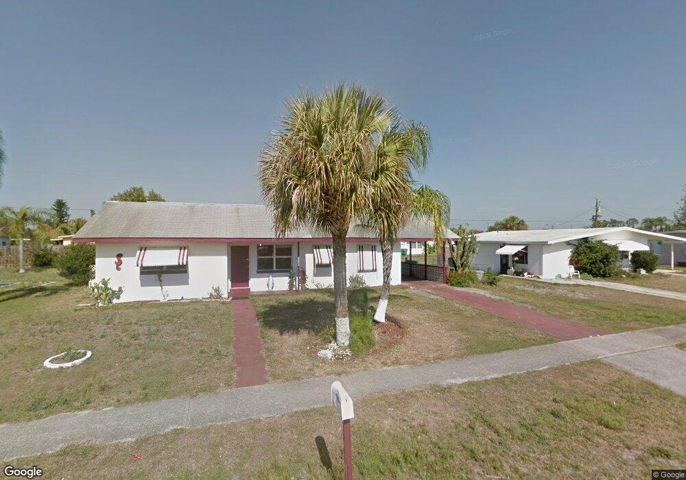
22040 Beverly Ave Port Charlotte, FL 33952
Estimated Value: $161,000 - $188,000
2
Beds
1
Bath
1,080
Sq Ft
$163/Sq Ft
Est. Value
About This Home
This home is located at 22040 Beverly Ave, Port Charlotte, FL 33952 and is currently estimated at $176,257, approximately $163 per square foot. 22040 Beverly Ave is a home located in Charlotte County with nearby schools including Neil Armstrong Elementary School, Port Charlotte Middle School, and Charlotte High School.
Ownership History
Date
Name
Owned For
Owner Type
Purchase Details
Closed on
Aug 13, 2021
Sold by
Walton Joan C
Bought by
Meacham William A
Current Estimated Value
Home Financials for this Owner
Home Financials are based on the most recent Mortgage that was taken out on this home.
Original Mortgage
$70,000
Outstanding Balance
$63,507
Interest Rate
2.75%
Mortgage Type
New Conventional
Estimated Equity
$112,750
Purchase Details
Closed on
Oct 6, 2000
Sold by
Walton James C
Bought by
Pollard Barbara E
Purchase Details
Closed on
Dec 31, 1993
Sold by
Peters Terry E and Peters Ida K
Bought by
Walton James C and Walton Joan C
Create a Home Valuation Report for This Property
The Home Valuation Report is an in-depth analysis detailing your home's value as well as a comparison with similar homes in the area
Home Values in the Area
Average Home Value in this Area
Purchase History
| Date | Buyer | Sale Price | Title Company |
|---|---|---|---|
| Meacham William A | $75,000 | Hometown Ttl & Closing Svcs | |
| Pollard Barbara E | $25,000 | -- | |
| Walton James C | $2,700 | -- |
Source: Public Records
Mortgage History
| Date | Status | Borrower | Loan Amount |
|---|---|---|---|
| Open | Meacham William A | $70,000 |
Source: Public Records
Tax History Compared to Growth
Tax History
| Year | Tax Paid | Tax Assessment Tax Assessment Total Assessment is a certain percentage of the fair market value that is determined by local assessors to be the total taxable value of land and additions on the property. | Land | Improvement |
|---|---|---|---|---|
| 2023 | $2,799 | $130,150 | $0 | $0 |
| 2022 | $2,555 | $118,318 | $13,600 | $104,718 |
| 2021 | $1,628 | $60,261 | $5,950 | $54,311 |
| 2020 | $1,509 | $53,818 | $4,505 | $49,313 |
| 2019 | $1,399 | $52,205 | $5,015 | $47,190 |
| 2018 | $1,248 | $49,211 | $4,505 | $44,706 |
| 2017 | $1,164 | $41,370 | $3,953 | $37,417 |
| 2016 | $1,096 | $35,374 | $0 | $0 |
| 2015 | $1,064 | $32,832 | $0 | $0 |
| 2014 | $1,005 | $30,549 | $0 | $0 |
Source: Public Records
Map
Nearby Homes
- 21904 Beverly Ave
- 22011 Catherine Ave
- 22247 Augusta Ave
- 22201 Olean Blvd
- 22147 Catherine Ave
- 22217 Olean Blvd
- 21962 Cellini Ave
- 22198 Felton Ave
- 2368 Starlite Ln
- 22194 Catherine Ave
- 21536 Holdern Ave
- 21448 Kenyon Ave
- 21899 Cellini Ave
- 21882 Haines Ave
- 22342 Augusta Ave
- 22167 Marshall Ave
- 21455 Mallory Ave
- 21456 Holdern Ave
- 2309 Conway Blvd
- 3124 Crestwood Dr
- 22048 Beverly Ave
- 22032 Beverly Ave
- 22032 Avenue
- 21653 Augusta Ave
- 21645 Augusta Ave
- 21661 Augusta Ave
- 22041 Avenue
- 22041 Beverly Ave
- 22056 Beverly Ave
- 22024 Beverly Ave
- 22033 Beverly Ave
- 21699 Augusta Ave
- 21637 Augusta Ave
- 22049 Beverly Ave
- 21669 Augusta Ave
- 22025 Beverly Ave
- 22064 Beverly Ave Unit 9
- 22057 Beverly Ave
- 222288 Belinda Ave
- 222228 Belinda Ave