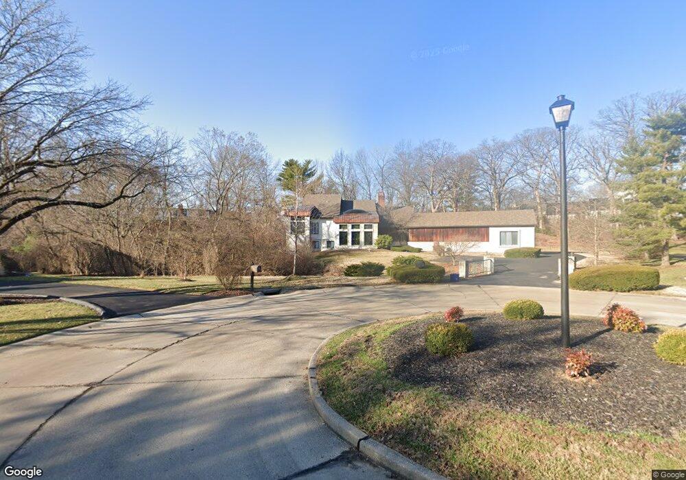
2205 Barnbridge Rd Saint Louis, MO 63131
Estimated Value: $1,537,000 - $2,065,000
1
Bed
4
Baths
5,252
Sq Ft
$324/Sq Ft
Est. Value
About This Home
This home is located at 2205 Barnbridge Rd, Saint Louis, MO 63131 and is currently estimated at $1,701,063, approximately $323 per square foot. 2205 Barnbridge Rd is a home located in St. Louis County with nearby schools including Mason Ridge Elementary School, Parkway West Middle School, and Parkway West High School.
Ownership History
Date
Name
Owned For
Owner Type
Purchase Details
Closed on
Apr 2, 2018
Sold by
Mcminn Thodore S and Mcminn Izabella
Bought by
Mcminn Thodore S and Mcminn Izabella
Current Estimated Value
Purchase Details
Closed on
Jun 1, 2006
Sold by
Greenberg Scott and Manlin Richard
Bought by
Mcminn Theodore S and Salski Izabella
Home Financials for this Owner
Home Financials are based on the most recent Mortgage that was taken out on this home.
Original Mortgage
$417,000
Outstanding Balance
$245,025
Interest Rate
6.56%
Mortgage Type
Fannie Mae Freddie Mac
Estimated Equity
$1,456,038
Purchase Details
Closed on
Apr 15, 2003
Sold by
Manlin Richard
Bought by
Greenberg Scott
Home Financials for this Owner
Home Financials are based on the most recent Mortgage that was taken out on this home.
Original Mortgage
$300,000
Interest Rate
8.4%
Mortgage Type
Purchase Money Mortgage
Create a Home Valuation Report for This Property
The Home Valuation Report is an in-depth analysis detailing your home's value as well as a comparison with similar homes in the area
Home Values in the Area
Average Home Value in this Area
Purchase History
| Date | Buyer | Sale Price | Title Company |
|---|---|---|---|
| Mcminn Thodore S | -- | None Available | |
| Mcminn Theodore S | $825,000 | None Available | |
| Greenberg Scott | -- | -- | |
| Manlin Richard | -- | -- |
Source: Public Records
Mortgage History
| Date | Status | Borrower | Loan Amount |
|---|---|---|---|
| Open | Mcminn Theodore S | $417,000 | |
| Previous Owner | Manlin Richard | $300,000 |
Source: Public Records
Tax History
| Year | Tax Paid | Tax Assessment Tax Assessment Total Assessment is a certain percentage of the fair market value that is determined by local assessors to be the total taxable value of land and additions on the property. | Land | Improvement |
|---|---|---|---|---|
| 2025 | $10,490 | $255,880 | $95,860 | $160,020 |
| 2024 | $10,490 | $178,390 | $76,680 | $101,710 |
| 2023 | $10,490 | $178,390 | $76,680 | $101,710 |
| 2022 | $10,326 | $168,610 | $67,090 | $101,520 |
| 2021 | $10,242 | $168,610 | $67,090 | $101,520 |
| 2020 | $9,414 | $148,200 | $65,130 | $83,070 |
| 2019 | $9,181 | $148,200 | $65,130 | $83,070 |
| 2018 | $9,931 | $148,200 | $65,130 | $83,070 |
| 2017 | $9,797 | $148,200 | $65,130 | $83,070 |
| 2016 | $9,513 | $136,800 | $55,820 | $80,980 |
| 2015 | $10,234 | $136,800 | $55,820 | $80,980 |
| 2014 | $9,442 | $136,800 | $63,080 | $73,720 |
Source: Public Records
Map
Nearby Homes
- TBB
- TBB Ballas Ridge Hawthorne II
- TBB Ballas Ridge Westchester IV
- TBB Ballas Ridge Roclare II
- TBB
- 2030 N Ballas Rd
- 2056 N Ballas Rd
- 2062 N Ballas Rd
- 0 Unknown Unit 22071090
- 2046 Willow Leaf Dr
- 12439 Springdale Ln Unit TBB
- 152 Frontenac Forest
- 1741 Pine Hill Dr
- 11230 Hermitage Hill Place
- 3 Countryside Ln
- 1319 Kendon Dr
- 11758 Westham Dr
- 11712 Westham Dr
- 18 Country Aire Dr
- 11549 Clayton Rd
- 2213 Barnbridge Rd
- 1970 Tricorn Ln
- 12311 Harflo Ln
- 2204 Barnbridge Rd
- 1965 Tricorn Ln
- 2221 Barnbridge Rd
- 12319 Harflo Ln
- 2212 Barnbridge Rd
- 12049 Chaltenham Dr
- 12325 Harflo Ln
- 1964 Tricorn Ln
- 1953 Tricorn Ln
- 12320 Eckelmann Ln
- 2227 Barnbridge Rd
- 12308 Eckelmann Ln
- 12331 Harflo Ln
- 12111 Belle Meade Rd
- 12300 Ballas Woods Ct
- 2228 Barnbridge Rd
- 12041 Chaltenham Dr
Your Personal Tour Guide
Ask me questions while you tour the home.