2205 Boston Rd Unit D36 Wilbraham, MA 01095
Estimated Value: $322,000 - $373,000
2
Beds
3
Baths
1,335
Sq Ft
$256/Sq Ft
Est. Value
About This Home
This home is located at 2205 Boston Rd Unit D36, Wilbraham, MA 01095 and is currently estimated at $341,278, approximately $255 per square foot. 2205 Boston Rd Unit D36 is a home located in Hampden County with nearby schools including Minnechaug Regional High School and St. John the Baptist School.
Ownership History
Date
Name
Owned For
Owner Type
Purchase Details
Closed on
Dec 4, 2020
Sold by
Oconnell Vincent M
Bought by
Farrell Janet G
Current Estimated Value
Purchase Details
Closed on
Jun 17, 2014
Sold by
Radebaugh Kate A and Sypek Kevin J
Bought by
Oconnell Vincent M
Home Financials for this Owner
Home Financials are based on the most recent Mortgage that was taken out on this home.
Original Mortgage
$166,500
Interest Rate
4.27%
Mortgage Type
New Conventional
Purchase Details
Closed on
Jun 10, 2010
Sold by
Walsh Michael F and Walsh Jessica S
Bought by
Radebaugh Kate A
Home Financials for this Owner
Home Financials are based on the most recent Mortgage that was taken out on this home.
Original Mortgage
$192,309
Interest Rate
5.5%
Mortgage Type
FHA
Purchase Details
Closed on
Jun 8, 2007
Sold by
Metzger Maryellen
Bought by
Walsh Michael F
Home Financials for this Owner
Home Financials are based on the most recent Mortgage that was taken out on this home.
Original Mortgage
$200,000
Interest Rate
6.17%
Mortgage Type
Purchase Money Mortgage
Purchase Details
Closed on
Feb 26, 1998
Sold by
Keough Marian E
Bought by
Metzger Mary E
Home Financials for this Owner
Home Financials are based on the most recent Mortgage that was taken out on this home.
Original Mortgage
$100,000
Interest Rate
6.85%
Mortgage Type
Purchase Money Mortgage
Purchase Details
Closed on
Oct 3, 1997
Sold by
Lendry Donald R and Lendry Barbara A
Bought by
Keough Marian E
Purchase Details
Closed on
Jun 24, 1994
Sold by
Lynch Mark T
Bought by
Lendry Donald R and Lendry Barbara A
Home Financials for this Owner
Home Financials are based on the most recent Mortgage that was taken out on this home.
Original Mortgage
$83,000
Interest Rate
8.74%
Mortgage Type
Purchase Money Mortgage
Purchase Details
Closed on
Jul 10, 1990
Sold by
Deane Maureen E
Bought by
Lynch Mark T
Home Financials for this Owner
Home Financials are based on the most recent Mortgage that was taken out on this home.
Original Mortgage
$103,500
Interest Rate
10.23%
Mortgage Type
Purchase Money Mortgage
Create a Home Valuation Report for This Property
The Home Valuation Report is an in-depth analysis detailing your home's value as well as a comparison with similar homes in the area
Home Values in the Area
Average Home Value in this Area
Purchase History
| Date | Buyer | Sale Price | Title Company |
|---|---|---|---|
| Farrell Janet G | $225,000 | None Available | |
| Oconnell Vincent M | $185,000 | -- | |
| Radebaugh Kate A | $194,900 | -- | |
| Walsh Michael F | $211,000 | -- | |
| Metzger Mary E | $140,000 | -- | |
| Keough Marian E | $142,000 | -- | |
| Lendry Donald R | $104,000 | -- | |
| Lynch Mark T | $115,000 | -- |
Source: Public Records
Mortgage History
| Date | Status | Borrower | Loan Amount |
|---|---|---|---|
| Previous Owner | Oconnell Vincent M | $166,500 | |
| Previous Owner | Radebaugh Kate A | $192,309 | |
| Previous Owner | Walsh Michael F | $200,000 | |
| Previous Owner | Lynch Mark T | $12,000 | |
| Previous Owner | Lynch Mark T | $100,000 | |
| Previous Owner | Lynch Mark T | $83,000 | |
| Previous Owner | Lynch Mark T | $103,500 |
Source: Public Records
Tax History Compared to Growth
Tax History
| Year | Tax Paid | Tax Assessment Tax Assessment Total Assessment is a certain percentage of the fair market value that is determined by local assessors to be the total taxable value of land and additions on the property. | Land | Improvement |
|---|---|---|---|---|
| 2025 | $5,310 | $297,000 | $0 | $297,000 |
| 2024 | $5,025 | $271,600 | $0 | $271,600 |
| 2023 | $4,395 | $242,600 | $0 | $242,600 |
| 2022 | $4,395 | $214,500 | $0 | $214,500 |
| 2021 | $3,979 | $173,300 | $0 | $173,300 |
| 2020 | $3,702 | $165,400 | $0 | $165,400 |
| 2019 | $3,606 | $165,400 | $0 | $165,400 |
| 2018 | $3,613 | $159,600 | $0 | $159,600 |
| 2017 | $3,511 | $159,600 | $0 | $159,600 |
| 2016 | $3,568 | $165,200 | $0 | $165,200 |
| 2015 | $3,449 | $165,200 | $0 | $165,200 |
Source: Public Records
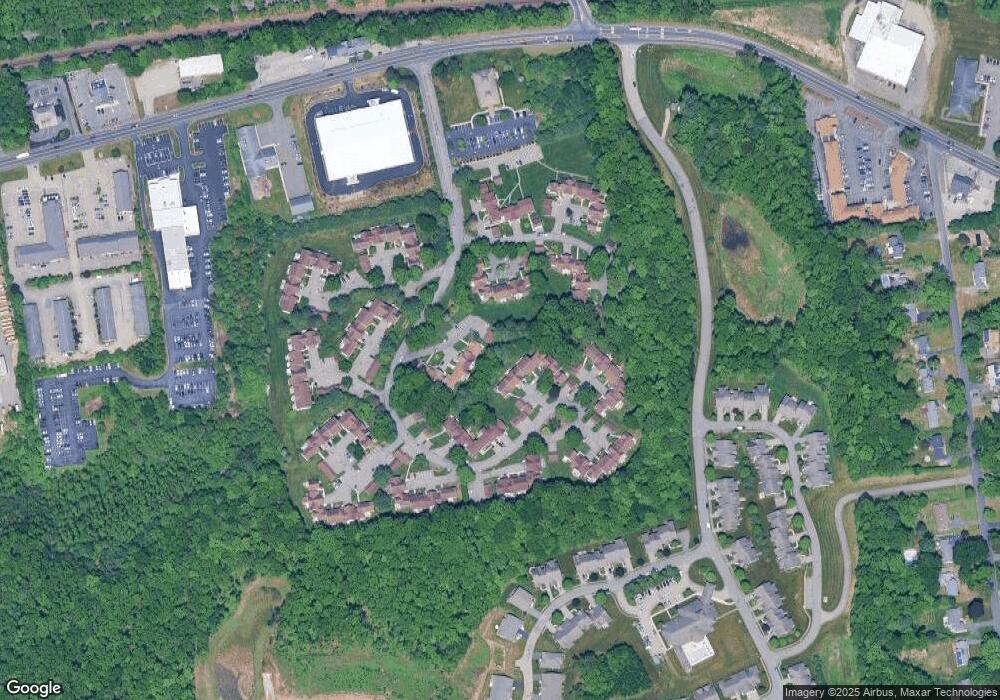
Map
Nearby Homes
- 2205 Boston Rd Unit I 82
- 116 Cherry Dr Unit 116
- 24 Lodge Ln Unit 24
- 19 Linwood Dr
- 8 Glenn Dr
- 10 Forest Glade Dr
- 37 Franklin St
- 415 Winsor St
- 344 Stony Hill Rd
- 24 Dumaine St
- 26 Sandalwood Dr
- 57 Sandalwood Dr Unit site 61
- 111 Sandalwood Dr Unit site 00
- 6 Teak Terrace Unit 24
- 89-91 Stony Hill Rd
- 103 Sandalwood Dr Unit site 00
- 99 Sandalwood Dr Unit site 00
- 45 Meadow St
- 6V Melikian Dr
- 287 East St
- 2205 Boston Rd Unit N137
- 2205 Boston Rd Unit N136
- 2205 Boston Rd Unit N135B
- 2205 Boston Rd Unit N135A
- 2205 Boston Rd Unit N134
- 2205 Boston Rd Unit N133
- 2205 Boston Rd Unit N132
- 2205 Boston Rd Unit N131
- 2205 Boston Rd Unit N130
- 2205 Boston Rd Unit N129
- 2205 Boston Rd Unit N128
- 2205 Boston Rd Unit Q169
- 2205 Boston Rd Unit Q168
- 2205 Boston Rd Unit Q167
- 2205 Boston Rd Unit Q166
- 2205 Boston Rd Unit Q165
- 2205 Boston Rd Unit Q164
- 2205 Boston Rd Unit Q163
- 2205 Boston Rd Unit Q162
- 2205 Boston Rd Unit Q161