2205 Burnside Rd Sebastopol, CA 95472
Estimated Value: $1,361,000 - $1,811,000
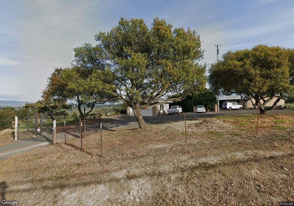
About This Home
This home is located at 2205 Burnside Rd, Sebastopol, CA 95472 and is currently estimated at $1,550,615, approximately $501 per square foot. 2205 Burnside Rd is a home located in Sonoma County with nearby schools including Apple Blossom School, Analy High School, and Twin Hills Charter Middle School.
Ownership History
We collect this data history from publicly available records. To have your information removed, we recommend requesting removal directly through your county’s website.
Purchase Details
Home Financials for this Owner
Home Financials are based on the most recent Mortgage that was taken out on this home.Purchase Details
Home Financials for this Owner
Home Financials are based on the most recent Mortgage that was taken out on this home.Purchase History
We collect this data history from publicly available records. To have your information removed, we recommend requesting removal directly through your county’s website.
| Date | Buyer | Sale Price | Title Company |
|---|---|---|---|
| -- | Stewart Title Of California | ||
| -- | North Bay Title Co |
Mortgage History
We collect this data history from publicly available records. To have your information removed, we recommend requesting removal directly through your county’s website.
| Date | Status | Borrower | Loan Amount |
|---|---|---|---|
| Closed | $383,000 | ||
| Closed | $217,000 | ||
| Closed | $124,000 |
Tax History
We collect this data history from publicly available records. To have your information removed, we recommend requesting removal directly through your county’s website.
| Year | Tax Paid | Tax Assessment Tax Assessment Total Assessment is a certain percentage of the fair market value that is determined by local assessors to be the total taxable value of land and additions on the property. | Land | Improvement |
|---|---|---|---|---|
| 2025 | $2,851 | $222,781 | $40,139 | $182,642 |
| 2024 | $2,851 | $218,413 | $39,352 | $179,061 |
| 2023 | $2,851 | $214,131 | $38,581 | $175,550 |
| 2022 | $2,731 | $209,933 | $37,825 | $172,108 |
| 2021 | $2,690 | $205,818 | $37,084 | $168,734 |
| 2020 | $2,739 | $203,708 | $36,704 | $167,004 |
| 2019 | $2,463 | $199,715 | $35,985 | $163,730 |
| 2018 | $2,425 | $195,800 | $35,280 | $160,520 |
| 2017 | $2,326 | $191,962 | $34,589 | $157,373 |
| 2016 | $2,282 | $188,199 | $33,911 | $154,288 |
| 2015 | $2,213 | $185,373 | $33,402 | $151,971 |
| 2014 | $2,171 | $181,743 | $32,748 | $148,995 |
Map
- 1426 Darby Rd
- 2630 Burnside Rd
- 431 Sexton Rd
- 1281 Tilton Rd
- 755 Watertrough Rd
- 529 Wagnon Rd
- 189 Wagnon Rd
- 683 Wagnon Rd
- 573 Wagnon Rd
- 805 Wagnon Rd
- 2019 Pleasant Hill Rd
- 750 Wagnon Rd
- 0 Bodega Hwy
- 940 Ferguson Rd
- 691 Ferguson Rd
- 9275 Ferguson Ct
- 8030 Elphick Rd
- 455 Sequoia Ln
- 7804 Anthony St
- 7960 Bella Vista Dr
- 2211 Burnside Rd
- 2230 Burnside Rd
- 2200 Burnside Rd
- 2387 Burnside Rd
- 1286 Sexton Rd
- 2077 Burnside Rd
- 2391 Burnside Rd
- 2324 Burnside Rd
- 2021 Burnside Rd
- 2385 Burnside Rd
- 2385 Burnside Rd
- 2334 Burnside Rd
- 2039 Burnside Rd
- 2011 Burnside Rd
- 2405 Burnside Rd
- 1999 Burnside Rd
- 1987 Burnside Rd
- 1400 W Sexton Rd
- 1983 Burnside Rd
- 1991 Burnside Rd
Ask me questions while you tour the home.