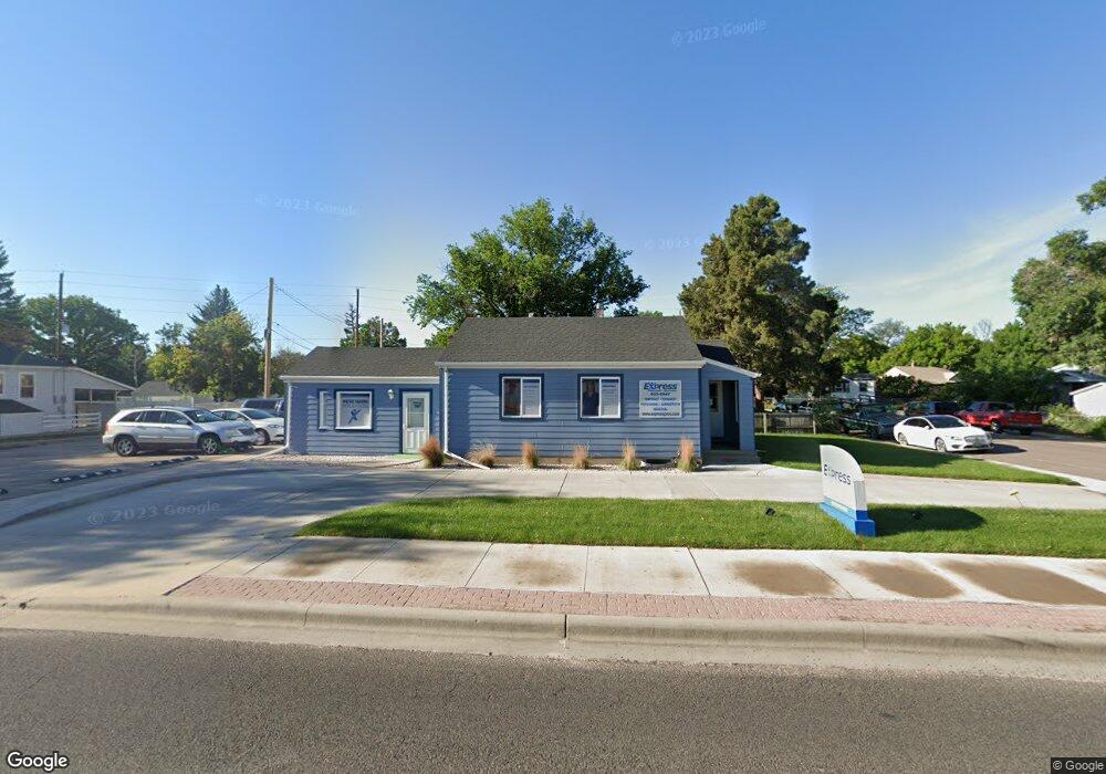
2205 E Pershing Blvd Cheyenne, WY 82001
Estimated Value: $220,283
Studio
1
Bath
2,208
Sq Ft
$100/Sq Ft
Est. Value
About This Home
This home is located at 2205 E Pershing Blvd, Cheyenne, WY 82001 and is currently estimated at $220,283, approximately $99 per square foot. 2205 E Pershing Blvd is a home located in Laramie County with nearby schools including Alta Vista Elementary School, Carey Junior High School, and East High School.
Ownership History
Date
Name
Owned For
Owner Type
Purchase Details
Closed on
Feb 17, 2017
Sold by
Kjack Dale A and Kjack Dale A
Bought by
Ashworth Patrick N and Ashworth Renee M
Current Estimated Value
Home Financials for this Owner
Home Financials are based on the most recent Mortgage that was taken out on this home.
Original Mortgage
$104,000
Outstanding Balance
$86,108
Interest Rate
4.2%
Mortgage Type
Commercial
Estimated Equity
$136,853
Purchase Details
Closed on
Jan 5, 1979
Sold by
Visca Louis J
Bought by
Kjack Dale A
Create a Home Valuation Report for This Property
The Home Valuation Report is an in-depth analysis detailing your home's value as well as a comparison with similar homes in the area
Purchase History
| Date | Buyer | Sale Price | Title Company |
|---|---|---|---|
| Ashworth Patrick N | -- | None Available | |
| Kjack Dale A | -- | -- |
Source: Public Records
Mortgage History
| Date | Status | Borrower | Loan Amount |
|---|---|---|---|
| Open | Ashworth Patrick N | $104,000 |
Source: Public Records
Tax History
| Year | Tax Paid | Tax Assessment Tax Assessment Total Assessment is a certain percentage of the fair market value that is determined by local assessors to be the total taxable value of land and additions on the property. | Land | Improvement |
|---|---|---|---|---|
| 2025 | $1,994 | $28,410 | $3,407 | $25,003 |
| 2024 | $1,994 | $28,196 | $3,407 | $24,789 |
| 2023 | $1,946 | $27,520 | $3,407 | $24,113 |
| 2022 | $1,802 | $24,961 | $3,407 | $21,554 |
| 2021 | $1,535 | $21,226 | $3,407 | $17,819 |
| 2020 | $1,200 | $16,631 | $3,407 | $13,224 |
| 2019 | $1,168 | $16,174 | $3,407 | $12,767 |
| 2018 | $1,040 | $14,538 | $2,571 | $11,967 |
| 2017 | $1,013 | $14,036 | $2,571 | $11,465 |
| 2016 | $967 | $13,389 | $2,482 | $10,907 |
| 2015 | $819 | $11,344 | $2,482 | $8,862 |
| 2014 | $822 | $11,312 | $2,482 | $8,830 |
Source: Public Records
Map
Nearby Homes
- 1910 E 22nd St
- 1907 E Pershing Blvd
- 1851 E Pershing Blvd
- 2111 Garrett St
- 1841 Crook Ave
- 1902 Cheyenne Place
- TBD Charles St
- 2533 Deming Blvd
- 1813 E 19th St
- 2123 E 18th St
- 2008 E 17th St
- 1763 Milton Dr
- 1911 E 17th St
- 1770 Cheshire Dr
- 1410 Carbon Ave Unit A-D
- 1823 Lilac Ct
- 1605 E 16th St
- 1518 Hot Springs Ave
- 1406 E 19th St
- 1410 E 17th St
- 1915 Carbon Ave
- 2211 E Pershing Blvd
- 1911 Carbon Ave
- 2215 E Pershing Blvd
- 2216 Carbon Ave
- 2012 E 22nd St
- 2202 E Pershing Blvd
- 2221 E Pershing Blvd
- 2208 E Pershing Blvd
- 2212 E Pershing Blvd
- 1976 E Pershing Blvd
- 2015 E 22nd St
- 2008 E 22nd St
- 2206 E 19th St
- 2210 E 19th St
- 2200 E 19th St
- 2225 E Pershing Blvd
- 2001 E Pershing Blvd
- 2214 E 19th St
- 2216 E Pershing Blvd
Your Personal Tour Guide
Ask me questions while you tour the home.