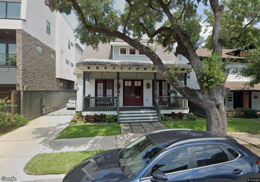
2205 Hazard St Houston, TX 77019
Montrose NeighborhoodEstimated Value: $774,000 - $930,105
4
Beds
3
Baths
2,665
Sq Ft
$329/Sq Ft
Est. Value
About This Home
This home is located at 2205 Hazard St, Houston, TX 77019 and is currently estimated at $876,026, approximately $328 per square foot. 2205 Hazard St is a home located in Harris County with nearby schools including Baker Montessori, Lanier Middle School, and Lamar High School.
Ownership History
Date
Name
Owned For
Owner Type
Purchase Details
Closed on
Mar 15, 2021
Sold by
Jackson Edward Joseph
Bought by
Schmal Thomas W and Schmal Joan Bridget
Current Estimated Value
Purchase Details
Closed on
Jan 23, 2012
Sold by
5177 Builders Ld
Bought by
Schmal Tom and Schmal Bridget
Purchase Details
Closed on
Mar 28, 2011
Sold by
Gay Reed J
Bought by
5177 Builders Ltd
Purchase Details
Closed on
Mar 21, 2001
Sold by
Parsell Norma J
Bought by
Gay Reed J
Home Financials for this Owner
Home Financials are based on the most recent Mortgage that was taken out on this home.
Original Mortgage
$95,000
Interest Rate
6.95%
Create a Home Valuation Report for This Property
The Home Valuation Report is an in-depth analysis detailing your home's value as well as a comparison with similar homes in the area
Home Values in the Area
Average Home Value in this Area
Purchase History
| Date | Buyer | Sale Price | Title Company |
|---|---|---|---|
| Schmal Thomas W | -- | None Listed On Document | |
| Schmal Tom | -- | Kirby Title Llc | |
| 5177 Builders Ltd | -- | Kirby Title Llc | |
| Gay Reed J | -- | American Title Co |
Source: Public Records
Mortgage History
| Date | Status | Borrower | Loan Amount |
|---|---|---|---|
| Previous Owner | Gay Reed J | $95,000 |
Source: Public Records
Tax History Compared to Growth
Tax History
| Year | Tax Paid | Tax Assessment Tax Assessment Total Assessment is a certain percentage of the fair market value that is determined by local assessors to be the total taxable value of land and additions on the property. | Land | Improvement |
|---|---|---|---|---|
| 2025 | $7,634 | $967,211 | $590,000 | $377,211 |
| 2024 | $7,634 | $868,966 | $590,000 | $278,966 |
| 2023 | $7,634 | $908,832 | $590,000 | $318,832 |
| 2022 | $18,644 | $846,716 | $519,200 | $327,516 |
| 2021 | $18,732 | $803,718 | $448,400 | $355,318 |
| 2020 | $21,044 | $883,941 | $470,820 | $413,121 |
| 2019 | $19,991 | $790,000 | $470,820 | $319,180 |
| 2018 | $11,321 | $765,373 | $406,392 | $358,981 |
| 2017 | $20,034 | $755,000 | $406,392 | $348,608 |
| 2016 | $20,565 | $775,000 | $406,392 | $368,608 |
| 2015 | $11,038 | $786,604 | $406,392 | $380,212 |
| 2014 | $11,038 | $660,081 | $337,008 | $323,073 |
Source: Public Records
Map
Nearby Homes
- 2309 Driscoll St
- 2103 Hazard St
- 2026 Morse St
- 2112 Mcduffie St
- 2008 Hazard St
- 2003 Morse St
- 2011 Woodhead St
- 2117 Huldy St
- 2113 Huldy St
- 2119 Huldy St
- 2115 Huldy St
- 2505 Mcduffie St Unit B
- 2315 Huldy St
- 2027 Huldy St
- 2314 Park St
- 2415 Elmen St
- 1906 Woodhead St
- 1909 Brun St Unit 17
- 1909 Brun St Unit 16
- 2508 Brun St
- 2121 Hazard St
- 2209 Hazard St
- 2209 Hazard St Unit A
- 2209 Hazard St Unit A
- 2209 Hazard St Unit B
- 2211 Hazard St
- 2119 Hazard St
- 2117 1/2 Hazard St
- 2213 Hazard St
- 2208 Driscoll St
- 2117 Hazard St
- 2117 Hazard St Unit n/a
- 2202 Driscoll St
- 2210 Driscoll St
- 2206 Driscoll St Unit C
- 2206 Driscoll St Unit D
- 2206 Driscoll St Unit B
- 2206 Driscoll St
- 2206 Driscoll St Unit A
- 2214 Driscoll St