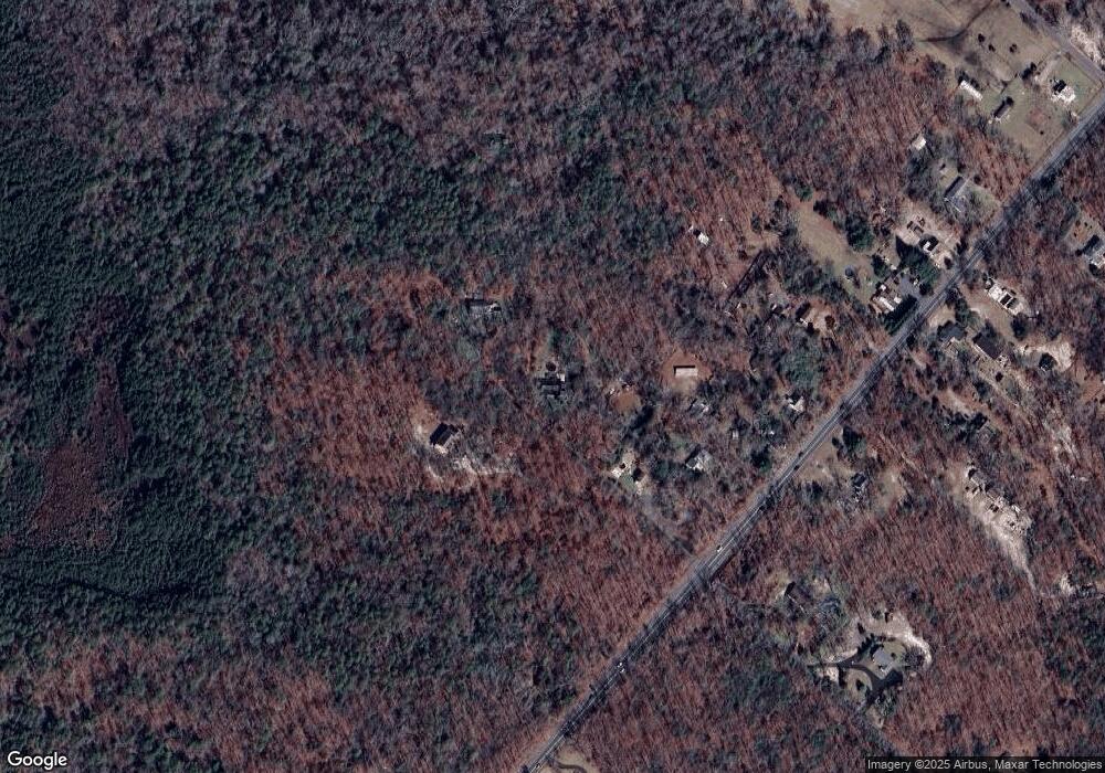
2205 Route 50 Mays Landing, NJ 08330
Estimated Value: $376,000 - $456,000
--
Bed
--
Bath
1,898
Sq Ft
$226/Sq Ft
Est. Value
About This Home
This home is located at 2205 Route 50, Mays Landing, NJ 08330 and is currently estimated at $428,018, approximately $225 per square foot. 2205 Route 50 is a home located in Atlantic County with nearby schools including Joseph Shaner School, George L. Hess Educational Complex, and William Davies Middle School.
Ownership History
Date
Name
Owned For
Owner Type
Purchase Details
Closed on
Jun 15, 2007
Sold by
Connor Kelley J and Kleshick Patricia
Bought by
Rowley Shawn and Rowley Jean
Current Estimated Value
Home Financials for this Owner
Home Financials are based on the most recent Mortgage that was taken out on this home.
Original Mortgage
$272,500
Interest Rate
6.21%
Mortgage Type
Purchase Money Mortgage
Purchase Details
Closed on
Jul 19, 2005
Sold by
Demoulin Louis L and Demoulin Ellen T
Bought by
Connor Kelley J and Kleshick Patricia I
Home Financials for this Owner
Home Financials are based on the most recent Mortgage that was taken out on this home.
Original Mortgage
$242,400
Interest Rate
7.25%
Mortgage Type
Fannie Mae Freddie Mac
Purchase Details
Closed on
Aug 27, 1992
Sold by
Demoulin Ellen T
Bought by
Demoulin Ellen T and Demoulin Louis L
Purchase Details
Closed on
Oct 19, 1989
Sold by
Newman Loretta Zywicki and Newman George F
Bought by
Demoulin Ellen T
Create a Home Valuation Report for This Property
The Home Valuation Report is an in-depth analysis detailing your home's value as well as a comparison with similar homes in the area
Home Values in the Area
Average Home Value in this Area
Purchase History
| Date | Buyer | Sale Price | Title Company |
|---|---|---|---|
| Rowley Shawn | $317,500 | Commonwealth Land Title Insu | |
| Connor Kelley J | $303,000 | The Title Company Of Jersey | |
| Demoulin Ellen T | -- | -- | |
| Demoulin Ellen T | $127,000 | -- |
Source: Public Records
Mortgage History
| Date | Status | Borrower | Loan Amount |
|---|---|---|---|
| Previous Owner | Rowley Shawn | $272,500 | |
| Previous Owner | Connor Kelley J | $242,400 |
Source: Public Records
Tax History Compared to Growth
Tax History
| Year | Tax Paid | Tax Assessment Tax Assessment Total Assessment is a certain percentage of the fair market value that is determined by local assessors to be the total taxable value of land and additions on the property. | Land | Improvement |
|---|---|---|---|---|
| 2025 | $7,401 | $215,700 | $42,900 | $172,800 |
| 2024 | $7,401 | $215,700 | $42,900 | $172,800 |
| 2023 | $6,958 | $215,700 | $42,900 | $172,800 |
| 2022 | $6,958 | $215,700 | $42,900 | $172,800 |
| 2021 | $6,943 | $215,700 | $42,900 | $172,800 |
| 2020 | $6,943 | $215,700 | $42,900 | $172,800 |
| 2019 | $6,961 | $215,700 | $42,900 | $172,800 |
| 2018 | $6,717 | $215,700 | $42,900 | $172,800 |
| 2017 | $6,611 | $215,700 | $42,900 | $172,800 |
| 2016 | $6,426 | $215,700 | $42,900 | $172,800 |
| 2015 | $6,208 | $215,700 | $42,900 | $172,800 |
| 2014 | $6,124 | $233,100 | $49,100 | $184,000 |
Source: Public Records
Map
Nearby Homes
- Rt 50 and Cedar
- 2323 Columbia Rd
- 000 Apple St
- 0 Apple St
- 5761 Cedar Ave
- 5926 Berry Dr
- 5910 Redwood Ct
- 5906 Vine Dr
- 6286 Pine St
- 5910 Somerset Dr
- 5744 Oak St
- 55 Lewis Dr
- 2406 Oslo Ave
- 40 Vender Ln
- 18 Lewis Dr
- 94 Merlino Ln
- 0 Cleveland Ave
- Rt 50 and Old Mays Landing Rd
- 5751 Laurel St
- Bl 531 Lot 8&9 Adams Ave