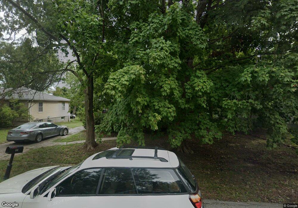
2205 S Ellison Way Independence, MO 64050
Queen City NeighborhoodEstimated Value: $187,000 - $194,000
3
Beds
1
Bath
1,248
Sq Ft
$153/Sq Ft
Est. Value
About This Home
This home is located at 2205 S Ellison Way, Independence, MO 64050 and is currently estimated at $190,755, approximately $152 per square foot. 2205 S Ellison Way is a home located in Jackson County with nearby schools including Glendale Elementary School, Bridger Middle School, and Bingham Middle School.
Ownership History
Date
Name
Owned For
Owner Type
Purchase Details
Closed on
Feb 4, 2022
Sold by
Gillespie Kenneth W
Bought by
Cbk Land Holdings Llc
Current Estimated Value
Purchase Details
Closed on
Apr 6, 2009
Sold by
Deutsche Bank National Trust Company
Bought by
Gillespie Kenneth W and Gillespie Carl E
Purchase Details
Closed on
May 12, 2008
Sold by
Stratton Barbara J
Bought by
Deutsche Bank National Trust Co
Create a Home Valuation Report for This Property
The Home Valuation Report is an in-depth analysis detailing your home's value as well as a comparison with similar homes in the area
Home Values in the Area
Average Home Value in this Area
Purchase History
| Date | Buyer | Sale Price | Title Company |
|---|---|---|---|
| Cbk Land Holdings Llc | -- | None Listed On Document | |
| Cbk Land Holdings Llc | -- | None Listed On Document | |
| Gillespie Kenneth W | -- | Continental Title Company | |
| Deutsche Bank National Trust Co | $57,750 | None Available |
Source: Public Records
Tax History Compared to Growth
Tax History
| Year | Tax Paid | Tax Assessment Tax Assessment Total Assessment is a certain percentage of the fair market value that is determined by local assessors to be the total taxable value of land and additions on the property. | Land | Improvement |
|---|---|---|---|---|
| 2025 | $1,546 | $22,614 | $6,061 | $16,553 |
| 2024 | $1,511 | $22,312 | $4,495 | $17,817 |
| 2023 | $1,511 | $22,312 | $1,334 | $20,978 |
| 2022 | $1,263 | $17,100 | $3,012 | $14,088 |
| 2021 | $1,263 | $17,100 | $3,012 | $14,088 |
| 2020 | $1,239 | $16,300 | $3,012 | $13,288 |
| 2019 | $1,219 | $16,300 | $3,012 | $13,288 |
| 2018 | $1,069 | $13,645 | $2,661 | $10,984 |
| 2017 | $1,052 | $13,645 | $2,661 | $10,984 |
| 2016 | $1,052 | $13,303 | $2,740 | $10,563 |
| 2014 | $999 | $12,916 | $2,660 | $10,256 |
Source: Public Records
Map
Nearby Homes
- 2100 & 2105 S Ellison Way
- 1909 S Ellison Way
- 2100 James Downey Rd
- 2008 S Lees Summit Rd
- 2530 Queen Ridge Dr
- 2501 S R D Mize Rd
- 1800 S M 291 Hwy
- 16805 Sunset Dr
- 1525 E Sea Ave Unit B
- 17813 Aqueduct Dr
- 17824 Greentree Ave
- 1109 S Woodbury St
- 2608 Baker Rd
- 1202 E 23rd St S
- 2822 Baker Rd
- 2714 S Brentwood Dr S
- 1200 E Stone St
- 17904 E Whitney Rd S
- 2737 S Breckenridge Dr
- 1425 S Kings Hwy
- 2203 S Ellison Way
- 2207 S Ellison Way
- 2201 S Ellison Way
- 2209 S Ellison Way
- 2202 S Ellison Way
- 2204 S Ellison Way
- 2211 S Ellison Way
- 2212 S Ellison Way
- 2200 S Ellison Way
- 2124 S Ellison Way
- 2122 S Ellison Way
- 2116 S Ellison Way
- 2114 S Ellison Way
- 16306 E 23rd St S
- 2112 S Ellison Way
- 2113 S Ellison Way
- 2110 S Ellison Way
- 2110 S Ellison Way
- 16311 E 23rd St S
- 2108 S Ellison Way