2205 Silver Palm Rd North Port, FL 34288
Estimated Value: $515,000 - $607,000
3
Beds
3
Baths
2,405
Sq Ft
$229/Sq Ft
Est. Value
About This Home
This home is located at 2205 Silver Palm Rd, North Port, FL 34288 and is currently estimated at $550,689, approximately $228 per square foot. 2205 Silver Palm Rd is a home located in Sarasota County with nearby schools including Toledo Blade Elementary School, North Port High School, and Woodland Middle School.
Ownership History
Date
Name
Owned For
Owner Type
Purchase Details
Closed on
Apr 27, 2022
Sold by
Nienow Richard V and Nienow Rita R
Bought by
Stanley Ann Marie and Mckinnon Stephanie Rae
Current Estimated Value
Purchase Details
Closed on
May 31, 2001
Sold by
Fero Const Inc
Bought by
Nienow Richard V and Nienow Rita R
Home Financials for this Owner
Home Financials are based on the most recent Mortgage that was taken out on this home.
Original Mortgage
$55,600
Interest Rate
7.11%
Purchase Details
Closed on
Jan 22, 2001
Sold by
Crum Frederick E and Crum Barbara A
Bought by
Fero Const Inc
Create a Home Valuation Report for This Property
The Home Valuation Report is an in-depth analysis detailing your home's value as well as a comparison with similar homes in the area
Home Values in the Area
Average Home Value in this Area
Purchase History
| Date | Buyer | Sale Price | Title Company |
|---|---|---|---|
| Stanley Ann Marie | -- | None Listed On Document | |
| Nienow Richard V | $69,600 | -- | |
| Fero Const Inc | $45,000 | -- |
Source: Public Records
Mortgage History
| Date | Status | Borrower | Loan Amount |
|---|---|---|---|
| Previous Owner | Nienow Richard V | $55,600 |
Source: Public Records
Tax History Compared to Growth
Tax History
| Year | Tax Paid | Tax Assessment Tax Assessment Total Assessment is a certain percentage of the fair market value that is determined by local assessors to be the total taxable value of land and additions on the property. | Land | Improvement |
|---|---|---|---|---|
| 2024 | $6,391 | $300,768 | -- | -- |
| 2023 | $6,391 | $292,008 | $0 | $0 |
| 2022 | $6,239 | $285,503 | $0 | $0 |
| 2021 | $6,072 | $268,547 | $0 | $0 |
| 2020 | $6,038 | $264,839 | $0 | $0 |
| 2019 | $5,946 | $258,885 | $0 | $0 |
| 2018 | $5,750 | $254,058 | $0 | $0 |
| 2017 | $5,552 | $248,833 | $0 | $0 |
| 2016 | $5,619 | $282,600 | $50,100 | $232,500 |
| 2015 | $5,696 | $253,900 | $36,400 | $217,500 |
| 2014 | $5,504 | $236,737 | $0 | $0 |
Source: Public Records
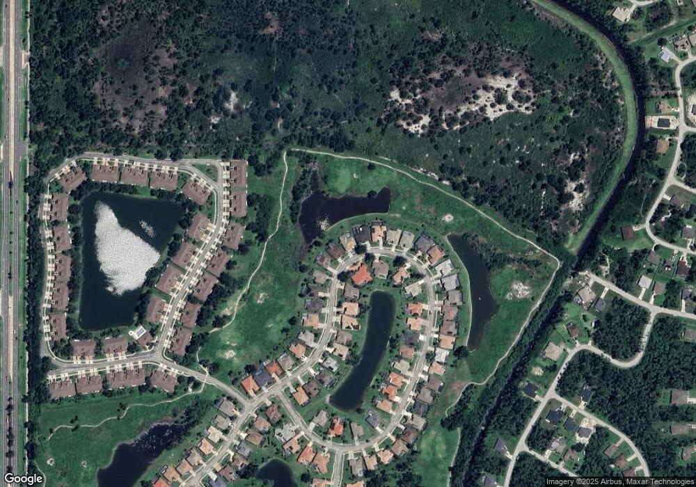
Map
Nearby Homes
- 2304 Silver Palm Rd
- 2061 Lynx Run
- 2024 Lynx Run
- 2025 Lynx Run
- 2388 Silver Palm Rd
- 1855 Silver Palm Rd
- 1883 Canary Palm Way
- 1875 Canary Palm Way
- 1238 Fishtail Palm Ct
- 0 Rufus Rd Unit MFRTB8429498
- 0 Rufus Rd Unit MFRTB8429490
- 0 Rufus Rd Unit MFRA4650449
- 0 Rufus Rd Unit MFRA4646759
- 0 Rufus Rd Unit MFRC7488109
- 2969 Blocton Rd
- 0 Gourmet Rd Unit MFRN6139322
- 0 Gourmet Rd Unit A4544969
- 3049 Seth Rd
- Lot 18, Rolling Rd
- Lot 29 Gourmet Rd
- 2191 Silver Palm Rd
- 2219 Silver Palm Rd
- 2177 Silver Palm Rd
- 2233 Silver Palm Rd
- 2218 Silver Palm Rd
- 2176 Silver Palm Rd
- 2163 Silver Palm Rd
- 2247 Silver Palm Rd
- 2254 Silver Palm Rd
- 2149 Silver Palm Rd
- 2142 Silver Palm Rd
- 2261 Silver Palm Rd
- 2270 Silver Palm Rd
- 2275 Silver Palm Rd
- 2135 Silver Palm Rd
- 2100 Silver Palm Rd
- 2121 Silver Palm Rd
- 2289 Silver Palm Rd
- 2068 Silver Palm Rd
- 2298 Silver Palm Rd