2205 West Point Rd Lancaster, OH 43130
Estimated Value: $364,000 - $419,722
3
Beds
3
Baths
1,814
Sq Ft
$214/Sq Ft
Est. Value
About This Home
This home is located at 2205 West Point Rd, Lancaster, OH 43130 and is currently estimated at $387,431, approximately $213 per square foot. 2205 West Point Rd is a home located in Fairfield County with nearby schools including Bremen Elementary School and Fairfield Union High School.
Ownership History
Date
Name
Owned For
Owner Type
Purchase Details
Closed on
Jul 7, 2004
Sold by
Martin Jerry O and Martin Patricia J
Bought by
Verdow David C and Verdow Julie A
Current Estimated Value
Home Financials for this Owner
Home Financials are based on the most recent Mortgage that was taken out on this home.
Original Mortgage
$175,610
Outstanding Balance
$87,453
Interest Rate
6.39%
Mortgage Type
VA
Estimated Equity
$299,978
Purchase Details
Closed on
Mar 19, 1991
Create a Home Valuation Report for This Property
The Home Valuation Report is an in-depth analysis detailing your home's value as well as a comparison with similar homes in the area
Home Values in the Area
Average Home Value in this Area
Purchase History
| Date | Buyer | Sale Price | Title Company |
|---|---|---|---|
| Verdow David C | $171,000 | Hocking Valley Title Agency | |
| -- | $10,500 | -- |
Source: Public Records
Mortgage History
| Date | Status | Borrower | Loan Amount |
|---|---|---|---|
| Open | Verdow David C | $175,610 |
Source: Public Records
Tax History Compared to Growth
Tax History
| Year | Tax Paid | Tax Assessment Tax Assessment Total Assessment is a certain percentage of the fair market value that is determined by local assessors to be the total taxable value of land and additions on the property. | Land | Improvement |
|---|---|---|---|---|
| 2024 | $6,889 | $90,230 | $17,510 | $72,720 |
| 2023 | $3,479 | $88,880 | $17,510 | $71,370 |
| 2022 | $3,480 | $88,880 | $17,510 | $71,370 |
| 2021 | $3,039 | $71,070 | $16,680 | $54,390 |
| 2020 | $2,976 | $71,070 | $16,680 | $54,390 |
| 2019 | $2,908 | $70,790 | $16,680 | $54,110 |
| 2018 | $2,501 | $58,980 | $16,680 | $42,300 |
| 2017 | $2,501 | $58,980 | $16,680 | $42,300 |
| 2016 | $2,465 | $58,980 | $16,680 | $42,300 |
| 2015 | $2,432 | $57,290 | $16,680 | $40,610 |
| 2014 | $2,328 | $57,290 | $16,680 | $40,610 |
| 2013 | $2,328 | $57,290 | $16,680 | $40,610 |
Source: Public Records
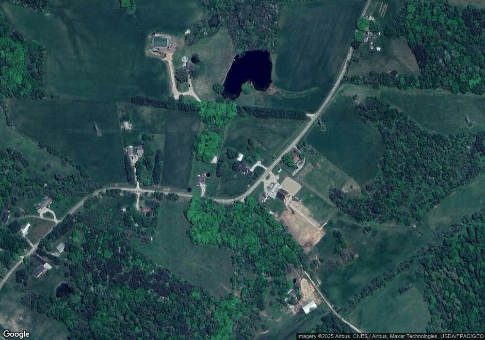
Map
Nearby Homes
- 2145 W Point Rd SE
- 2445 Pumpkin Vine Rd SE
- 298 Tillamook Ln
- 1893 Beaver Ln
- 849 Papago Ln
- 770 W Marietta Rd SE
- 736 Sleigh Hill Ct
- 524 Marietta St
- 0 Paradise Rd Unit 225035600
- 220 Oak St
- 2098 Maya Ln
- 5440 Borah Hill Rd
- 144 Hide-A-way Rd
- 9760 Marietta Rd SE
- 8050 Marietta Rd SE
- 1201 Taos Ln
- 204 N Mulberry St
- 261 Northridge Dr
- 510 Natchez Ln
- 104 E Main St
- 2205 W Point Rd SE
- 2190 W Point Rd SE
- 2190 W Point Rd SE
- 2210 W Point Rd SE
- 2255 W Point Rd SE
- 2255 W Point Rd SE
- 2225 W Point Rd SE
- 2259 West Point Rd
- 2252 W Point Rd SE
- 2145 W Point Rd SE
- 2320 West Point Rd
- 2273 West Point Rd
- 2320 W Point Rd SE
- 1841 W Point Rd SE
- 1841 W Point Rd SE
- 1841 W Point Rd SE
- 2330 W Point Rd SE
- 2275 W Point Rd SE
- 1840 W Point Rd SE
- 1840 W Point Road Lancaster