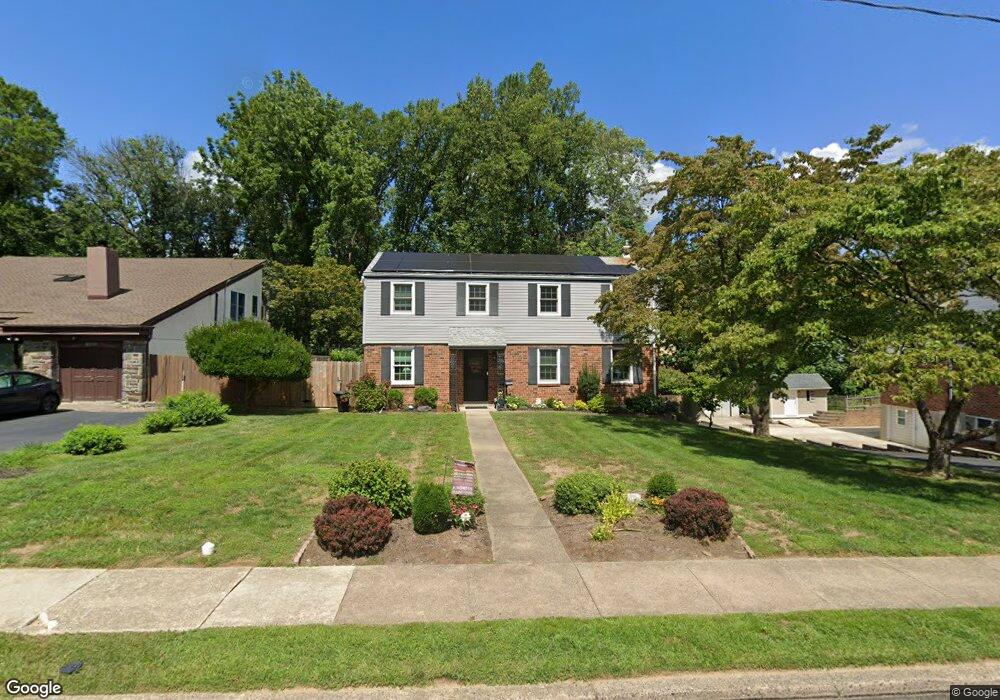
2205 Windsor Cir Broomall, PA 19008
Estimated Value: $577,500 - $652,000
4
Beds
3
Baths
1,950
Sq Ft
$310/Sq Ft
Est. Value
About This Home
This home is located at 2205 Windsor Cir, Broomall, PA 19008 and is currently estimated at $604,125, approximately $309 per square foot. 2205 Windsor Cir is a home located in Delaware County with nearby schools including Russell Elementary School, Paxon Hollow Middle School, and Marple Newtown Senior High School.
Ownership History
Date
Name
Owned For
Owner Type
Purchase Details
Closed on
Oct 30, 1997
Sold by
Fischer Dianne R and Fischer Michael Holly
Bought by
Boyd Darrell F and Boyd Cynthia D
Current Estimated Value
Home Financials for this Owner
Home Financials are based on the most recent Mortgage that was taken out on this home.
Original Mortgage
$140,000
Outstanding Balance
$22,875
Interest Rate
7.23%
Estimated Equity
$581,250
Create a Home Valuation Report for This Property
The Home Valuation Report is an in-depth analysis detailing your home's value as well as a comparison with similar homes in the area
Home Values in the Area
Average Home Value in this Area
Purchase History
| Date | Buyer | Sale Price | Title Company |
|---|---|---|---|
| Boyd Darrell F | $175,000 | -- |
Source: Public Records
Mortgage History
| Date | Status | Borrower | Loan Amount |
|---|---|---|---|
| Open | Boyd Darrell F | $140,000 |
Source: Public Records
Tax History Compared to Growth
Tax History
| Year | Tax Paid | Tax Assessment Tax Assessment Total Assessment is a certain percentage of the fair market value that is determined by local assessors to be the total taxable value of land and additions on the property. | Land | Improvement |
|---|---|---|---|---|
| 2025 | $6,126 | $354,490 | $112,630 | $241,860 |
| 2024 | $6,126 | $354,490 | $112,630 | $241,860 |
| 2023 | $5,932 | $354,490 | $112,630 | $241,860 |
| 2022 | $5,819 | $354,490 | $112,630 | $241,860 |
| 2021 | $8,782 | $354,490 | $112,630 | $241,860 |
| 2020 | $5,023 | $174,560 | $57,480 | $117,080 |
| 2019 | $4,963 | $174,560 | $57,480 | $117,080 |
| 2018 | $4,911 | $174,560 | $0 | $0 |
| 2017 | $4,914 | $174,560 | $0 | $0 |
| 2016 | $958 | $174,560 | $0 | $0 |
| 2015 | $958 | $174,560 | $0 | $0 |
| 2014 | $958 | $174,560 | $0 | $0 |
Source: Public Records
Map
Nearby Homes
- 2119 Boxwood Dr
- 310 Lewis Rd
- 2611 Woodberry Rd
- 11 Linden Dr
- 2606 Springfield Rd
- 2500 Grant Rd
- 202 Rolling Rd
- 2613 Caranel Rd
- 132 S Sproul Rd
- 126 1st Ave
- 301 S New Ardmore Ave
- 228 S Pkwy
- 2025 S Sproul Rd
- 106 2nd Ave
- 88 4th Ave
- 102 Gibson Ct
- 104 Gibson Ct
- 106 Gibson Ct
- 63 S Greenhill Rd
- 50 Schoolhouse Ln
- 2207 Windsor Cir
- 2203 Windsor Cir
- 2209 Windsor Cir
- 104 Allison Cir
- 2204 Windsor Cir
- 2206 Windsor Cir
- 102 Allison Cir
- 2202 Windsor Cir
- 2211 Windsor Cir
- 106 Allison Cir
- 2208 Windsor Cir
- 2165 Kingswood Ln
- 2210 Windsor Cir
- 1 Allison Dr
- 2200 Windsor Cir
- 2213 Windsor Cir
- 105 Allison Cir
- 2232 Windsor Cir
- 2230 Windsor Cir
- 2212 Windsor Cir