2206 High Point Dr Lake Ariel, PA 18436
Estimated Value: $258,000 - $270,000
3
Beds
2
Baths
1,278
Sq Ft
$206/Sq Ft
Est. Value
About This Home
This home is located at 2206 High Point Dr, Lake Ariel, PA 18436 and is currently estimated at $262,667, approximately $205 per square foot. 2206 High Point Dr is a home located in Wayne County with nearby schools including Western Wayne High School.
Ownership History
Date
Name
Owned For
Owner Type
Purchase Details
Closed on
Mar 3, 2015
Sold by
Acocella Patsy A and Dunleavy Catherine
Bought by
Acocella Patsy A
Current Estimated Value
Purchase Details
Closed on
Oct 23, 2010
Sold by
Long Bennett V and Long Eugenia R
Bought by
Acocella Patsy A and Acocella Kim Marie
Home Financials for this Owner
Home Financials are based on the most recent Mortgage that was taken out on this home.
Original Mortgage
$89,600
Outstanding Balance
$59,187
Interest Rate
4.37%
Mortgage Type
New Conventional
Estimated Equity
$203,480
Create a Home Valuation Report for This Property
The Home Valuation Report is an in-depth analysis detailing your home's value as well as a comparison with similar homes in the area
Home Values in the Area
Average Home Value in this Area
Purchase History
| Date | Buyer | Sale Price | Title Company |
|---|---|---|---|
| Acocella Patsy A | -- | None Available | |
| Acocella Patsy A | $112,000 | None Available |
Source: Public Records
Mortgage History
| Date | Status | Borrower | Loan Amount |
|---|---|---|---|
| Open | Acocella Patsy A | $89,600 |
Source: Public Records
Tax History Compared to Growth
Tax History
| Year | Tax Paid | Tax Assessment Tax Assessment Total Assessment is a certain percentage of the fair market value that is determined by local assessors to be the total taxable value of land and additions on the property. | Land | Improvement |
|---|---|---|---|---|
| 2025 | $2,308 | $142,600 | $30,700 | $111,900 |
| 2024 | $2,194 | $142,600 | $30,700 | $111,900 |
| 2023 | $3,106 | $142,600 | $30,700 | $111,900 |
| 2022 | $2,469 | $104,800 | $16,600 | $88,200 |
| 2021 | $2,408 | $104,800 | $16,600 | $88,200 |
| 2020 | $2,381 | $104,800 | $16,600 | $88,200 |
| 2019 | $2,250 | $104,800 | $16,600 | $88,200 |
| 2018 | $2,237 | $104,800 | $16,600 | $88,200 |
| 2017 | $457 | $104,800 | $16,600 | $88,200 |
| 2016 | $1,709 | $104,800 | $16,600 | $88,200 |
| 2014 | -- | $104,800 | $16,600 | $88,200 |
Source: Public Records
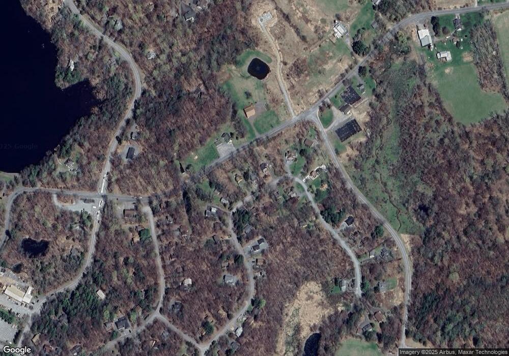
Map
Nearby Homes
- 33 Northgate Ct S
- 16 N Gate Ct S
- 22 Boulder Ct
- 152 Boulder Rd
- 157 Boulder Rd
- 166 Boulder Rd
- 34 Glenwood Ln
- 8 Grandview Ct
- 1208 Lakeview Dr W Unit 368
- 3212 Northgate Rd
- 340 Northgate Rd
- 514 Northgate Rd Unit Lot 3308
- 441 Northgate Rd
- 344 Northgate Rd
- 186 Northgate Rd
- 60 Northgate Rd
- 506 Northgate Rd
- 1228 Lakeview Dr W
- 66 Boulder Rd
- 56 Grandview Dr
- 2233 High Point Dr
- 2235 High Point Dr
- 2234 High Point Dr
- 2232 High Point Dr
- 2255 S. Highpoint Dr
- 2203 High Point Dr
- 2209 High Point Dr
- 61 Highpoint Dr
- 2202 High Point Dr
- 2201 High Point Dr
- 2210 High Point Dr
- 2212 High Point Dr
- 36 Highpoint Dr
- 2237 High Point Dr
- 2200 High Point Dr
- 2238 High Point Dr
- 2199 High Point Dr
- 2187 Northgate Ct S
- 42 N Gate Ct S
- 2198 High Point Dr