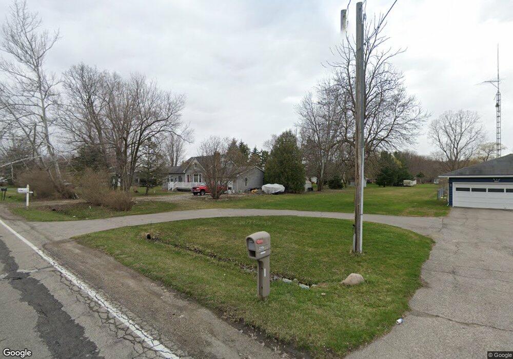
2206 S Vassar Rd Burton, MI 48519
Estimated Value: $221,000 - $283,000
Studio
--
Bath
1,904
Sq Ft
$132/Sq Ft
Est. Value
About This Home
This home is located at 2206 S Vassar Rd, Burton, MI 48519 and is currently estimated at $251,382, approximately $132 per square foot. 2206 S Vassar Rd is a home located in Genesee County with nearby schools including Thomson Elementary School, Gates Elementary School, and Hill Elementary School.
Ownership History
Date
Name
Owned For
Owner Type
Purchase Details
Closed on
Dec 9, 2022
Sold by
Kennedy Dustin N
Bought by
Kennedy Sean and Kennedy Dustin N
Current Estimated Value
Home Financials for this Owner
Home Financials are based on the most recent Mortgage that was taken out on this home.
Original Mortgage
$15,000
Outstanding Balance
$11,850
Interest Rate
6.95%
Mortgage Type
New Conventional
Estimated Equity
$239,532
Purchase Details
Closed on
Aug 9, 2002
Sold by
Knox Alfred E and Knox Dolores Lahoma
Bought by
Alfred E & Dolores Lahoma Knox Revocable
Create a Home Valuation Report for This Property
The Home Valuation Report is an in-depth analysis detailing your home's value as well as a comparison with similar homes in the area
Home Values in the Area
Average Home Value in this Area
Purchase History
| Date | Buyer | Sale Price | Title Company |
|---|---|---|---|
| Kennedy Sean | -- | -- | |
| Alfred E & Dolores Lahoma Knox Revocable | -- | -- |
Source: Public Records
Mortgage History
| Date | Status | Borrower | Loan Amount |
|---|---|---|---|
| Open | Kennedy Sean | $15,000 |
Source: Public Records
Tax History
| Year | Tax Paid | Tax Assessment Tax Assessment Total Assessment is a certain percentage of the fair market value that is determined by local assessors to be the total taxable value of land and additions on the property. | Land | Improvement |
|---|---|---|---|---|
| 2025 | $3,448 | $124,100 | $0 | $0 |
| 2024 | $2,350 | $121,700 | $0 | $0 |
| 2023 | $2,317 | $116,400 | $0 | $0 |
| 2022 | $0 | $98,000 | $0 | $0 |
| 2021 | $3,099 | $96,100 | $0 | $0 |
| 2020 | $2,132 | $78,000 | $0 | $0 |
| 2019 | $2,083 | $77,400 | $0 | $0 |
| 2018 | $2,676 | $72,300 | $0 | $0 |
| 2017 | $2,581 | $72,300 | $0 | $0 |
| 2016 | $2,555 | $64,700 | $0 | $0 |
| 2015 | $2,590 | $0 | $0 | $0 |
| 2012 | -- | $53,600 | $53,600 | $0 |
Source: Public Records
Map
Nearby Homes
- 7046 Donelson Trail
- 7079 Houghton Dr
- 0 Schoolcraft Dr
- 2424 S Vassar Rd
- 1507 Transue Ave
- 7244 Schoolcraft Dr
- 2478 Eugene St
- 2031 Woodland Pass
- 6377 E Atherton Rd
- 1388 Transue Ave
- 2231 Champion Ln
- 6209 E Atherton Rd
- 6072 Burton Estates Dr
- 7120 Lapeer Rd
- 2231 Legacy Dr
- 2249 Legacy Dr
- 2216 Legacy Dr
- 2238 Antrim Ct
- 2260 Belsay Rd
- Lot 80 Antrim Dr
- 2196 S Vassar Rd
- 2186 S Vassar Rd
- 2176 S Vassar Rd
- 2217 Stonehedge Ct
- 2166 S Vassar Rd
- 2228 S Vassar Rd
- 2227 Stonehedge Ct
- 2228 Stonehedge Ct
- 2238 Stonehedge Ct
- 2237 Stonehedge Ct
- 2238 S Vassar Rd
- 2215 S Vassar Rd
- 2146 S Vassar Rd
- 2225 S Vassar Rd
- 2248 Stonehedge Ct
- 7034 Schoolcraft Dr
- 7019 Donelson Trail
- 2136 S Vassar Rd
- 2154 S Vassar Rd
- 2264 S Vassar Rd
Your Personal Tour Guide
Ask me questions while you tour the home.