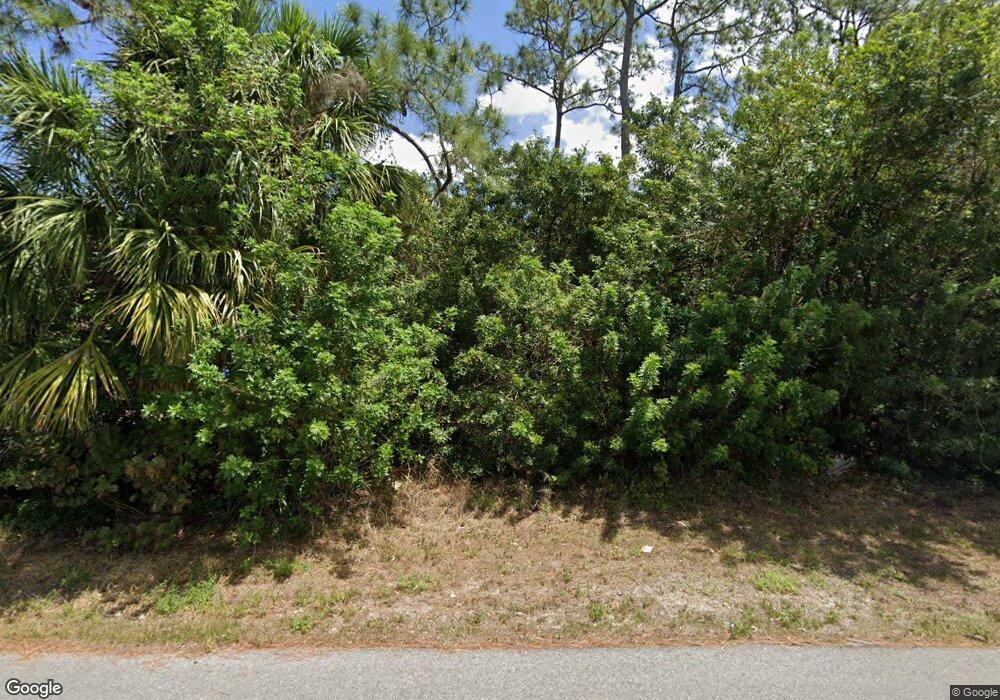
2206 Taunt St Port Charlotte, FL 33948
Estimated Value: $42,000 - $230,000
--
Bed
--
Bath
--
Sq Ft
10,019
Sq Ft Lot
About This Home
This home is located at 2206 Taunt St, Port Charlotte, FL 33948 and is currently estimated at $136,000. 2206 Taunt St is a home located in Charlotte County with nearby schools including Liberty Elementary School, Murdock Middle School, and Port Charlotte High School.
Ownership History
Date
Name
Owned For
Owner Type
Purchase Details
Closed on
Jun 1, 2021
Sold by
Clear Path Llc
Bought by
Hunter Leah
Current Estimated Value
Purchase Details
Closed on
Jul 29, 2015
Sold by
Ivyvest Properties Llc
Bought by
Clear Path Llc
Purchase Details
Closed on
Mar 5, 2015
Sold by
Tarpon Properties Llc
Bought by
Ivyvest Properties Llc
Purchase Details
Closed on
Feb 12, 2015
Sold by
Bravo Haydee
Bought by
Tarpon Properties Llc
Purchase Details
Closed on
Feb 25, 2005
Sold by
Bravo Olga
Bought by
Bravo Haydee
Purchase Details
Closed on
Sep 8, 2003
Sold by
Stauffer James M
Bought by
Bravo Olga
Create a Home Valuation Report for This Property
The Home Valuation Report is an in-depth analysis detailing your home's value as well as a comparison with similar homes in the area
Home Values in the Area
Average Home Value in this Area
Purchase History
| Date | Buyer | Sale Price | Title Company |
|---|---|---|---|
| Hunter Leah | $7,500 | Premier Title Of Florida | |
| Clear Path Llc | $6,000 | Attorney | |
| Ivyvest Properties Llc | $37,800 | Attorney | |
| Tarpon Properties Llc | $5,000 | Attorney | |
| Bravo Haydee | -- | -- | |
| Bravo Olga | $4,400 | -- |
Source: Public Records
Tax History Compared to Growth
Tax History
| Year | Tax Paid | Tax Assessment Tax Assessment Total Assessment is a certain percentage of the fair market value that is determined by local assessors to be the total taxable value of land and additions on the property. | Land | Improvement |
|---|---|---|---|---|
| 2023 | $533 | $14,493 | $0 | $0 |
| 2022 | $495 | $13,175 | $13,175 | $0 |
| 2021 | $372 | $5,270 | $5,270 | $0 |
| 2020 | $356 | $4,760 | $4,760 | $0 |
| 2019 | $346 | $4,335 | $4,335 | $0 |
| 2018 | $339 | $4,675 | $4,675 | $0 |
| 2017 | $328 | $3,672 | $3,672 | $0 |
| 2016 | $322 | $3,400 | $0 | $0 |
| 2015 | $321 | $3,209 | $0 | $0 |
| 2014 | $309 | $2,917 | $0 | $0 |
Source: Public Records
Map
Nearby Homes
- 18348 Yale Ave
- 18323 Yale Ave
- 18316 Monmouth Ave
- 18323 Troon Ave
- 18440 Morrisson Ave
- 18363 Inwood Ave
- 18378 Inwood Ave
- 18354 Locklane Ave
- 18410 Locklane Ave
- 18418 Locklane Ave
- 18275 Troon Ave
- 2051 Cannolot Blvd
- 2059 Cannolot Blvd
- 2324 Fintonrod St
- 2267 Cannolot Blvd
- 18503 Yarbrough Ave
- 2083 Leisure St
- 18411 Evenglow Ave
- 18458 Evenglow Ave
- 2123 Cannolot Blvd
- 2198 Taunt St
- 2199 Tinker St
- 2215 Tinker St
- 2223 Tinker St
- 2191 Tinker St
- 18355 Yale Ave
- 2230 Taunt St
- 2182 Taunt St
- 2183 Tinker St
- 18400 Monet Ave
- 18432 Yarbrough Ave
- 18347 Monmouth Ave
- 18399 Yarbrough Ave
- 2174 Taunt St
- 18339 Yale Ave
- 2224 Tinker St
- 18356 Yale Ave
- 2175 Tinker St
- 18356 Morrisson Ave
- 2239 Tinker St
