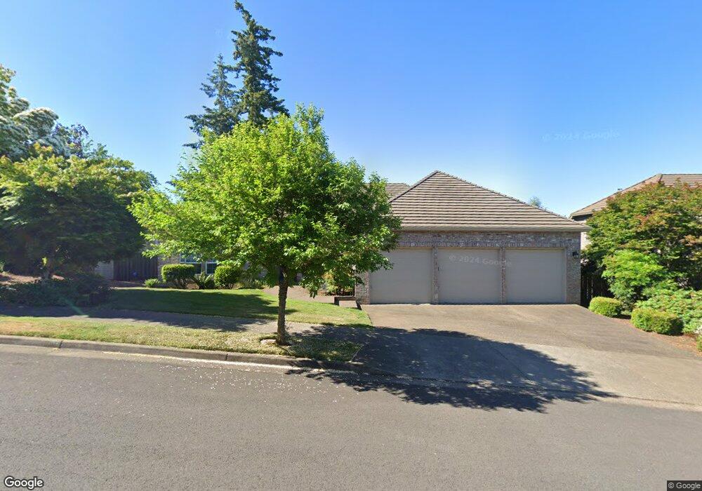
2207 Carson Dr West Linn, OR 97068
Willamette NeighborhoodEstimated Value: $839,829 - $966,000
3
Beds
3
Baths
2,688
Sq Ft
$333/Sq Ft
Est. Value
About This Home
This home is located at 2207 Carson Dr, West Linn, OR 97068 and is currently estimated at $895,457, approximately $333 per square foot. 2207 Carson Dr is a home located in Clackamas County with nearby schools including Willamette Primary School, Athey Creek Middle School, and West Linn High School.
Ownership History
Date
Name
Owned For
Owner Type
Purchase Details
Closed on
Mar 5, 2018
Sold by
Wu Michael
Bought by
Wu Michael Y and Wu Ashley E
Current Estimated Value
Purchase Details
Closed on
May 11, 2015
Sold by
Juhr Norma Jean and Norman Jean Juhr Revocable Tru
Bought by
Wu Michael
Home Financials for this Owner
Home Financials are based on the most recent Mortgage that was taken out on this home.
Original Mortgage
$340,000
Outstanding Balance
$261,070
Interest Rate
3.67%
Mortgage Type
New Conventional
Estimated Equity
$634,387
Purchase Details
Closed on
Dec 20, 2002
Sold by
Juhr Kenneth J and Juhr Norma J
Bought by
Juhr Norma Jean and Damis James J
Purchase Details
Closed on
Feb 25, 1997
Sold by
Jc Reeves Corp
Bought by
Juhr Kenneth J and Juhr Norma J
Create a Home Valuation Report for This Property
The Home Valuation Report is an in-depth analysis detailing your home's value as well as a comparison with similar homes in the area
Home Values in the Area
Average Home Value in this Area
Purchase History
| Date | Buyer | Sale Price | Title Company |
|---|---|---|---|
| Wu Michael Y | -- | None Available | |
| Wu Michael | $502,000 | Fidelity National Title | |
| Juhr Norma Jean | -- | None Available | |
| Juhr Kenneth J | $389,900 | Fidelity National Title Co |
Source: Public Records
Mortgage History
| Date | Status | Borrower | Loan Amount |
|---|---|---|---|
| Open | Wu Michael | $340,000 |
Source: Public Records
Tax History
| Year | Tax Paid | Tax Assessment Tax Assessment Total Assessment is a certain percentage of the fair market value that is determined by local assessors to be the total taxable value of land and additions on the property. | Land | Improvement |
|---|---|---|---|---|
| 2025 | $11,252 | $583,876 | -- | -- |
| 2024 | $10,831 | $566,870 | -- | -- |
| 2023 | $10,831 | $550,360 | $0 | $0 |
| 2022 | $10,223 | $534,331 | $0 | $0 |
| 2021 | $9,388 | $518,768 | $0 | $0 |
| 2020 | $9,323 | $503,659 | $0 | $0 |
| 2019 | $8,929 | $488,990 | $0 | $0 |
| 2018 | $8,479 | $474,748 | $0 | $0 |
| 2017 | $8,271 | $460,920 | $0 | $0 |
| 2016 | $7,932 | $447,495 | $0 | $0 |
Source: Public Records
Map
Nearby Homes
- 2311 Falcon Dr
- 2288 Saint Moritz Loop
- 2360 Falcon Dr
- 6535 Summerlinn Way Unit 81
- 2378 Falcon Dr
- 6840 Summerlinn Way Unit 93
- 4650 Summerlinn Way
- 3850 Summerlinn Dr Unit 58
- 4555 Summerlinn Way
- 3135 Summerlinn Dr Unit 40
- 4335 Summerlinn Dr
- 2050 Alpine Dr
- 1640 Village Park Place
- 850 Springtree Ln Unit 850
- 2255 Crestview Dr
- 640 Springtree Ln
- 1791 Blankenship Rd
- 22872 Weatherhill Rd
- 22880 Weatherhill Rd
- 22898 Weatherhill Rd
- 2211 Carson Dr Unit LT 24
- 2211 Carson Dr
- 2374 Taylor Dr Unit LT 22
- 2374 Taylor Dr
- 1930 Taylor Ct
- 1950 Taylor Ct Unit LT 19
- 1950 Taylor Ct
- 1910 Taylor Ct
- 0 Taylor Dr
- 2208 Carson Dr
- 2384 Taylor Dr
- 2314 Falcon Dr
- 2314 Falconre-List
- 2314 Falcon Re-List
- 2215 Carson Dr
- 2308 Falcon Dr
- 2318 Falcon Dr
- 2377 Taylor Dr
- 2373 Taylor Dr Unit 6
- 2373 Taylor Dr
Your Personal Tour Guide
Ask me questions while you tour the home.